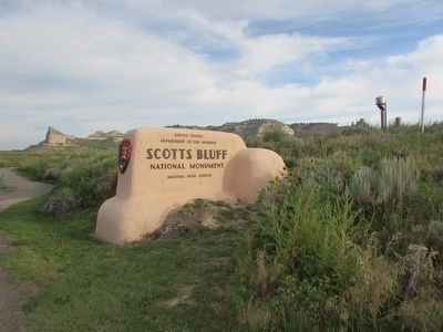
Gering in Scotts Bluff County, Nebraska — The American Midwest (Upper Plains)
Scotts Bluff
Famous landmark on the Oregon Trail 1840-1860
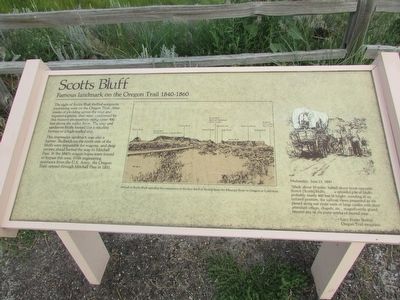
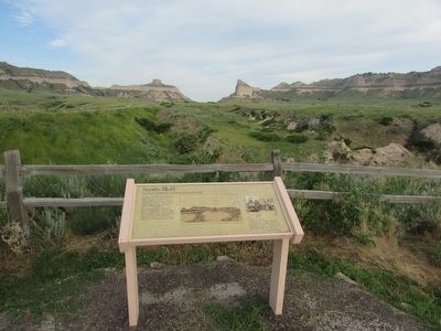
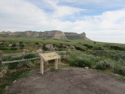
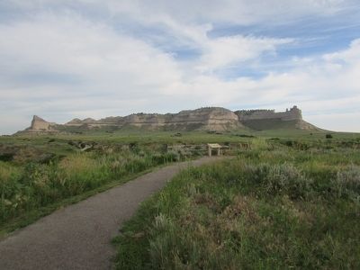
The sight of Scotts Bluff thrilled emigrants journeying west on the Oregon Trail. After weeks of plodding across the wild and expansive plains, they were confronted by this massive promontory rising some 800 feet above the valley floor. The clay and sandstone bluffs looked like a dazzling fortress or a high-walled city.
This impressive landmark was also a barrier. Badlands on the north side of the bluffs were impassible for wagons, and deep ravines ahead barred the way to Mitchell Pass. In the 1840’s wagon trains were forced to bypass this area. With engineering assistance from the U.S. Army, the Oregon Trail opened through Mitchell Pass in 1851.
Wednesday, June 13, 1849
“Made about 10 miles; halted about noon opposite Scotch [Scotts] bluffs, . . . a splendid pile of bluffs, probably nearly 400 feet in height, standing in an isolated position; the various views presented as we passed along our route were of large castles with their attendant offices, chapels, etc., magnificently grand, beyond any of the puny works of mortal man . . . . ”- Lucy Foster Sexton
Oregon Trail emigrant
Erected by National Park Service, U.S. Department of the Interior.
Topics. This historical marker is listed in this topic list: Natural Features . A significant historical date for this entry is June 13, 1863.
Location. This marker has been replaced by another marker nearby. It was located near 41° 49.409′ N, 103° 41.685′ W. Marker was in Gering, Nebraska, in Scotts Bluff County. Marker was on Old Oregon Trail Road, on the right when traveling west. The marker was located just inside Scotts Bluffs National Monument. Touch for map. Marker was in this post office area: Gering NE 69341, United States of America. Touch for directions.
Other nearby markers. At least 8 other markers are within walking distance of this location. Portal to the West (here, next to this marker); A Sea of Grass (approx. 0.4 miles away); Scott's Bluff Pony Express Station (approx. 0.7 miles away); Choices (approx. 0.8 miles away); The Many Faces of the Trail (approx. 0.8 miles away); Before the Wagons (approx. 0.8 miles away); A Landscape Changed Forever (approx. 0.8 miles away); Remnant Highlands (approx. 0.9 miles away). Touch for a list and map of all markers in Gering.
More about this marker. A picture of the landscape appears in the center of the marker. It contains a caption of “Arrival at Scotts Bluff signaled the completion of the first third of the trip from the Missouri River to Oregon or California.”
Related marker. Click here for another marker that is related to this marker. This marker has been replaced by the linked marker.
Credits. This page was last revised on June 2, 2021. It was originally submitted on August 15, 2015, by Bill Coughlin of Woodland Park, New Jersey. This page has been viewed 458 times since then and 9 times this year. Last updated on May 30, 2021, by Connor Olson of Kewaskum, Wisconsin. Photos: 1, 2, 3, 4, 5. submitted on August 15, 2015, by Bill Coughlin of Woodland Park, New Jersey. • Devry Becker Jones was the editor who published this page.
