Portal to the West
A welcome landmark
— Scotts Bluff National Monument —
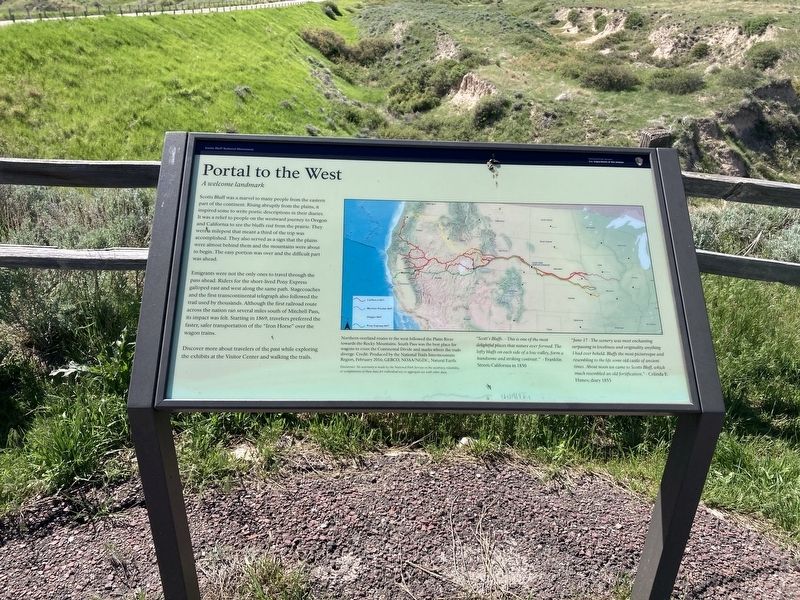
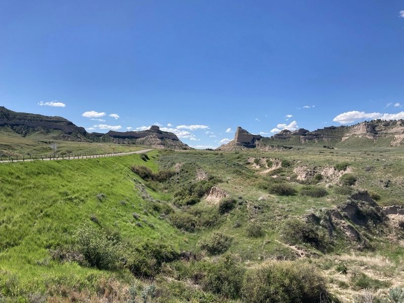
Scotts Bluff was a marvel to many people from the eastern part of the continent. Rising abruptly from the plains, it inspired some to write poetic descriptions in their diaries. It was a relief to people on the westward journey to Oregon and California to see the bluffs rise from the prairie. They were a milepost that meant a third of the trip was accomplished. They also served as a sign that the plains were almost behind them and the mountains were about to begin. The easy portion was over and the difficult part was ahead.
Emigrants were not the only ones to travel through the pass ahead. Riders for the short-lived Pony Express galloped east and west along the same path. Stagecoaches and the first transcontinental telegraph also followed the trail used by thousands. Although the first railroad route across the nation ran several miles south of Mitchell Pass, its impact was felt. Starting in 1869, travelers preferred the faster, safer transportation of the "Iron Horse" over the wagon trains.
Discover more about travelers of the past while exploring the exhibits at the Visitor Center and walking the trails.
[Caption:]
Northern overland routes to the west followed the Platte River
towards the Rocky Mountains, South Pass was the best place for
wagons to cross the Continental
Divide and marks where the trails
diverge.
"Scott's Bluffs. - This is one of the most delightful places that nature ever formed. The lofty bluffs on each side of a low valley, forma handsome and striking contrast." - Franklin Street; California in 1850“June-17 - The scenery was most enchanting surpassing in loveliness and originality anything I had ever beheld. Bluffs the most picturesque and resembling to the life some old castle of ancient times. About noon we came to Scotts Bluff, which much resembled an old fortification." Celinda E. Himes; diary 1853
Erected by National Park Service, U.S. Department of the Interior.
Topics. This historical marker is listed in these topic lists: Communications • Parks & Recreational Areas • Railroads & Streetcars • Settlements & Settlers. A significant historical year for this entry is 1869.
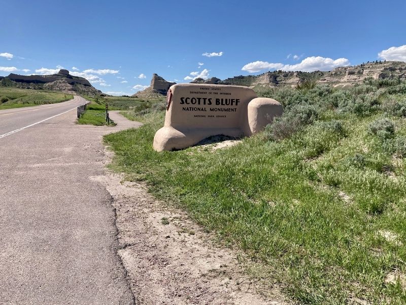
Location. 41° 49.409′ N, 103° 41.685′ W. Marker is near Gering, Nebraska, in Scotts Bluff County. Marker is on Old Oregon Trail (County Road K) 0.7 miles west of Meadowlark Boulevard, on the right when traveling west. The marker stands behind the Scotts Bluff entrance sign. Touch for map. Marker is in this post office area: Gering NE 69341, United States of America. Touch for directions.
Other nearby markers. At least 8 other markers are within walking distance of this marker. A Sea of Grass (approx. 0.4 miles away); Scott's Bluff Pony Express Station (approx. 0.7 miles away); Choices (approx. 0.8 miles away); The Many Faces of the Trail (approx. 0.8 miles away); Before the Wagons (approx. 0.8 miles away); A Landscape Changed Forever (approx. 0.8 miles away); Remnant Highlands (approx. 0.9 miles away); A Transportation Corridor (approx. 0.9 miles away). Touch for a list and map of all markers in Gering.
Related marker. Click here for another marker that is related to this marker. This marker has replaced the linked marker.
Credits. This page was last revised on June 2, 2021. It was originally submitted on May 30, 2021, by Connor Olson of Kewaskum, Wisconsin. This page has been viewed 149 times since then and 9 times this year. Photos: 1, 2, 3. submitted on May 30, 2021, by Connor Olson of Kewaskum, Wisconsin. • Devry Becker Jones was the editor who published this page.


