Near Crawford in Dawes County, Nebraska — The American Midwest (Upper Plains)
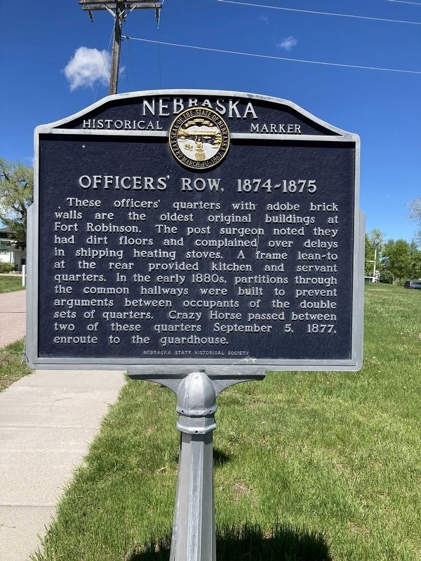
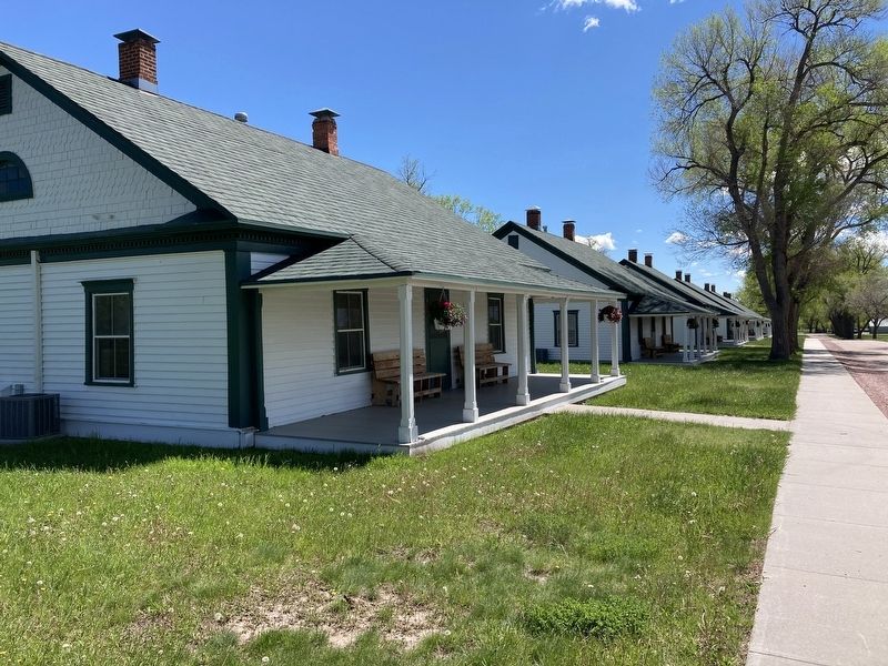
Officers’ Row, 1874-1875
Erected by Nebraska State Historical Society. (Marker Number 274.)
Topics. This historical marker is listed in these topic lists: Forts and Castles • Native Americans • Science & Medicine.
Location. 42° 39.982′ N, 103° 27.909′ W. Marker is near Crawford, Nebraska, in Dawes County. Marker can be reached from U.S. 20. Touch for map. Marker is at or near this postal address: 3200 US Hwy 20, Crawford NE 69339, United States of America. Touch for directions.
Other nearby markers. At least 8 other markers are within walking distance of this marker. Fort Robinson (about 400 feet away, measured in a direct line); 1909 Brick Barracks (about 500 feet away); Crazy Horse (about 500 feet away); Adjuncts Office/Guardhouse (about 500 feet away); Ft. Robinson (about 600 feet away); Cavalry Barracks/Cheyenne Outbreak (about 600 feet away); Chief Crazy Horse (about 700 feet away); Post Headquarters, 1905 (approx. 0.2 miles away). Touch for a list and map of all markers in Crawford.
Credits. This page was last revised on May 14, 2023. It was originally submitted on May 30, 2021, by Connor Olson of Kewaskum, Wisconsin. This page has been viewed 171 times since then and 10 times this year. Last updated on May 14, 2023, by Jeff Leichsenring of Garland, Texas. Photos: 1, 2. submitted on May 30, 2021, by Connor Olson of Kewaskum, Wisconsin. • J. Makali Bruton was the editor who published this page.

