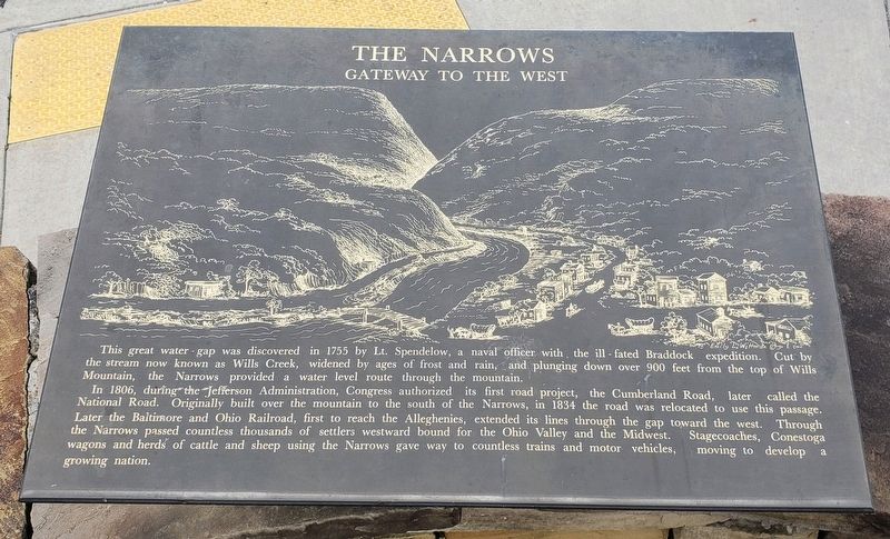
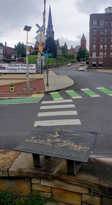
The Narrows
Gateway To The West
In 1806, during the Jefferson Administration, Congress authorized its first road project, the Cumberland Road, later called the National Road. Originally built over the mountain to the south of the Narrows, in 1834 the road was relocated to use this passage.
Later the Baltimore and Ohio Railroad, first to reach the Alleghenies, extended its lines through the gap toward the west. Through the Narrows passed countless thousands of settlers westward bound for the Ohio Valley and the Midwest. Stagecoaches, Conestoga
wagons and herds of cattle and sheep using the Narrows gave way to countless trains and motor vehicles, moving to develop a growing nation.
Topics. This historical marker is listed in these topic lists: Industry & Commerce • Railroads & Streetcars • Roads & Vehicles • Settlements & Settlers. A significant historical year for this entry is 1755.
Location. 39° 39.058′ N, 78° 45.814′ W. Marker is in Cumberland, Maryland, in Allegany County.
Other nearby markers. At least 8 other markers are within walking distance of this marker. Plan Of The Fort (here, next to this marker); Heritage Park (a few steps from this marker); Baltimore Street (a few steps from this marker); Cumberland (a few steps from this marker); On This Site Stood Metro Clothes (within shouting distance of this marker); Light The Steeples (within shouting distance of this marker); Crossroads of America Mural (within shouting distance of this marker); Ohio Co. and Fort Cumberland (within shouting distance of this marker). Touch for a list and map of all markers in Cumberland.
Credits. This page was last revised on August 29, 2022. It was originally submitted on May 30, 2021, by Bradley Owen of Morgantown, West Virginia. This page has been viewed 142 times since then and 9 times this year. Photos: 1, 2. submitted on May 30, 2021, by Bradley Owen of Morgantown, West Virginia. 3. submitted on August 7, 2022, by Craig Doda of Napoleon, Ohio. • Bill Pfingsten was the editor who published this page.


