Baxter Springs in Cherokee County, Kansas — The American Midwest (Upper Plains)
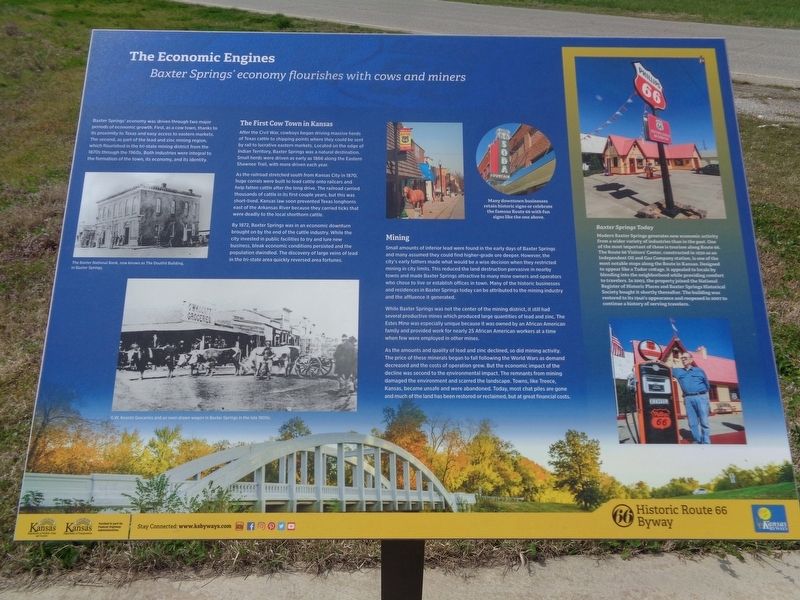
Tbe Economic Engines
Baxter Springs' economy flourishes with cows and miners
The First Cow Town in Kansas
After the Civil War, cowboys began driving massive herds of Texas cattle to shipping points where they could be sent by rail to lucrative eastern markets. Located on the edge of Indian Territory, Baxter Springs was a natural destination. Small herds were driven as early as 1866 along the Eastern Shawnee Trail, with more driven each year.
As the railroad stretched south from Kansas City in 1870, huge corrals were built to load cattle onto railcars and help fatten cattle after the long drive. The railroad carried thousands of cattle in its first couple years, but this was short-lived. Kansas law soon prevented Texas longhorns east of the Arkansas River because they carried ticks that were deadly to the local shorthorn cattle.
By 1872, Baxter Springs was in an economic downturn brought on by the end of the cattle industry. While the city invested in public facilities to try and lure new business, bleak economic conditions persisted and the population dwindled. The discovery of large veins of lead in the tri-state area quickly reversed area fortunes.
Mining
Small amounts of inferior lead were found in the early days of Baxter Springs and many assumed they could find higher-grade ore deeper. However, the city's early fathers made what would be a wise decision when they restricted mining in city limits. This reduced the land destruction pervasive in nearby towns and made Baxter Springs attractive to many mine owners and operators who chose to live or establish offices in town. Many of the historic businesses and residences in Baxter Springs today can be attributed to the mining industry and the affluence it generated.
While Baxter Springs was not the center of the mining district, it still had several productive mines which produced large quantities of lead and zinc. The Estes Mine was especially unique because it was owned by an African American family and provided work for nearly 25 African American workers at a time when few were employed in other mines.
As the amounts and quality of lead and zinc declined, so did mining activity. The price of these minerals began to fall following the World Wars as demand decreased and the costs of operation grew. But the economic impact of the decline was
second to the environmental impact. The remnants from mining damaged the environment and scarred the landscape. Towns, like Treece, Kansas, became unsafe and were abandoned. Today, most chat piles are gone and much of the land has been restored or reclaimed, but at great financial costs.
Baxter Springs Today
Modern Baxter Springs generates new economic activity from a wider variety of industries than in the past. One of the most important of these is tourism along Route 66. The Route 66 Visitors' Center, constructed in 1930 as an Independent Oil and Gas Company station, is one of the most notable stops along the Route in Kansas. Designed to appear like a Tudor cottage, it appealed to locals by blending into the neighborhood while providing comfort to travelers. In 2003, the property joined the National Register of Historic Places and Baxter Springs Historical Society bought it shortly thereafter. The building was restored to its 1940's appearance and reopened in 2007 to continue a history of serving travelers.
Topics and series. This historical marker is listed in these topic lists: African Americans • Agriculture • Animals • Industry & Commerce. In addition, it is included in the U.S. Route 66 series list. A significant historical year for this entry is 1866.
Location. 37° 2.042′ N, 94° 44.426′ W. Marker is in Baxter Springs, Kansas, in Cherokee County. Marker is at the intersection of West 2nd Street and Willow Avenue (Old U.S. 66), on the right when traveling east on West 2nd Street. Touch for map. Marker is at or near this postal address: 522 W 2nd St, Baxter Springs KS 66713, United States of America. Touch for directions.
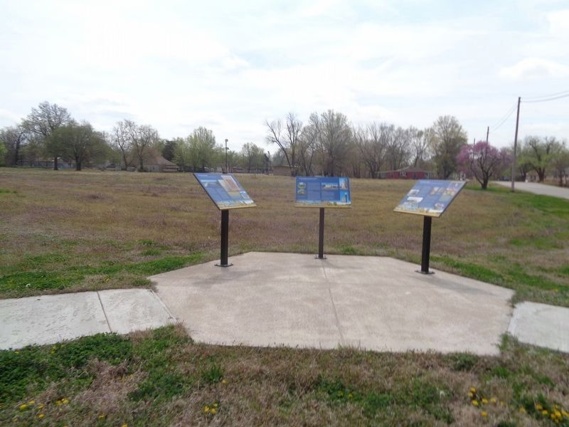
Other nearby markers. At least 8 other markers are within walking distance of this marker. Baxter Springs: from Fort to Town (here, next to this marker); The Earliest Residents (here, next to this marker); Civil War Tour (approx. 0.3 miles away); Baxter Springs Massacre (approx. 0.3 miles away); Baxter Springs Massacre 1863 (approx. 0.3 miles away); Baxter Springs, Kansas (approx. 0.3 miles away); Baxter Springs Massacre Burial Site (approx. 0.4 miles away); Battle of Baxter Springs (approx. half a mile away). Touch for a list and map of all markers in Baxter Springs.
Credits. This page was last revised on May 30, 2021. It was originally submitted on May 30, 2021, by Jason Voigt of Glen Carbon, Illinois. This page has been viewed 164 times since then and 6 times this year. Photos: 1, 2. submitted on May 30, 2021, by Jason Voigt of Glen Carbon, Illinois.

