Pontiac in Oakland County, Michigan — The American Midwest (Great Lakes)
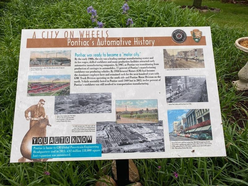
A City On Wheels
Pontiac's Automotive History
Photographed by J.T. Lambrou, May 28, 2021
1. A City On Wheels Marker
By the early 1900s, the city was a leading carriage manufacturing center and its low wages, skilled workforce and many production facilities attracted early automotive manufacturing companies. In 1907, as Pontiac was transitioning from production of carriages to automobiles, 77 percent of Pontiac's manufacturing workforce was producing vehicles. By 1910 General Motors (GM) had become the dominant employer here and remained such for the next hundred years with GMC Truck Division operating on the south side and Pontiac Motor Division on the north. Vehicle assembly lasted in Pontiac until 2009 but in 2013, twelve percent of Pontiac's workforce was still involved in transportation manufacturing.
You Auto Know
Pontiac is home to GM Global Powertrain Engineering Headquarters and in 2013, a $2 million 138,000 square foot expansion was announced.
Erected by Motorcities National Heritage Area, National Park Service.
Topics. This historical marker is listed in these topic lists: Industry & Commerce • Roads & Vehicles.
Location. 42° 38.854′ N,
this page online

Regionally, this marker is in Southeast Michigan and in Greater Detroit. It is also in the American Midwest. Globally, it is in North America, the Western Hemisphere, the Western World, and the Anglosphere. Historically, it finds itself in what was once the Northwest Territory.
Other nearby markers. At least 8 other markers are within walking distance of this marker: "Pine Grove" (about 400 feet away, measured in a direct line); Wisner Stadium WWII Memorial (about 500 feet away); Validation Testing (approx. 0.7 miles away); First Baptist Church (approx. ¾ mile away); Made in Pontiac (approx. ¾ mile away); Franklin Boulevard Historic District (approx. ¾ mile away); Building Bodies (approx. 0.8 miles away); First Presbyterian Church (approx. 0.8 miles away).
Photographed by J.T. Lambrou, May 28, 2021
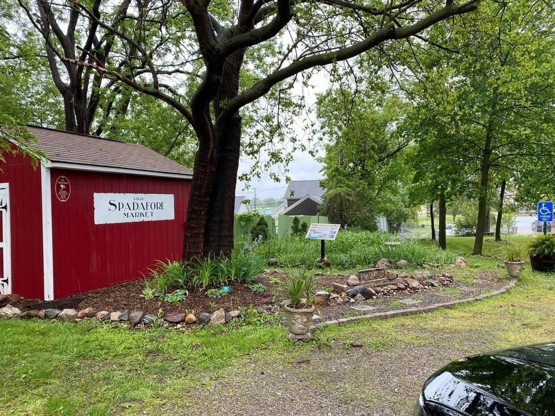
2. A City On Wheels Marker
Credits. This page was last revised on June 2, 2021. It was originally submitted on May 31, 2021, by J.T. Lambrou of New Boston, Michigan. This page has been viewed 254 times since then and 29 times this year. Photos: 1, 2. submitted on May 31, 2021, by J.T. Lambrou of New Boston, Michigan. • Mark Hilton was the editor who published this page.
