Near Elizabeth in Wirt County, West Virginia — The American South (Appalachia)
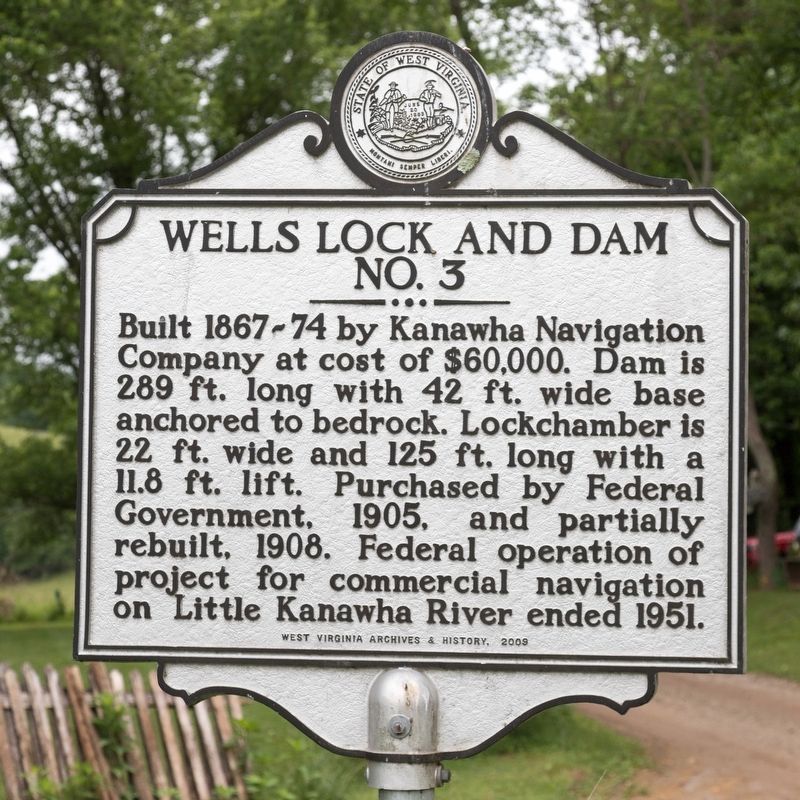
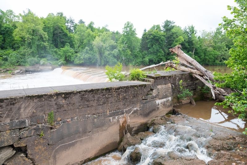
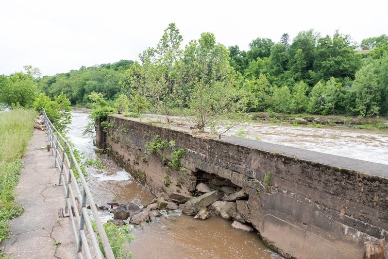
Wells Lock and Dam No. 3
Erected 2009 by West Virginia Archives & History.
Topics. This historical marker is listed in this topic list: Waterways & Vessels. A significant historical year for this entry is 1905.
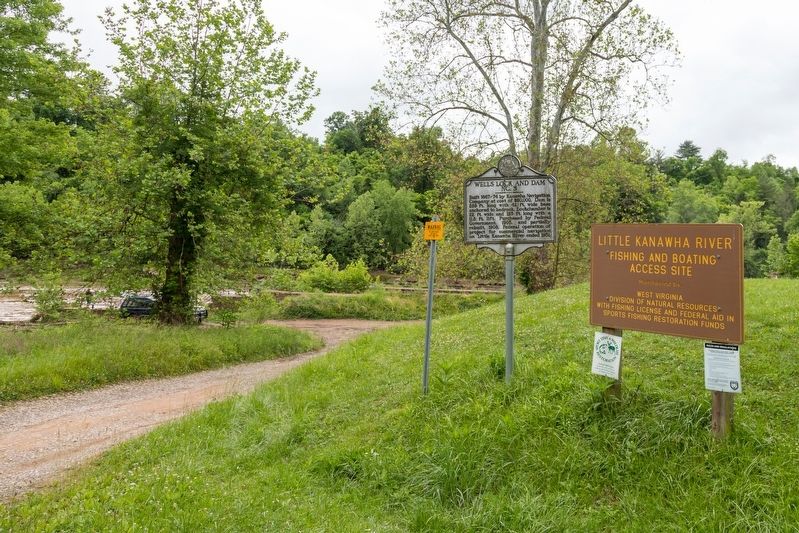
Location. 39° 4.102′ N, 81° 23.324′ W. Marker is near Elizabeth, West Virginia, in Wirt County. Marker is on Lock Three Road just south of Wells Lock Road (Local Road 14/7), on the right when traveling south. It is at the Wells Lock Public [Waterway] Access Site, which is 1 mile east of WV Route 14. Touch for map. Marker is in this post office area: Elizabeth WV 26143, United States of America. Touch for directions.
Other nearby markers. At least 8 other markers are within 7 miles of this marker, measured as the crow flies. Beauchamp-Newman Museum (approx. 0.4 miles away); Wirt County Honor Roll (approx. half a mile away); Elizabeth (approx. half a mile away); Historical Elizabeth (approx. half a mile away); Murder of William B. Dulin (approx. 3.4 miles away); Ruble Church (approx. 5 miles away); Camp Kootaga (approx. 5.7 miles away); Ritchie County / Wirt County (approx. 6˝ miles away). Touch for a list and map of all markers in Elizabeth.
Regarding Wells Lock and Dam No. 3. There is a small park with a picnic shelter here. There is never a charge to enter any West Virginia state park.
Credits. This page was last revised on May 31, 2021. It was originally submitted on May 31, 2021, by J. J. Prats of Powell, Ohio. This page has been viewed 556 times since then and 81 times this year. Photos: 1, 2, 3, 4. submitted on May 31, 2021, by J. J. Prats of Powell, Ohio.


