Near Crawford in Dawes County, Nebraska — The American Midwest (Upper Plains)
Ft. Robinson
Photographed by Connor Olson, May 25, 2021
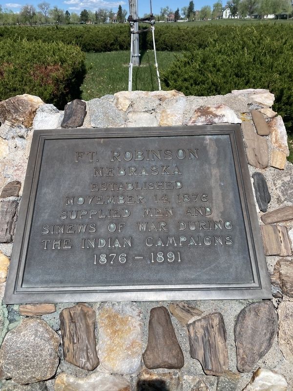
1. Ft. Robinson Marker
Nebraska
established
November 14, 1876
supplied men and
sinews of war during
the Indian campaigns
1876-1891
Topics. This memorial is listed in these topic lists: Forts and Castles • Wars, US Indian.
Location. 42° 40.109′ N, 103° 28.011′ W. Memorial is near Crawford, Nebraska, in Dawes County. It can be reached from Bridges to Buttes Byway (U.S. 20). Touch for map. Memorial is at or near this postal address: 3200 Bridges to Buttes Byway, Crawford NE 69339, United States of America. Touch for directions.

Regionally, this memorial is in the Nebraska Panhandle. It is also in the American Midwest, in the Corn Belt, on the prairies, on the Great Plains, on the Northern Plains, and specifically on the High Plains. Globally, it is in North America, the Western Hemisphere, the Western World, and the Anglosphere. Historically, it finds itself in what was once the Louisiana Purchase.
Other nearby markers. At least 8 other markers are within walking distance of this marker: Flagstaff, 1890 (here, next to this marker); Post Headquarters, 1905
this page online
Photographed by Connor Olson, May 25, 2021
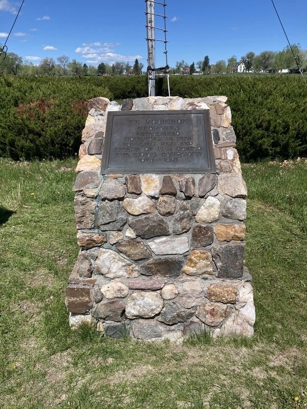
2. Ft. Robinson Marker
Credits. This page was last revised on June 4, 2021. It was originally submitted on June 1, 2021, by Connor Olson of Menomonee Falls, Wisconsin. This page has been viewed 275 times since then and 21 times this year. Photos: 1, 2. submitted on June 1, 2021, by Connor Olson of Menomonee Falls, Wisconsin. • Bill Pfingsten was the editor who published this page.
