Near Shepherdsville in Bullitt County, Kentucky — The American South (East South Central)
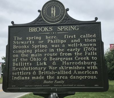
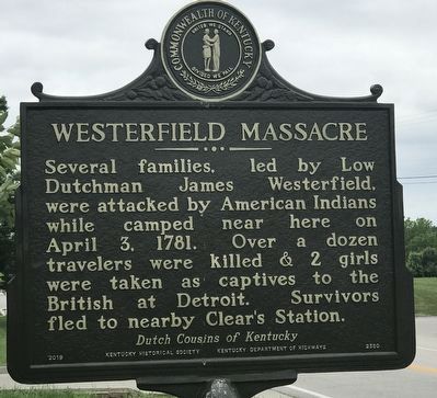
Brooks' Spring / Westerfield Massacre
Erected 2019 by Kentucky Historical Society and Kentucky Department of Highways. (Marker Number 2580.)
Topics and series. This historical marker is listed in these topic lists: Disasters • Native Americans • Settlements & Settlers • Waterways & Vessels. In addition, it is included in the Kentucky Historical Society series list. A significant historical date for this entry is April 3, 1781.
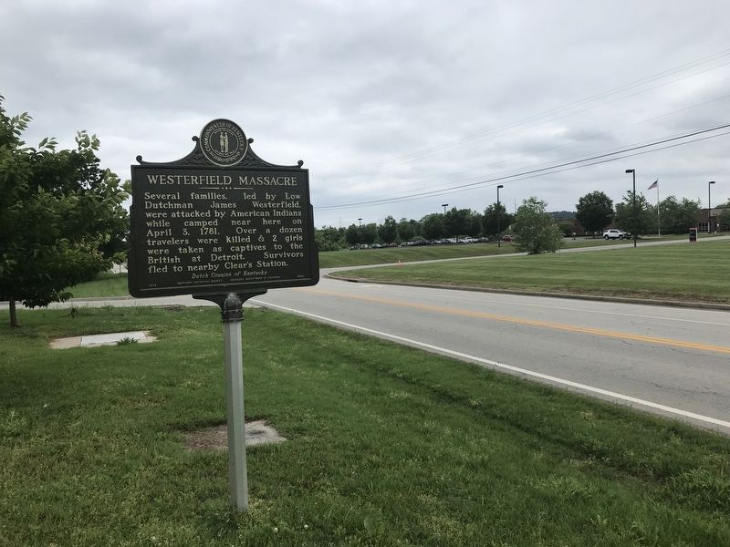
Location. 38° 3.717′ N, 85° 41.697′ W. Marker is near Shepherdsville, Kentucky, in Bullitt County. Marker is on West Hebron Lane, 0.1 miles south of John Harper Highway (Kentucky Route 1526), on the left when traveling south. Touch for map. Marker is at or near this postal address: 1868 West Hebron Lane, Shepherdsville KY 40165, United States of America. Touch for directions.
Other nearby markers. At least 8 other markers are within 6 miles of this marker, measured as the crow flies. Brashear's Station (approx. 4.1 miles away); Lewis and Clark in Kentucky Field Brothers (approx. 4.3 miles away); Jefferson County (Kentucky) Korean War Memorial (approx. 4.4 miles away); Samuels Property Added to the Jefferson Memorial Forest (approx. 4.6 miles away); Wilderness Road (approx. 5 miles away); Alma Wallace Lesch (approx. 5.1 miles away); Bullitt County Veterans Memorial (approx. 5.2 miles away); County Named, 1796 (approx. 5.2 miles away). Touch for a list and map of all markers in Shepherdsville.
Also see . . . Westerfield Massacre. Summary of the attack by the Bullitt County Genealogical Society. (Submitted on June 2, 2021, by Duane and Tracy Marsteller of Murfreesboro, Tennessee.)
Credits. This page was last revised on June 2, 2021. It was originally submitted on June 2, 2021, by Duane and Tracy Marsteller of Murfreesboro, Tennessee. This page has been viewed 400 times since then and 67 times this year. Photos: 1, 2, 3. submitted on June 2, 2021, by Duane and Tracy Marsteller of Murfreesboro, Tennessee.


