Downtown Los Angeles in Los Angeles County, California — The American West (Pacific Coastal)
Sandstone Trough
Photographed by Craig Baker, June 1, 2021
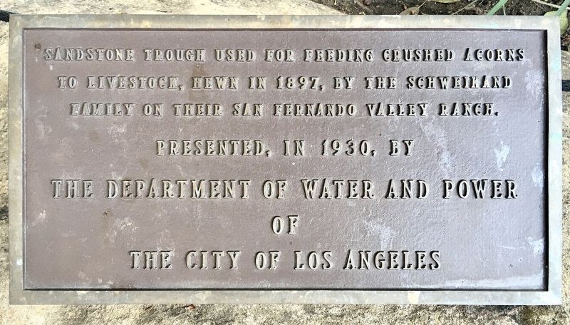
1. Sandstone Trough Marker
Sandstone trough used for feeding crushed acorns to livestock, hewn in 1897 by the Schweikand family on their San Fernando Valley ranch.
Presented in 1930 by the Department of Water and Power of the City of Los Angeles.
Erected 1930 by City of Los Angeles.
Topics. This historical marker is listed in these topic lists: Agriculture • Animals. A significant historical year for this entry is 1897.
Location. 34° 3.482′ N, 118° 14.249′ W. Marker is in Los Angeles, California, in Los Angeles County. It is in Downtown Los Angeles. It is on Olvera Street just south of Cesar Chavez Avenue. Touch for map. Marker is at or near this postal address: E-23 Olvera St, Los Angeles CA 90012, United States of America. Touch for directions.

Regionally, this marker is in the Transverse Ranges. It is also on the American Pacific Coast. Globally, it is in North America, on the Ring of Fire, on the Pacific Rim, in the Western Hemisphere, in the Western World, and in the Anglosphere. Historically, it finds itself in what was once New Spain and also Mexico’s Alta California.
Other nearby markers. At least 8 other
this page online
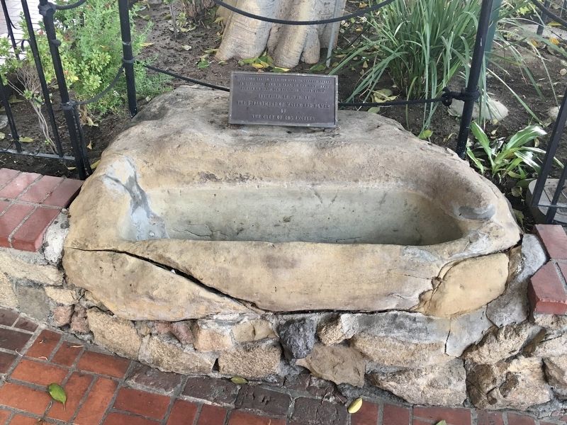
Regarding Sandstone Trough. In 1897, a drought caused the Schweikhard family to search for extra food for the horses on their 37-acre ranch in Chatsworth. They noticed that the pigs liked the acorns under the oak trees, so August Schweikhard suggested that the horses would eat them too if the shells were broken. The family used a dull hatchet to cut out a trough in a sandstone boulder located in the horse corral. The kids would gather acorns and put them in the trough and mash them up.
In 1912, when the
Photographed by Craig Baker, June 1, 2021
2. Sandstone Trough and Marker
“Water trough hewn by the Mission Indians in the year eighteen hundred and twenty. Presented by the Department of Water and Power of the City of Los Angeles, 1930.”
Today’s marker has the name Schweikhard misspelled as Schweikand.
Part of their original ranch is now Chatsworth Oaks Park, located at 9301 Valley Circle Blvd.
Additional keywords. Schweikhard, Chatsworth
Photographed by Craig Baker, June 1, 2021
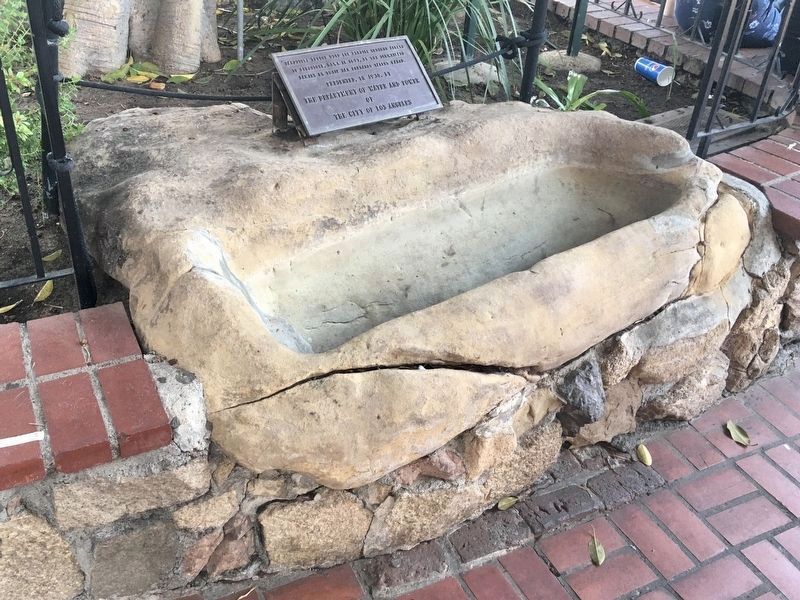
3. Sandstone Trough and Marker
Credits. This page was last revised on August 4, 2026. It was originally submitted on June 2, 2021, by Craig Baker of Sylmar, California. This page has been viewed 524 times since then and 21 times this year. Photos: 1, 2, 3. submitted on June 2, 2021, by Craig Baker of Sylmar, California.
