Safety Harbor in Pinellas County, Florida — The American South (South Atlantic)
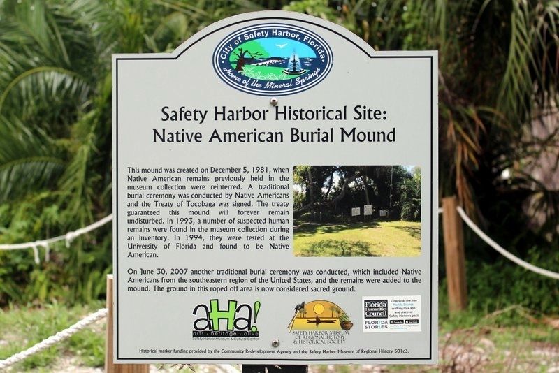
Safety Harbor Historical Site: Native American Burial Mound
Inscription.
This mound was created on December 5, 1981, when Native American remains previously held in the museum collection were reinterred. A traditional burial ceremony was conducted by Native Americans and the Treaty of Tocobaga was signed. The treaty guaranteed this mound will forever remain undisturbed. In 1993, a number of suspected human remains were found in the museum collection during an inventory. In 1994, there were tested at the University of Florida and found to be Native American.
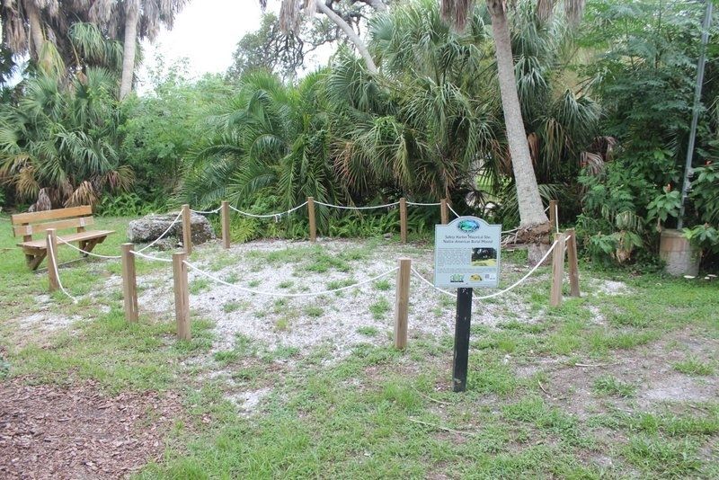
On June 30, 2007 another traditional burial ceremony was conducted, which included Native Americans from the southeastern region of the United States, and the remains were added to the mound. The ground in this roped off area is now considered sacred ground.
Erected by Community Redevelopment Agency and the Safety Harbor Museum of Regional History.
Topics. This historical marker is listed in these topic lists: Cemeteries & Burial Sites • Native Americans. A significant historical date for this entry is December 5, 1981.
Location. 27° 59.327′ N, 82° 41.395′ W. Marker is in Safety Harbor, Florida, in Pinellas County. Marker can be reached from South Bayshore Boulevard just north of Scott Street. Marker located on the grounds of the Safety Harbor Museum of Regional History. Touch for map . Marker is at or near this postal address: 329 South Bayshore Boulevard, Safety Harbor FL 34695, United States of America. Touch for directions.
Other nearby markers. At least 8 other markers are within walking distance of this marker. Safety Harbor Historical Site: Lover's Oak (about 500 feet away, measured in a direct line); Safety Harbor Historical Site: First Town Hall (about 700 feet away); Safety Harbor Historical Site: St. James Hotel (approx. 0.2 miles away); Safety Harbor Historical Site: Baranoff Oak Tree (approx. 0.2 miles away); Safety Harbor Historical Site: The Hotel Frances (approx. 0.2 miles away); Safety Harbor Historical Site: Presbyterian Church (approx. 0.2 miles away); “The Baranoff Oak” (approx. 0.2 miles away); Safety Harbor Historical Site: 136 4th Ave. N. Safety Harbor: "The 1908 Gingerbread House" (approx. 0.2 miles away). Touch for a list and map of all markers in Safety Harbor.
Also see . . . Safety harbor Museum and Cultural Center. (Submitted on June 2, 2021, by Tim Fillmon of Webster, Florida.)
Credits. This page was last revised on June 6, 2021. It was originally submitted on June 2, 2021, by Tim Fillmon of Webster, Florida. This page has been viewed 312 times since then and 47 times this year. Photos: 1, 2. submitted on June 2, 2021, by Tim Fillmon of Webster, Florida.

