Fort Mitchell in Kenton County, Kentucky — The American South (East South Central)
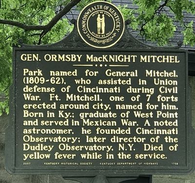
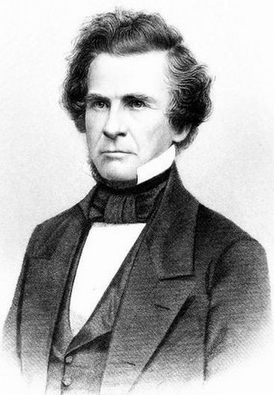
Gen. Ormsby MacKnight Mitchel
Erected 2007 by Kentucky Historical Society and Kentucky Department of Highways. (Marker Number 1758.)
Topics and series. This historical marker is listed in these topic lists: Air & Space • Parks & Recreational Areas • War, US Civil. In addition, it is included in the Kentucky Historical Society series list. A significant historical year for this entry is 1862.
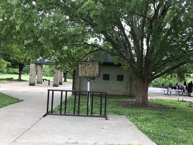
Location. 39° 3.235′ N, 84° 33.839′ W. Marker is in Fort Mitchell, Kentucky, in Kenton County. Marker can be reached from Grandview Drive north of General Mitchel Lane. Marker is in General Ormsby Mitchel Park. Touch for map. Marker is in this post office area: Ft Mitchell KY 41017, United States of America. Touch for directions.
Other nearby markers. At least 8 other markers are within 2 miles of this marker, measured as the crow flies. Fort Mitchell Country Club Centennial (approx. half a mile away); A Confederate Thrust (approx. half a mile away); Old Fort Mitchell Historic District (approx. ¾ mile away); Beechwood Historic District (approx. 0.8 miles away); Confederate Financier / Confederate Benefactor (approx. 0.9 miles away); Fort Mitchel (approx. 1.1 miles away); Revolutionary War Patriots (approx. 1.2 miles away); Fort Wright (approx. 1½ miles away). Touch for a list and map of all markers in Fort Mitchell.
Also see . . . Ormsby M. Mitchel (Wikipedia). (Submitted on June 3, 2021, by Duane and Tracy Marsteller of Murfreesboro, Tennessee.)
Credits. This page was last revised on June 3, 2021. It was originally submitted on June 3, 2021, by Duane and Tracy Marsteller of Murfreesboro, Tennessee. This page has been viewed 255 times since then and 49 times this year. Photos: 1, 2, 3. submitted on June 3, 2021, by Duane and Tracy Marsteller of Murfreesboro, Tennessee.


