Covington in Kenton County, Kentucky — The American South (East South Central)
Ritte's Corner
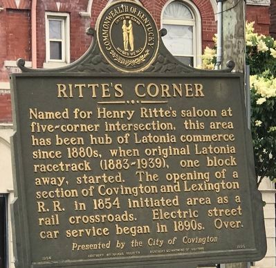
Named for Henry Ritte's saloon at five-corner intersection, this area has been hub of Latonia commerce since 1880s, when original Latonia racetrack (1883-1939), one block away, started. The opening of a section of Covington and Lexington R. R. in 1854 initiated area as a rail crossroads. Electric street car service began in 1890s.
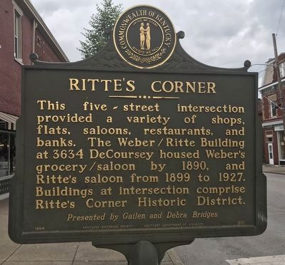
This five-street intersection provided a variety of shops, flats, saloons, restaurants, and banks. The Weber/Ritte Building at 3634 DeCoursey housed Weber's grocery/saloon by 1890, and Ritte's saloon from 1899 to 1927. Buildings at intersection comprise Ritte's Corner Historic District.
Erected 1994 by Kentucky Historical Society and Kentucky Department of Highways. (Marker Number 1939.)
Topics and series. This historical marker is listed in these topic lists: Industry & Commerce • Roads & Vehicles. In addition, it is included in the Kentucky Historical Society series list.
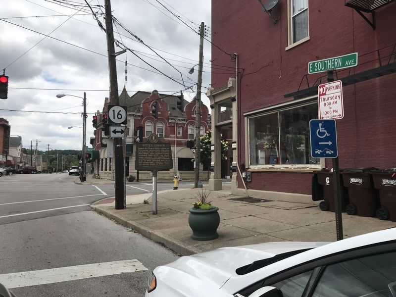
Location. 39° 2.848′ N, 84° 30.183′ W. Marker is in Covington, Kentucky, in Kenton County. Marker is at the intersection of East Southern Avenue and DeCoursey Avenue (Kentucky Route 16), on the right when traveling west on East Southern Avenue. Touch for map. Marker is at or near this postal address: 3634 DeCoursey Avenue, Latonia KY 41015, United States of America. Touch for directions.
Other nearby markers. At least 8 other markers are within 2 miles of this marker, measured as the crow flies. Latonia Race Track (about 500 feet away, measured in a direct line); Holy Cross Parish (about 600 feet away); Holmes High School / Holmesdale Estate (approx. 0.9 miles away); St. John the Baptist Catholic Church (approx. one mile away); Site of Longwood (approx. 1.2 miles away); The Shaw House (approx. 1.2 miles away); Frank L. Michaels House (approx. 1.3 miles away); Michaels House (approx. 1.3 miles away). Touch for a list and map of all markers in Covington.
Also see . . . Asset Detail | Ritte's Corner Historic District. National Register of Historic Places registration form (PDF) and photographs (PDF). (Submitted on June 4, 2021, by Duane and Tracy Marsteller of Murfreesboro, Tennessee.)
Credits. This page was last revised on June 4, 2021. It was originally submitted on June 4, 2021, by Duane and Tracy Marsteller of Murfreesboro, Tennessee. This page has been viewed 544 times since then and 147 times this year. Photos: 1, 2, 3. submitted on June 4, 2021, by Duane and Tracy Marsteller of Murfreesboro, Tennessee.


