Parkers Crossroads in Henderson County, Tennessee — The American South (East South Central)
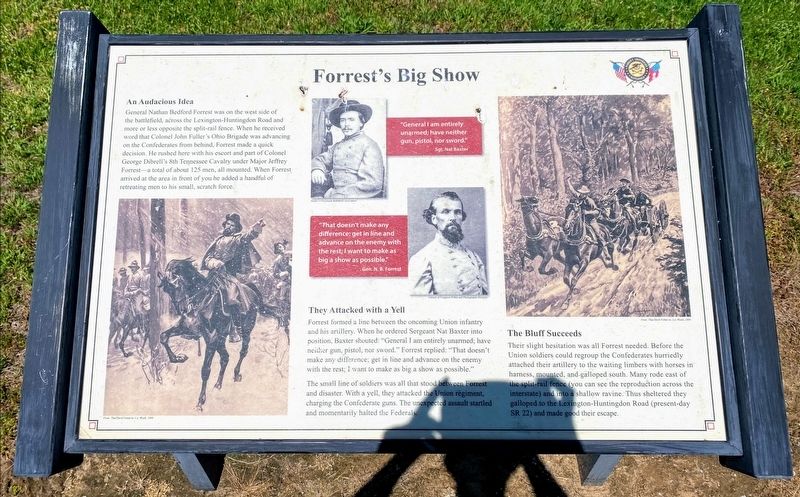
Forrest's Big Show
Sgt. Nat Baxter
"That doesn't make any difference; get in line and advance on the enemy with the rest; I want to make as big a show as possible."
Gen. N. B. Forrest
An Audacious Idea
General Nathan Bedford Forrest was on the west side of the battlefield, across the Lexington-Huntingdon Road and more or less opposite the split-rail fence. When he received word that Colonel John Fuller's Ohio Brigade was advancing on the Confederates from behind, Forrest made a quick decision. He rushed here with his escort and part of Colonel George Dibrell's 8th Tennessee Cavalry under Major Jeffery Forrest—a total of about 125 men, all mounted. When Forrest arrived at the area in front of you he added a handful of retreating men to his small, scratch force.
They Attacked with a Yell
Forrest formed a line between the oncoming Union infantry and his artillery. When he ordered Sergeant Nat Baxter into position, Baxter shouted: "General I am entirely unarmed; have neither gun, pistol, nor sword." Forrest replied: "That doesn't make any difference; get in line and advance on the enemy with the rest; I want to make as big a show as possible."
The small line of soldiers was all that stood between Forrest and disaster. With a yell, they attacked the Union regiment, charging the Confederate guns. The unexpected assault startled and momentarily halted the Federals.
The Bluff Succeeds
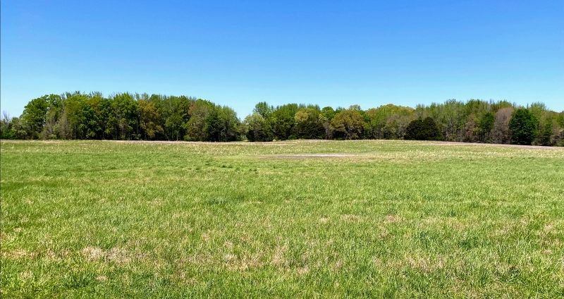
Their slight hesitation was all Forrest needed. Before the Union soldiers could regroup the Confederates hurriedly attached their artillery to the waiting limbers with horses in harness, mounted, and galloped south. Many rode east of the split-rail fence (you can see the reproduction across the interstate) and into a shallow ravine. Thus sheltered they galloped to the Lexington-Huntingdon Road (present-day SR 22) and made good their escape.
Erected 2015 by Parker's Crossroads Battlefield Association.
Topics. This historical marker is listed in this topic list: War, US Civil. A significant historical date for this entry is December 31, 1862.
Location. 35° 47.631′ N, 88° 23.19′ W. Marker is in Parkers Crossroads, Tennessee, in Henderson County. Marker can be reached from Wildersville Road, 0.2 miles Tennessee Route 22, on the left when traveling east. Marker is located along the North Battlefield Trail, at Auto Tour Stop No. 1 of the Parker's Crossroads Battlefield Auto Tour. Touch for map. Marker is in this post office area: Wildersville TN 38388, United States of America. Touch for directions.
Other nearby markers. At least 8 other markers are within walking distance of this marker. A Fire Terrible In Its Intensity (about 300 feet away, measured
in a direct line); Confederate Horseholders (about 400 feet away); Manning the Guns (about 400 feet away); The Battle Begins (about 500 feet away); Civil War Artillery (about 500 feet away); Prelude to Battle/December 31, 1862—the Battle/Union and Confederate Forces (about 500 feet away); Forrest Seizes the Advantage (about 600 feet away); A Panicked Stampede (about 600 feet away). Touch for a list and map of all markers in Parkers Crossroads.
More about this marker. This marker replaces another marker at this location titled "Manning the Guns."
Also see . . . Parker's Crossroads Battlefield Association. (Submitted on June 3, 2021.)
Credits. This page was last revised on June 4, 2021. It was originally submitted on May 29, 2021, by Shane Oliver of Richmond, Virginia. This page has been viewed 117 times since then and 10 times this year. Last updated on June 4, 2021, by David Austin of Scotts Hill, Tennessee. Photos: 1, 2. submitted on May 29, 2021, by Shane Oliver of Richmond, Virginia. • J. Makali Bruton was the editor who published this page.
Editor’s want-list for this marker. Wide shot of marker and its surroundings. • Can you help?

