Joy in Livingston County, Kentucky — The American South (East South Central)
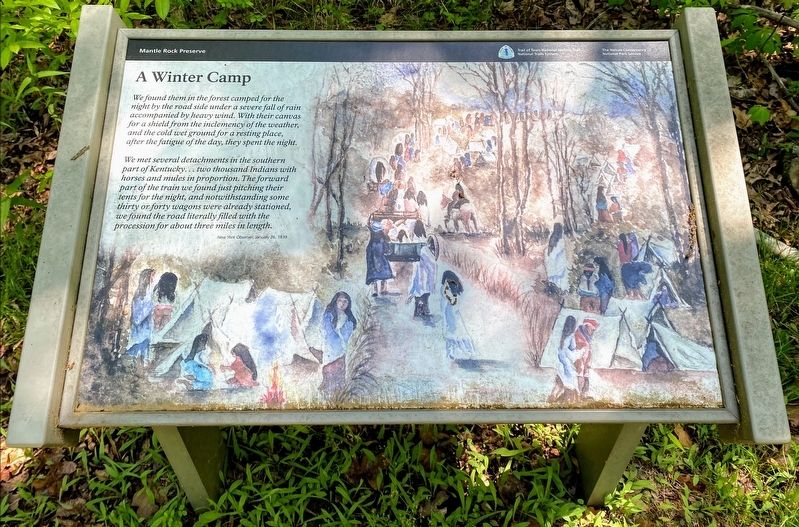
A Winter Camp
Mantle Rock Preserve
— National Park Service, U.S. Department of the Interior —
"We found them in the forest camped for the night by the road side under a severe fall of rain accompanied by heavy wind. With their canvas for a shield from the inclemency of the weather, and the cold wet ground for a resting place, after the fatigue of the day, they spent the night.
We met several detachments in the southern part of Kentucky…two thousand Indians with horses and mules in proportion. The forward part of the train we found just pitching their tents for the night, and notwithstanding some thirty or forty wagons were already stationed, we found the road literally filled with the procession for about three miles in length.
- New York Observer, January 26, 1839
Erected by National Park Service, U.S. Department of the Interior.
Topics and series. This historical marker is listed in these topic lists: Native Americans • Roads & Vehicles. In addition, it is included in the Trail of Tears series list. A significant historical date for this entry is January 26, 1839.
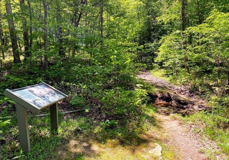
Location. 37° 21.694′ N, 88° 25.839′ W. Marker is in Joy, Kentucky, in Livingston County. Marker can be reached from Lola Road (Kentucky Route 133) 0.3 miles Mantle Rock Road, on the left when traveling north. The marker stands along the 2.75-mile loop trail at the Mantle Rock Nature Preserve. Touch for map. Marker is in this post office area: Smithland KY 42081, United States of America. Touch for directions.
Other nearby markers. At least 8 other markers are within walking distance of this marker. The Original Route (about 600 feet away, measured in a direct line); Witness to History (approx. 0.2 miles away); A Changed Landscape (approx. ¼ mile away); The Real Story of Mantle Rock (approx. 0.4 miles away); Mantle Rock (1/2 Mile) (approx. 0.4 miles away); Protect / Transform / Inspire (approx. half a mile away); McGilligan Creek (approx. half a mile away); They Passed This Way (approx. half a mile away). Touch for a list and map of all markers in Joy.
More about this marker. The Mantle Rock Nature Preserve is owned and operated by The Nature Conservancy, and contains a 2.75-mile walking trail. A portion of the trail follows an old road trace used by the Cherokee during the winter of 1838-1839. The National Park Service helped restore this portion of the trail by erecting interpretive exhibits along the old road trace.
Additional keywords. forced relocation, Trail of Tears
Credits. This page was last revised on June 8, 2021. It was originally submitted on June 4, 2021, by Shane Oliver of Richmond, Virginia. This page has been viewed 201 times since then and 17 times this year. Photos: 1, 2. submitted on June 4, 2021, by Shane Oliver of Richmond, Virginia. • Devry Becker Jones was the editor who published this page.

