North Bethesda in Montgomery County, Maryland — The American Northeast (Mid-Atlantic)
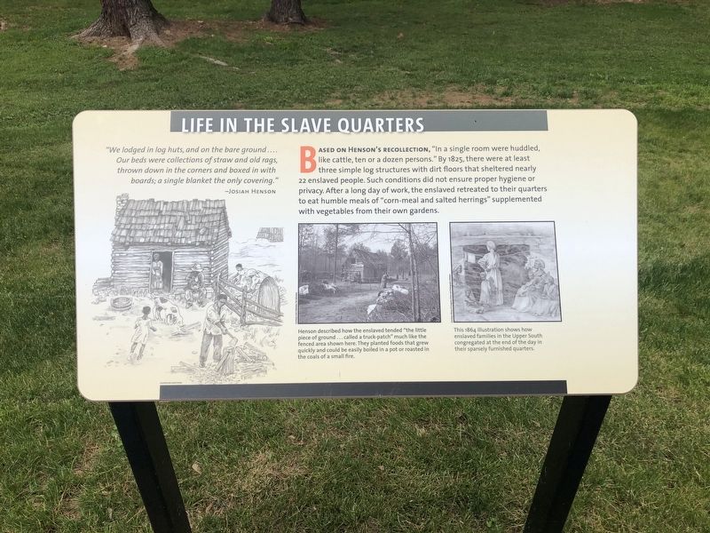
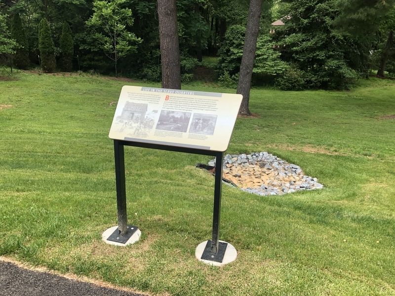
Life in the Slave Quarters
"We lodged in log huts, and on the bare ground .... Our beds were collections of straw and old rags, thrown down in the corners and boxed in the boards; a single blanket the only covering."
—Josiah Henson
Based on Henson's recollection, "in a single room were huddled, like cattle, ten or a dozen persons." By 1825, there were at least three simple log structures with dirt floors that sheltered nearly 22 enslaved people. Such conditions did not ensure proper hygiene or privacy. After a long day of work, the enslaved retreated to their quarters to eat humble meals of "corn-meal and salted herrings" supplemented with vegetables from their own gardens.
[Captions:]
Henson described how the enslaved tended "the little piece of ground…called a truck-patch" much like the fenced area shown here. They planted foods that grew quickly and could be easily boiled in a pot or roasted in the coals of a small fire.
This 1864 illustration shows how enslaved families in the Upper South congregated at the end of the day in their sparsely furnished quarters.
Erected 2021 by Montgomery Parks.
Topics. This historical marker is listed in these topic lists: African Americans • Agriculture. A significant historical year for this entry is 1825.
Location.
Other nearby markers. At least 8 other markers are within walking distance of this marker. Archaeology at Josiah Henson Park (here, next to this marker); Agriculture on the Riley Plantation (a few steps from this marker); The Meathouse: A Food Vault (a few steps from this marker); The Riley Plantation (within shouting distance of this marker); Return to the Riley Farm (within shouting distance of this marker); Josiah Henson (within shouting distance of this marker); A Royal Audience (within shouting distance of this marker); Preserving the Riley-Bolten House (within shouting distance of this marker). Touch for a list and map of all markers in North Bethesda.
Credits. This page was last revised on June 4, 2021. It was originally submitted on June 4, 2021, by Devry Becker Jones of Washington, District of Columbia. This page has been viewed 168 times since then and 9 times this year. Photos: 1, 2. submitted on June 4, 2021, by Devry Becker Jones of Washington, District of Columbia.

