New Braunfels in Comal County, Texas — The American South (West South Central)
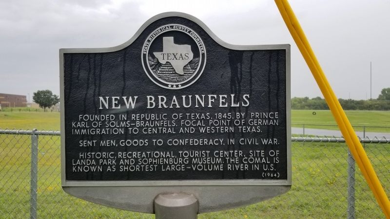
New Braunfels
Founded in Republic of Texas, 1845, by Prince Karl of Solms-Braunfels. Focal point of German immigration to central and western Texas.
Sent men, goods to Confederacy, in Civil War.
Historic, recreational, tourist center. Site of Landa Park and Sophienburg museum. The Comal is known as shortest large-volume river in U.S.
Erected 1964 by State Historical Survey Committee. (Marker Number 3575.)
Topics. This historical marker is listed in these topic lists: Parks & Recreational Areas • Settlements & Settlers • War, US Civil. A significant historical year for this entry is 1845.
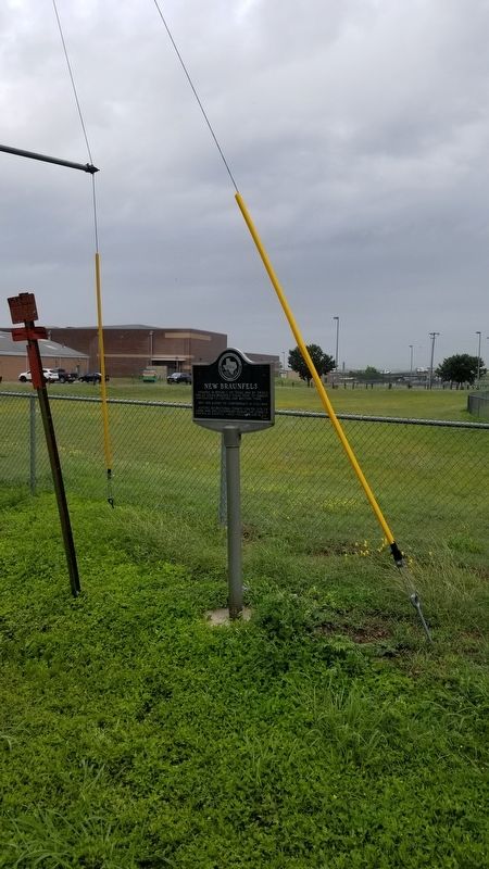
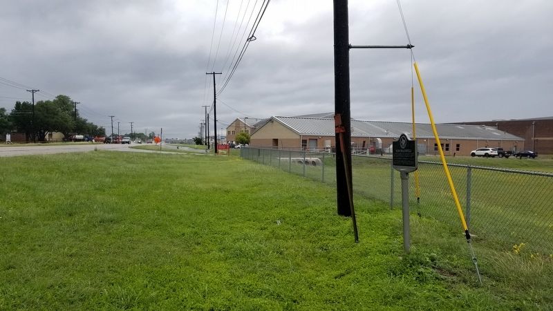
Location. 29° 42.333′ N, 98° 5.683′ W. Marker is in New Braunfels, Texas, in Comal County. Marker is on Business Interstate 35, 0.3 miles north of State Highway 46, on the left when traveling north. The marker is located along the fence near the school running track. Touch for map. Marker is in this post office area: New Braunfels TX 78130, United States of America. Touch for directions.
Other nearby markers. At least 8 other markers are within one mile of this marker, measured as the crow flies. Comal County (about 700 feet away, measured in a direct line); Church Hill School Building (approx. ¼ mile away); Breustedt House (approx. ¼ mile away); Near River Crossing Used by New Braunfels' First Settlers (approx. 0.9 miles away); Faust Street Bridge (approx. one mile away); Notable People & Plots (approx. one mile away); Welcome to the Comal Cemetery (approx. one mile away); Heinrich Mordhorst (approx. one mile away). Touch for a list and map of all markers in New Braunfels.
Also see . . . New Braunfels, Texas at the Handbook of Texas.
New Braunfels, the county seat of Comal County, is at the confluence of the Guadalupe and Comal rivers and the intersection of Interstate Highway 35 and Farm Road 725, thirty miles northeast of San Antonio and forty-five miles southwest of Austin near the southeastern border of the county. It was founded on March 21, 1845, when, under the auspices of the Adelsverein, Nicolaus Zink led a German immigrant wagontrain up the Guadalupe River to the ford of the San Antonio-Nacogdoches road. Source: The Handbook of Texas(Submitted on June 5, 2021, by James Hulse of Medina, Texas.)
Credits. This page was last revised on June 5, 2021. It was originally submitted on June 5, 2021, by James Hulse of Medina, Texas. This page has been viewed 350 times since then and 70 times this year. Photos: 1, 2, 3. submitted on June 5, 2021, by James Hulse of Medina, Texas.


