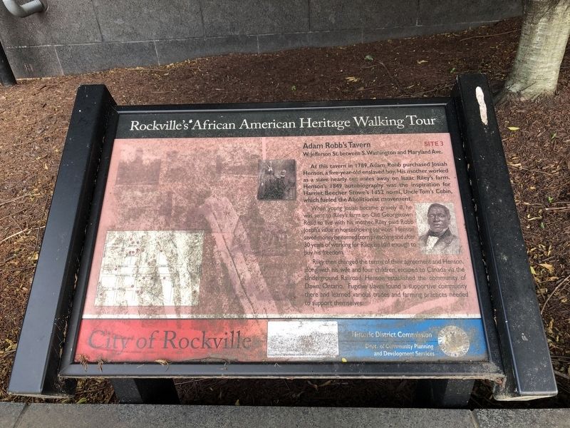
Adam Robb's Tavern
W. Jefferson St. between S. Washington and Maryland Ave.
— Rockville's African American Heritage Walking Tour —
At this tavern in 1789, Adam Robb purchased Josiah Henson, a five-year-old enslaved boy. His mother worked as a slave nearly ten miles away on Isaac Riley's farm. Henson's 1849 autobiography was the inspiration for Harriet Beecher Stowe's 1852 novel, Uncle Tom's Cabin, which fueled the Abolitionist movement.
When young Josiah became gravely ill, he was sent to Riley's farm on Old Georgetown Road to live with his mother. Riley paid Robb Josiah's value in horseshoeing services. Henson saved money he earned from preaching after 30 years of working for Riley, he had enough to buy his freedom.
Riley then changed the terms of their agreement and Henson along with his wife and four children, escaped to Canada via the Underground Railroad. Henson established the community of Dawn, Ontario. Fugitive slaves found a supportive community there and learned various trades and farming practices needed to support themselves.
Erected by City of Rockville, Historic District Commission, Department of Community Planning and Development Services. (Marker Number 3.)
Topics and series. This historical marker is listed in these topic lists: Abolition & Underground RR • African Americans
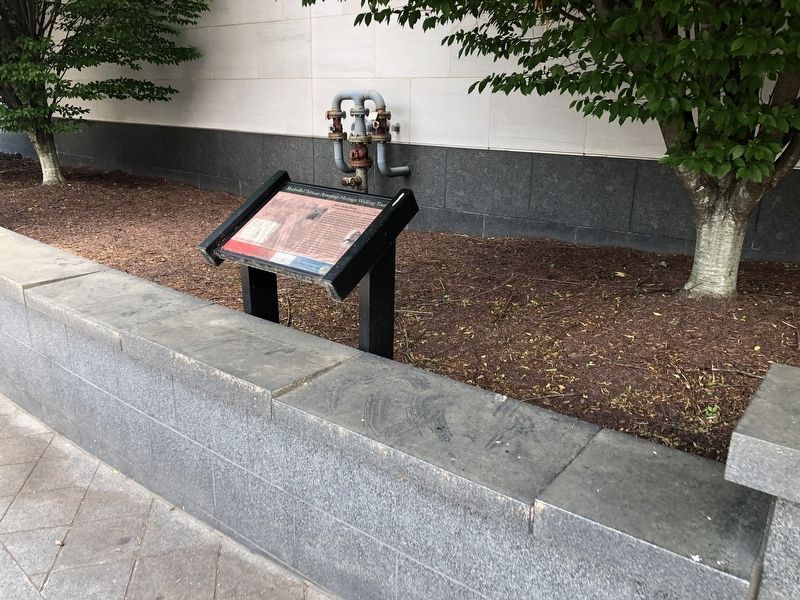
Location. 39° 4.986′ N, 77° 9.137′ W. Marker is in Rockville, Maryland, in Montgomery County. Marker is on East Jefferson Street (Maryland Route 28) east of South Washington Street, on the right when traveling east. Touch for map. Marker is at or near this postal address: 100 S Washington St, Rockville MD 20850, United States of America. Touch for directions.
Other nearby markers. At least 8 other markers are within walking distance of this marker. “Out of Robb’s Window, Montgomery County Court House.” (within shouting distance of this marker); Dr. James Anderson House (within shouting distance of this marker); Hungerford Tavern (within shouting distance of this marker); Richard Montgomery (within shouting distance of this marker); Lamar House (within shouting distance of this marker); Hungerford Tavern / Susan Russell House (within shouting distance of this marker); Rockville (within shouting distance of this marker); a different marker also named Hungerford Tavern (within shouting distance of this marker). Touch for a list and map of all markers in Rockville.
Additional keywords.
Credits. This page was last revised on June 5, 2021. It was originally submitted on June 5, 2021, by Devry Becker Jones of Washington, District of Columbia. This page has been viewed 329 times since then and 39 times this year. Photos: 1, 2. submitted on June 5, 2021, by Devry Becker Jones of Washington, District of Columbia.

