Newport in Campbell County, Kentucky — The American South (East South Central)
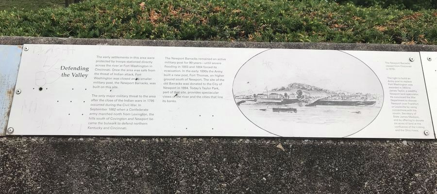
Defending the Valley
Photographed by Duane and Tracy Marsteller, May 30, 2021
1. Defending the Valley Marker
The only major military threat to the area after the close of the Indian wars in 1795 occurred during the Civil War. In September 1862 when a Confederate army marched north from Lexington, the hills south of Covington and Newport became the bulwark to defend northern Kentucky and Cincinnati.
The Newport Barracks remained an active military post for 90 years — until severe flooding in 1883 and 1884 forced its evacuation. In the early 1890s the Army built a new post, Fort Thomas, on higher ground south of Newport. The site of the old Barracks was donated to the City of Newport in 1894. Today's Taylor Park, part of that site, provides spectacular views of the river and the cities that line its banks.
Caption: The Newport Barracks viewed from Cincinnati (c. 1815). The right to build an Army post to replace Fort Washington was awarded in
this page online
Topics. This historical marker is listed in these topic lists: Forts and Castles • Settlements & Settlers • War, US Civil. A significant historical year for this entry is 1803.
Location. 39° 5.542′ N, 84° 30.149′ W. Marker is in Newport, Kentucky, in Campbell County. It can be reached from Riverboat Row, on the right when traveling south. Marker is on the retaining wall surrounding the Taylor Park overlook. Touch for map. Marker is at or near this postal address: 100 Riverboat Row, Newport KY 41071, United States of America. Touch for directions.

Regionally, this marker is in the Outer Bluegrass. It is also in the American South, specifically in the Upper South, and in the Ohio River Valley. Globally, it is in North America, the Western Hemisphere, the Western World, and the Anglosphere. Historically, it finds itself
Photographed by Duane and Tracy Marsteller, May 30, 2021
2. Defending the Valley Marker
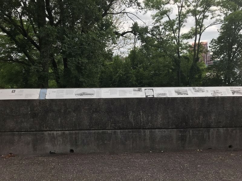
Marker is left-center.
Other nearby markers. At least 8 other markers are within walking distance of this marker: The Civil War in Northern Kentucky (here, next to this marker); Flood Walls (here, next to this marker); Fort Thomas (here, next to this marker); Cincinnati Skyline Pre-1865 (here, next to this marker); A New Perspective: 1865-1900 (here, next to this marker); Skyscrapers and a Stadium: 1900-1972 (a few steps from this marker); Floods and Flood Walls (a few steps from this marker); Newport Barracks (a few steps from this marker). Touch for a list and map of all markers in Newport.
Credits. This page was last revised on June 11, 2021. It was originally submitted on June 6, 2021, by Duane and Tracy Marsteller of Murfreesboro, Tennessee. This page has been viewed 382 times since then and 26 times this year. Photos: 1. submitted on June 6, 2021, by Duane and Tracy Marsteller of Murfreesboro, Tennessee. 2. submitted on June 11, 2021, by Duane and Tracy Marsteller of Murfreesboro, Tennessee.
