Delaware City in New Castle County, Delaware — The American Northeast (Mid-Atlantic)
Power Station
Back-up electric plant for the fort.
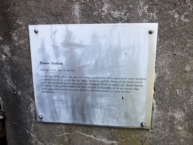
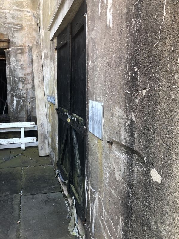
In the late 1890s, when the fort was being modernized, these generators were installed to provide back-up power for the lights, elevators, and the firing of the twelve-inch guns. An electrical service ran under the Delaware River to supply the island directly. However, if the power cables had been severed accidentally, or by an enemy ship, these generators would have provided the necessary power to keep the fort functioning.
Topics. This historical marker is listed in these topic lists: Forts and Castles • Waterways & Vessels.
Location. 39° 35.361′ N, 75° 34.047′ W. Marker is in Delaware City, Delaware, in New Castle County. It can be reached from Park pathway. Touch for map. Marker is in this post office area: Delaware City DE 19706, United States of America. Touch for directions.

Regionally, this marker is in Greater Wilmington and in Greater Philadelphia. It is also in the American Mid-Atlantic, on the Delmarva Peninsula, and on the Eastern Seaboard. Globally, it is in the North Atlantic Region, North America, the Western Hemisphere, the Western World,
this page online
Other nearby markers. At least 8 other markers are within 2 miles of this marker, measured as the crow flies: In Memory of W. Emerson Wilson (within shouting distance of this marker); Sally Port (within shouting distance of this marker); Gun Embrasure (within shouting distance of this marker); Pea Patch Island (approx. 0.3 miles away); Pea Patch Island Heronry (approx. 1.2 miles away in New Jersey); Welcome (approx. 1.2 miles away in New Jersey); Heronry on Pea Patch Island (approx. 1.2 miles away); Coastal Defense Forts (approx. 1.2 miles away). Touch for a list and map of all markers in Delaware City.
Another marker is no longer nearby. Batteries Hentig and Dodd (was about 300 feet away, measured in a direct line but has been confirmed missing).
Credits. This page was last revised on February 3, 2025. It was originally submitted on June 6, 2021, by Devry Becker Jones of Washington, District of Columbia. This page has been viewed 226 times since then and 11 times this year. Photos: 1, 2. submitted on June 6, 2021, by Devry Becker Jones of Washington, District of Columbia.
