Central Oklahoma City in Oklahoma County, Oklahoma — The American South (West South Central)
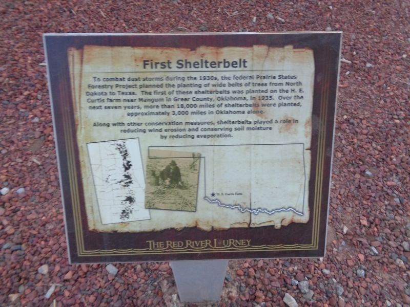
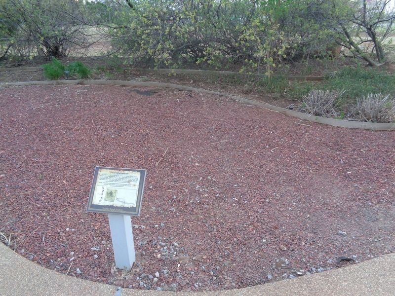
First Shelterbelt
The Red River Journey
Along with other conservation measures, shelterbelts played a role in reducing wind erosion and conserving soil moisture by reducing evaporation.
Topics. This historical marker is listed in these topic lists: Environment • Horticulture & Forestry. A significant historical year for this entry is 1935.
Location. 35° 29.613′ N, 97° 29.954′ W. Marker is in Oklahoma City, Oklahoma, in Oklahoma County. It is in Central Oklahoma City. Marker can be reached from the intersection of Nazih Zuhdi Drive and North Phillips Avenue. Marker is part of the Red River Journey pathway, which is on the grounds of the Oklahoma History Center. Touch for map. Marker is at or near this postal address: 800 Nazih Zuhdi Dr, Oklahoma City OK 73105, United States of America. Touch for directions.
Other nearby markers. At least 8 other markers are within walking distance of this marker. Marcy's Survey of the Red River (here, next to this marker); W.C. Austin Project (here, next to this marker); Devil's Canyon (here, next to this marker); Seal of Oklahoma (a few steps from this marker); 1834 Dragoon Expedition (a few steps from this marker); Oklahoma's Gold Rush (a few steps from this marker); Altus Air Force Base (a few steps from this marker); Old Greer County (a few steps from this marker). Touch for a list and map of all markers in Oklahoma City.
Credits. This page was last revised on February 16, 2023. It was originally submitted on June 7, 2021, by Jason Voigt of Glen Carbon, Illinois. This page has been viewed 174 times since then and 23 times this year. Photos: 1, 2. submitted on June 7, 2021, by Jason Voigt of Glen Carbon, Illinois.

