The Pumphouse
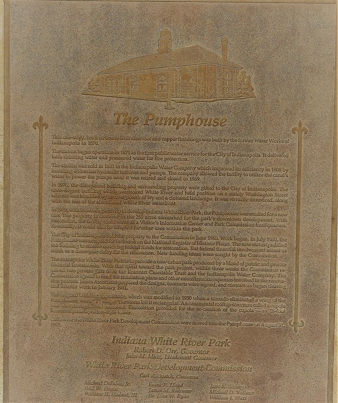
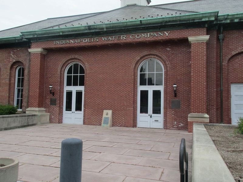
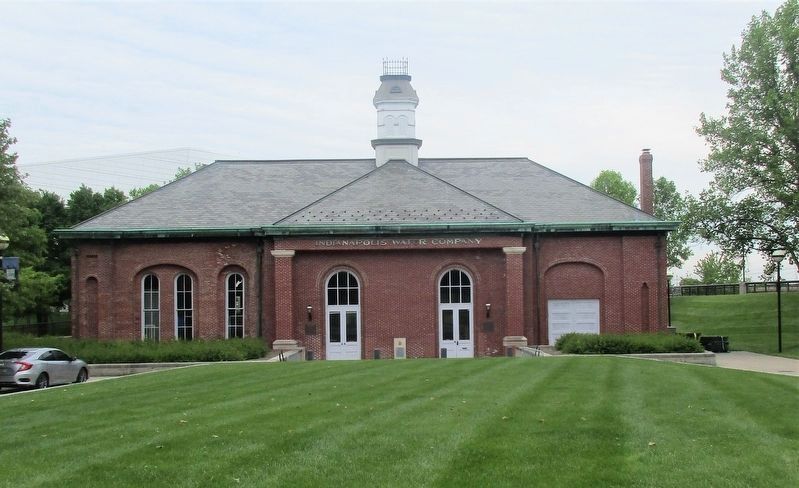
This one story, brick structure with slate roof and copper finishings was built by the former Water Works of Indianapolis in 1870.
The installation began operation in 1871 as the first public water service for the City of Indianapolis. It delivered both drinking water and pressurized water for fire protection.
The station was sold in 1881 to the Indianapolis Water Company which improved its efficiency in 1908 by installing enormous hydraulic turbines and pumps. The company allowed the facility to utilize the canal’s water to power the pumps until it was retired and closed in 1969.
In 1976 the disrepaired building and surrounding property were gifted to the City of Indianapolis. The once-elegent building which overlooked White River and held position on a stately Washington Street address was humbled by the overgrowth of ivy and a cluttered landscape. It was virtually unnoticed, along with the rest of the abandoned White River waterfront.
In 1979 with increasing activity to develop Indiana White River Park, the Pumphouse was studied for a new use. The property is centered on 250 acres earmarked for the park’s downtown development. With restoration, the facility could serve as a Visitors Information Center and Park Commission headquarters. Eventually, it could be also be adapted for other uses within the park.
The
City of Indianapolis. sold the property to the Commission in June 1980. Work began. In July 1980, the Pumphouse was accepted for inclusion on the National Register of Historic Places. The new status qualified the building to receive matching federal funds for restoration. But federal financial involvement meant as much as a three-year delay for the restoration. New funding ideas were sought by the Commission.The concept for White River Park is to provide a new park produced by a blended public and private financial investments. With that spirit toward the park project, within three weeks the Commission received two private gifts from the Krannert Charitable Trust and the Indianapolis Water Company. The Commission agreed to fund the restoration plans and other miscellaneous expenses involved in the renovation process. James Associates prepared the designs, contracts were signed, and the contractors began clearing and interior work in January 1981.
The original building appearance, which was modified in 1930 when a tornado eliminated a wing of the Pumphouse, was a “T” shape. The storm left it a rectangle. An ornamental rooftop structure called a cupola was also damaged and removed. Restoration provided for the re-creation of the cupola- an 18-foot Romanesque style tower.
Offices of the White River Park Development Commission were moved into the Pumphouse on August
31, 1981.Erected 1982 by American Water Works Association State of Indiana.
Topics. This historical marker is listed in these topic lists: Charity & Public Work • Industry & Commerce • Parks & Recreational Areas.
Location. 39° 46.007′ N, 86° 10.33′ W. Marker is in Indianapolis, Indiana, in Marion County. It is in Downtown. Marker can be reached from West Washington Street, 0.3 miles west of North West Street, on the right when traveling west. The marker lies near the bank of the White River. Touch for map. Marker is at or near this postal address: 717 W Washington St, Indianapolis IN 46204, United States of America. Touch for directions.
Other nearby markers. At least 8 other markers are within walking distance of this marker. A different marker also named The Pumphouse (here, next to this marker); McCormick Cabin Site (about 600 feet away, measured in a direct line); Politicians, Poets, and Lion Tamers (about 700 feet away); National Road Legacy Project (approx. 0.2 miles away); Jay County (approx. 0.2 miles away); Vermillion County (approx. 0.2 miles away); Tippecanoe County (approx. 0.2 miles away); Jackson County (approx. 0.2 miles away). Touch for a list and map of all markers in Indianapolis.
Additional keywords. American Water Works Association
Credits. This page was last revised on February 4, 2023. It was originally submitted on June 9, 2021, by Rev. Ronald Irick of West Liberty, Ohio. This page has been viewed 125 times since then and 14 times this year. Photos: 1, 2, 3. submitted on June 9, 2021, by Rev. Ronald Irick of West Liberty, Ohio. • Devry Becker Jones was the editor who published this page.


