Marker Logo HMdb.org THE HISTORICAL
MARKER DATABASE
“Bite-Size Bits of Local, National, and Global History”
Metamora in Franklin County, Indiana — The American Midwest (Great Lakes)
 

Harnessing the Power of Water


Harnessing the Power of Water Marker image. Click for full size.
Photographed By Tom Bosse, May 22, 2021
1. Harnessing the Power of Water Marker
Inscription.
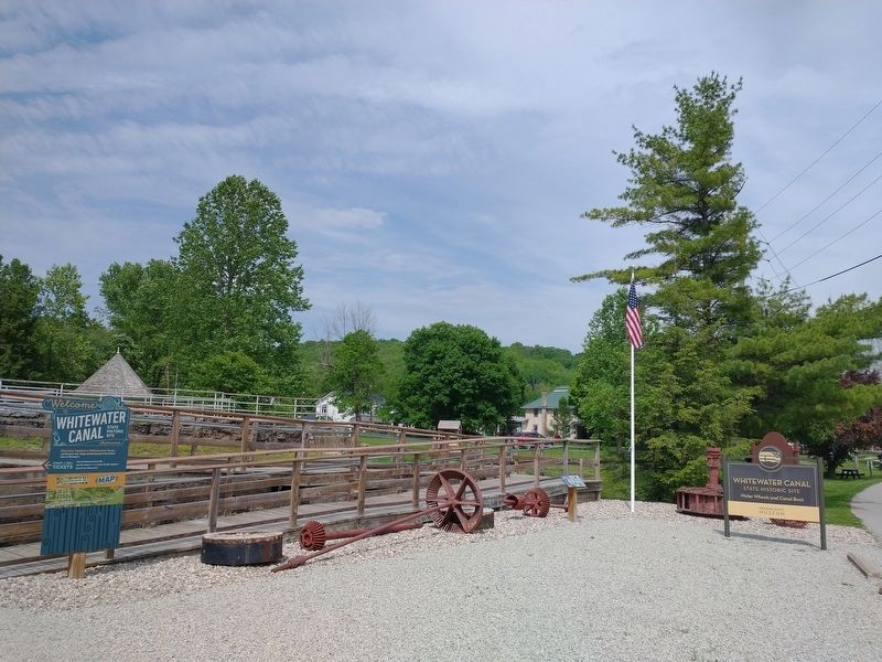
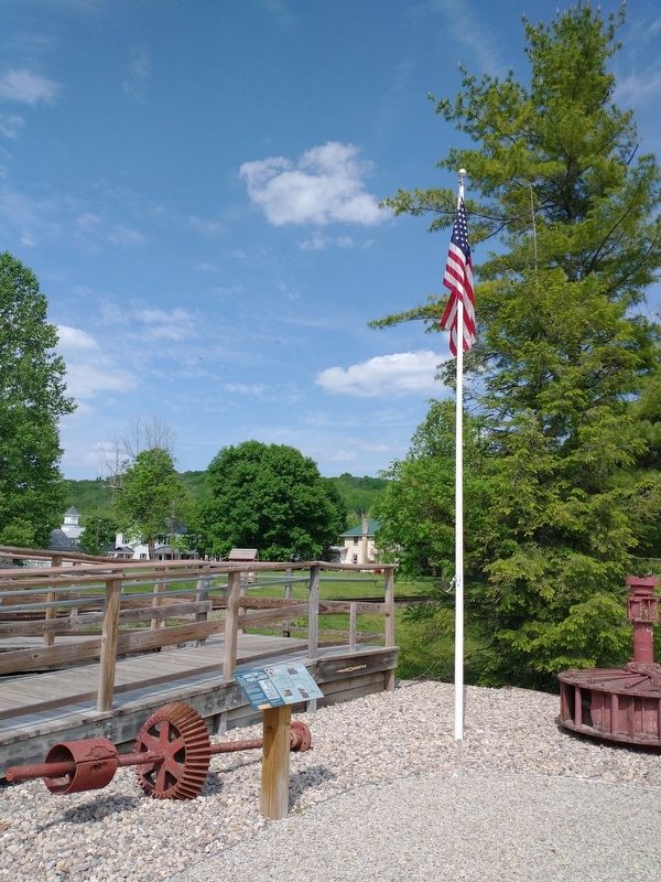
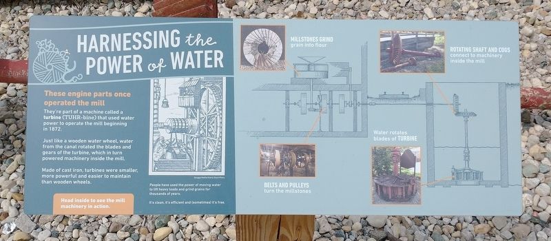
These engine parts once operated the mill

They're part of a machine called a turbine (TUHR-bine) that used water power to operate the mill beginning in 1872.

Just like a wooden water wheel, water from the canal rotated the blades and gears of the turbine, which in turn powered machinery inside the mill.

Made of cast iron, turbines were smaller, more powerful and easier to maintain than wooden wheels.

[Sidebar:]
People have used the power of moving water to lift heavy loads and grind grains for thousands of years.

It's clean, it's efficient and (sometimes) it's free.
 
Topics. This historical marker is listed in these topic lists: Industry & CommerceWaterways & Vessels. A significant historical year for this entry is 1872.
 
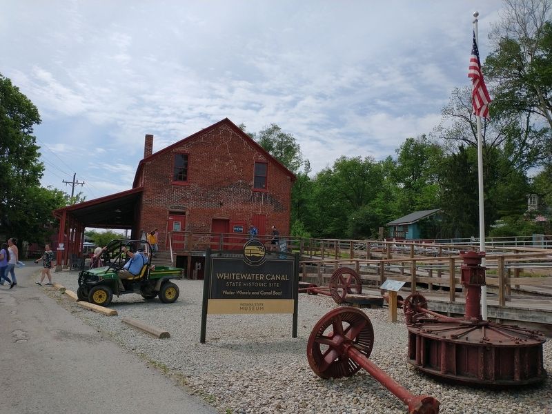
Location. 39° 26.811′ N, 85° 8.168′ W. Marker is in Metamora, Indiana, in Franklin County. Marker is on 75 Main Street, 0.1 miles west of Banes Street, on the right when traveling west. Marker located outside the Whitewater Canal State Historic Site. Touch for map. Marker is at or near this postal address: 19066 75 Main St, Metamora IN 47030, United States of America. Touch for directions.
 
Other nearby markers. At least 8 other markers are within walking distance of this marker. Water Wheel & Lock #25 (a few steps from this marker); Metamora Grist Mill (within shouting distance of this marker); Passenger Pigeon Extinction

Paid Advertisement
Click on the ad for more information.
Please report objectionable advertising to the Editor.
Click or scan to see
this page online
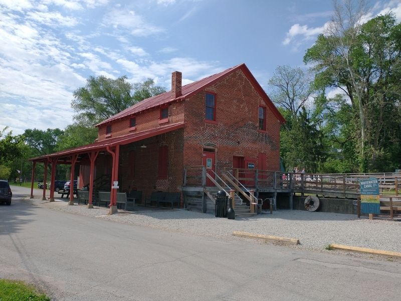
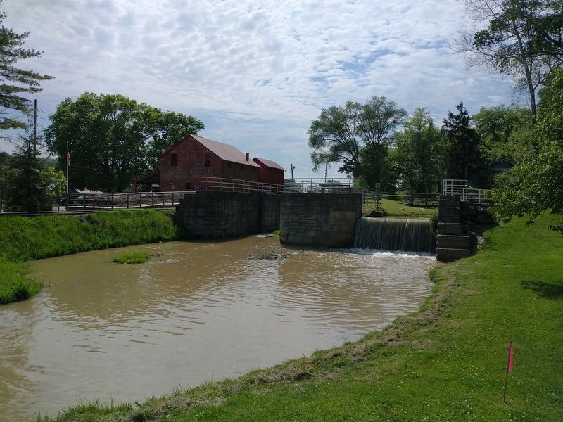
(within shouting distance of this marker); The Carriage House (within shouting distance of this marker); Jonathan Banes House (about 300 feet away, measured in a direct line); Odd Fellows Hall (about 300 feet away); Canal Front Dry Goods Store (about 300 feet away); Building A Hand-Dug Canal Was Hard Work (about 300 feet away). Touch for a list and map of all markers in Metamora.
 
Harnessing the Power of Water Marker image. Click for full size.
Photographed By Tom Bosse, May 22, 2021
2. Harnessing the Power of Water Marker
Harnessing the Power of Water Marker image. Click for full size.
Photographed By Tom Bosse, May 22, 2021
3. Harnessing the Power of Water Marker
Harnessing the Power of Water Marker image. Click for full size.
Photographed By Tom Bosse, May 22, 2021
4. Harnessing the Power of Water Marker
Whitewater Canal Grist Mill image. Click for full size.
Photographed By Tom Bosse, May 22, 2021
5. Whitewater Canal Grist Mill
Whitewater Canal Grist Mill image. Click for full size.
Photographed By Tom Bosse, May 22, 2021
6. Whitewater Canal Grist Mill
 
 
Credits. This page was last revised on June 12, 2021. It was originally submitted on June 10, 2021, by Tom Bosse of Jefferson City, Tennessee. This page has been viewed 99 times since then and 8 times this year. Photos:   1, 2, 3, 4, 5, 6. submitted on June 10, 2021, by Tom Bosse of Jefferson City, Tennessee. • Devry Becker Jones was the editor who published this page.
Share this page.  
Share on Tumblr
m=175024

CeraNet Cloud Computing sponsors the Historical Marker Database.
This website earns income from purchases you make after using our links to Amazon.com. We appreciate your support.
Paid Advertisement
Apr. 16, 2024