Newport in Perry County, Pennsylvania — The American Northeast (Mid-Atlantic)
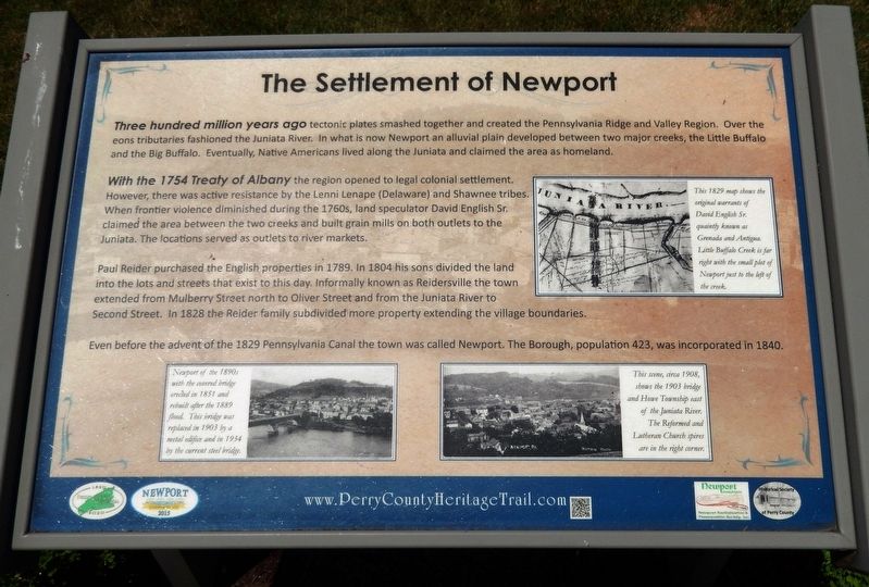
The Settlement of Newport
Perry County Bicentennial
— 1820 - 2020 —
Three hundred million years ago tectonic plates smashed together and created the Pennsylvania Ridge and Valley Region. Over the eons tributaries fashioned the Juniata River. In what is now Newport an alluvial plain developed between two major creeks, the Little Buffalo and the Big Buffalo. Eventually, Native Americans lived along the Juniata and claimed the area as homeland.
With the 1754 Treaty of Albany the region opened to legal colonial settlement. However, there was active resistance by the Lenni Lenape (Delaware) and Shawnee tribes. When frontier violence diminished during the 1760s, land speculator David English Sr. claimed the area between the two creeks and built grain mills on both outlets to the Juniata. The locations served as outlets to river markets.
Paul Reider purchased the English properties in 1789. In 1804 his sons divided the land into the lots and streets that exist to this day. Informally known as Reidersville the town extended from Mulberry Street north to Oliver Street and from the Juniata River to Second Street. In 1828 the Reider family subdivided more property extending the village boundaries.
Even before the advent of the 1829 Pennsylvania Canal the town was called Newport. The Borough, population 423, was incorporated in 1840.
Erected 2020 by Historical Society of Perry County.
Topics and series. This historical marker is listed in these topic lists: Native Americans • Settlements & Settlers • Waterways & Vessels. In addition, it is included in the Perry County Heritage Trail in Pennsylvania. series list. A significant historical year for this entry is 1754.
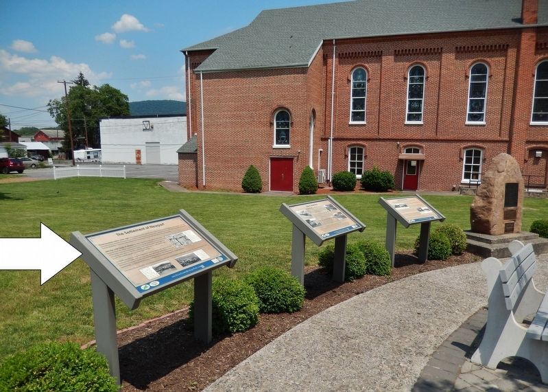
Location. 40° 28.608′ N, 77° 7.966′ W. Marker is in Newport, Pennsylvania, in Perry County. Marker is at the intersection of Market Street (Pennsylvania Route 34) and 4th Street (Pennsylvania Route 849) on Market Street. Marker is located in Newport Heritage Park at the northeast corner of the intersection. Touch for map. Marker is in this post office area: Newport PA 17074, United States of America. Touch for directions.
Other nearby markers. At least 8 other markers are within walking distance of this marker. The Canal Era (here, next to this marker); Newport Historic District (here, next to this marker); The Railroad Era (here, next to this marker); St. Paul’s Lutheran Church (here, next to this marker); Newport Heritage Park (a few steps from this marker); Newport Fugitive Slave Rescue (a few steps from this marker); The Industrial and Manufacturing Era (a few steps from this marker); Floods! (a few steps from this marker). Touch for a list and map of all markers in Newport.
Related markers. Click here for a list of markers that are related to this marker. Newport Heritage Park
Also see . . .
1. History of Newport. Indians were the first inhabitants of this region, settling along the Big Buffalo and Little Buffalo creeks where game and fish were abundant. Tribes included the Delawares, Monseys, Shawnees and, most likely, the Tuscaroras. In 1754, the Indians sold a portion of this land to the English, and it became property of Thomas and John Penn. At this time, the first white settlers began moving in, and by 1758, the Indians were ordered by the English to leave. (Submitted on June 10, 2021, by Cosmos Mariner of Cape Canaveral, Florida.)
2. Newport Historic District. Although its documented history originated with a patent from the Penn family to David English in 1775, English probably had built a mill prior to the patent. Utilizing the water of Little Buffalo Creek for power, English constructed a gristmill circa 1765. Flour and feed moved downstream on flatboats, rafts, and arks to Harrisburg and Baltimore. (Submitted on June 10, 2021, by Cosmos Mariner of Cape Canaveral, Florida.)
Credits. This page was last revised on February 26, 2024. It was originally submitted on June 10, 2021, by Cosmos Mariner of Cape Canaveral, Florida. This page has been viewed 278 times since then and 39 times this year. Photos: 1, 2. submitted on June 10, 2021, by Cosmos Mariner of Cape Canaveral, Florida.

