Weatherford in Parker County, Texas — The American South (West South Central)
Soldier Spring Park
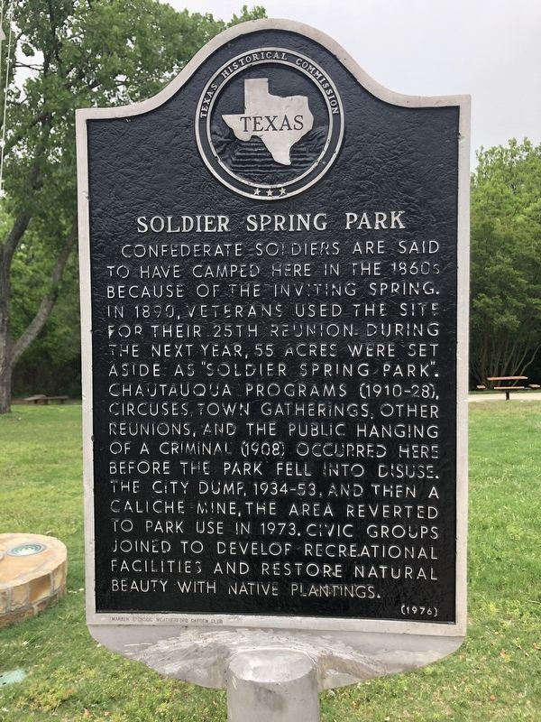
Confederate soldiers are said to have camped here in the 1860s because of the inviting spring. In 1890, veterans used the site for their 25th reunion. During the next year, 55 acres were set aside as "Soldier Spring Park". Chautauqua programs (1910-28), circuses, town gatherings, other reunions, and the public hanging of a criminal (1908) occurred here before the park fell into disuse. The city dump, 1934-53, and then a caliche mine, the area reverted to park use in 1973. Civic groups joined to develop recreational facilities and restore natural beauty with native plantings.
Erected 1976 by Texas Historical Commission. (Marker Number 4975.)
Topics. This historical marker is listed in these topic lists: Parks & Recreational Areas • War, US Civil.
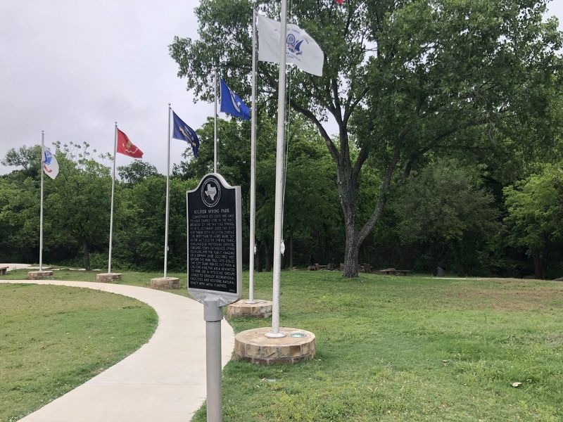
Location. 32° 44.673′ N, 97° 48.529′ W. Marker is in Weatherford, Texas, in Parker County. Marker is on Thrush Street, 0.2 miles north of Mockingbird Lane, on the right when traveling north. Located in Soldier Spring Park. Touch for map. Marker is at or near this postal address: 200 Thrush Street, Weatherford TX 76086, United States of America. Touch for directions.
Other nearby markers. At least 8 other markers are within walking distance of this marker. Parker County Gold Star Family Memorial Monument (within shouting distance of this marker); August 17, 1945 B-29 Crash (approx. ¼ mile away); Grace First Presbyterian Church (approx. 0.3 miles away); Central Christian Church (approx. 0.7 miles away); Chandor Gardens (approx. 0.7 miles away); Governor S.W.T. Lanham (approx. ¾ mile away); Mount Pleasant Colored School (approx. 0.8 miles away); Roy and Jeanne Grogan Historic Plaza (approx. one mile away). Touch for a list and map of all markers in Weatherford.
Also see . . . Soldier Spring Park. City of Weatherford (Submitted on June 11, 2021.)
Credits. This page was last revised on June 11, 2021. It was originally submitted on June 10, 2021, by Ruth VanSteenwyk of Aberdeen, South Dakota. This page has been viewed 349 times since then and 73 times this year. Photos: 1, 2. submitted on June 10, 2021, by Ruth VanSteenwyk of Aberdeen, South Dakota. • Bernard Fisher was the editor who published this page.

