Near Alexandria in Campbell County, Kentucky — The American South (East South Central)
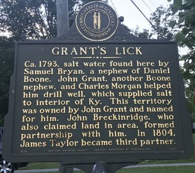
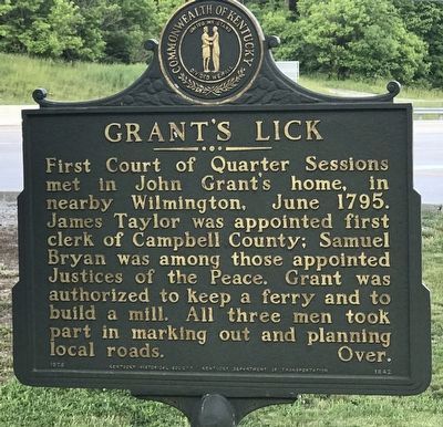
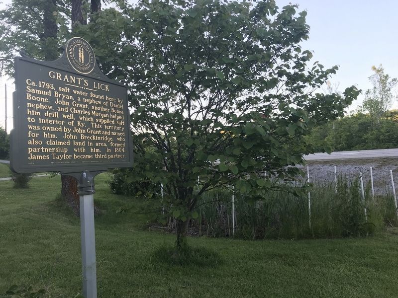
Grant's Lick
First Court of Quarter Sessions met in John Grant's home, in nearby Wilmington, June 1795. James Taylor was appointed first clerk of Campbell County; Samuel Bryan was among those appointed Justices of the Peace. Grant was authorized to keep a ferry and to build a mill. All three men took part in marking out and planning local roads.
Erected 1978 by Kentucky Historical Society and Kentucky Department of Transportation. (Marker Number 1642.)
Topics and series. This historical marker is listed in these topic lists: Industry & Commerce • Settlements & Settlers • Waterways & Vessels. In addition, it is included in the Kentucky Historical Society series list. A significant historical year for this entry is 1793.
Location. 38° 51.857′ N, 84° 23.571′ W. Marker is near Alexandria, Kentucky, in Campbell County. Marker is at the intersection of Alexandria Pike (U.S. 27) and Kenton Station Road (Kentucky Route 1936), on the right when traveling south on Alexandria Pike. Touch for map. Marker is in this post office area: Alexandria KY 41001, United States of America. Touch for directions.
Other nearby markers. At least 8 other markers are within 9 miles of this marker, measured as the crow flies. Mary Boone Bryan (a few steps from this marker); a different marker also named Grants Lick (approx. 0.7 miles away); Kentucky's Nineteenth (approx. 6.6 miles away); British Indian Raid (approx. 7.3 miles away); Capt. Ernest Wagner Park (approx. 8.3 miles away in Ohio); Thomas Ashburn (approx. 8.3 miles away in Ohio); New Richmond Pearl Harbor Memorial (approx. 8.3 miles away in Ohio); The United States Merchant Marine (approx. 8.3 miles away in Ohio). Touch for a list and map of all markers in Alexandria.
Credits. This page was last revised on June 11, 2021. It was originally submitted on June 11, 2021, by Duane and Tracy Marsteller of Murfreesboro, Tennessee. This page has been viewed 462 times since then and 70 times this year. Photos: 1, 2, 3. submitted on June 11, 2021, by Duane and Tracy Marsteller of Murfreesboro, Tennessee.


