Near Eminence in Henry County, Kentucky — The American South (East South Central)
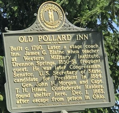
Old Pollard Inn
Gen. John H. Morgan and Capt. T.H. Hines, Confederate Raiders, found shelter here, Dec. 1, 1863, after escape from prison in Ohio.
Erected 1965 by Kentucky Historical Society and Kentucky Department of Highways. (Marker Number 798.)
Topics and series. This historical marker is listed in these topic lists: Industry & Commerce • War, US Civil. In addition, it is included in the John Hunt Morgan Heritage Trail in Kentucky, and the Kentucky Historical Society series lists. A significant historical year for this entry is 1790.
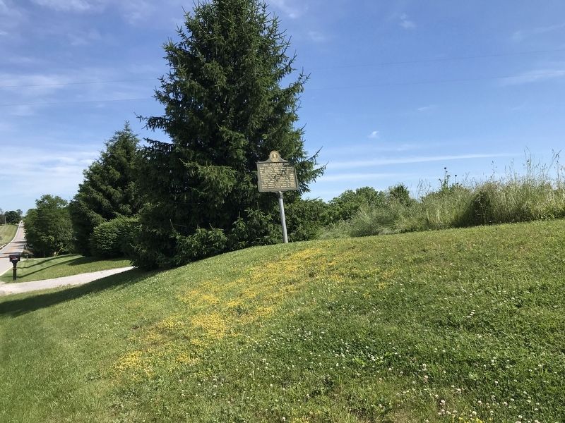
Location. 38° 23.05′ N, 85° 9.076′ W. Marker is near Eminence, Kentucky, in Henry County. Marker is on Castle Highway (U.S. 421), on the right when traveling south. Touch for map. Marker is at or near this postal address: 2313 US-421, Eminence KY 40019, United States of America. Touch for directions.
Other nearby markers. At least 8 other markers are within 10 miles of this marker, measured as the crow flies. Confederate Soldiers Monument (approx. 2.4 miles away); Eminence College Site / Rev. W.S. Giltner (approx. 2˝ miles away); Grand United Order of Odd Fellows (approx. 3˝ miles away); County Named, 1798 (approx. 3.6 miles away); Dutch Colony Here (approx. 3.9 miles away); Drennon Springs (approx. 4 miles away); Civil War Actions (approx. 4 miles away); Brownlea Farms (approx. 9˝ miles away). Touch for a list and map of all markers in Eminence.
Credits. This page was last revised on June 12, 2021. It was originally submitted on June 12, 2021, by Duane and Tracy Marsteller of Murfreesboro, Tennessee. This page has been viewed 471 times since then and 61 times this year. Photos: 1, 2. submitted on June 12, 2021, by Duane and Tracy Marsteller of Murfreesboro, Tennessee.

