Geneva in Sabine County, Texas — The American South (West South Central)
El Lobanillo
Photographed by Cajun Scrambler, June 11, 2021
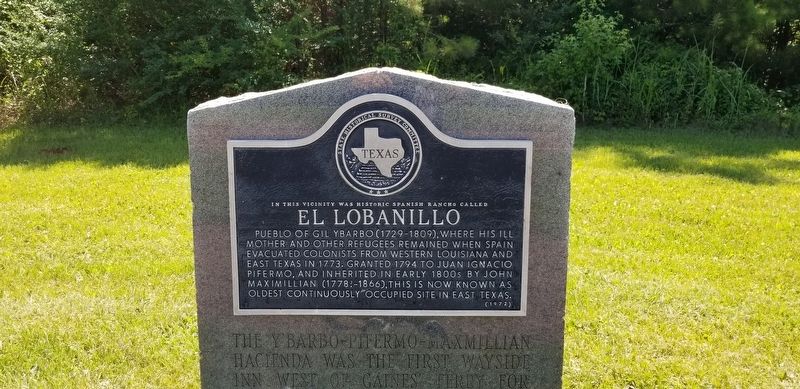
1. El Lobanillo Marker
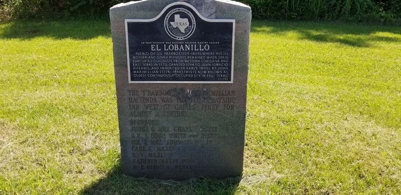
In this vicinity was historic Spanish rancho called El Lobanillo.
Pueblo of Gil Ybarbo (1729-1809), where his ill mother and other refugees remained when Spain evacuated colonists from Western Louisiana and East Texas in 1773. Granted 1794 to Juan Ignacio Pifermo, and inherited in early 1800s by John Maximillian (1778?-1866), this is now known as oldest continuously occupied site in East Texas.
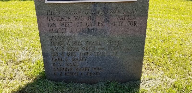
(Incised on marble monument:)
The Y'Barbo Pifermo-Maxmilliam Hacienda was the first wayside inn west of the Gaines Ferry for almost a century.
Sponsors
Judge and Mrs. Charlie Forse
A.V. & Edna White - Historian
Mr. & Mrs. John Starr, Jr.
Carl C. Maxey
R.V. Maxey
Kathryn Maxey Pool
H. & Birdie Pratt
Erected 1972 by State Historical Survey Committee. (Marker Number 11033.)
Topics. This historical marker is listed in these topic lists: Colonial Era • Settlements & Settlers. A significant historical year for this entry is 1773.
Location. 31° 28.556′ N, 93° 55.038′ W. Marker is in Geneva, Texas, in Sabine County. It is on State Highway 21 south of Lee Arnold Road, on the right when traveling east. Touch for map. Marker is in this post
this page online

Regionally, this marker is in the American South, specifically in the Deep South, and in the Piney Woods. Globally, it is in North America, a Gulf of Mexico state, the Western Hemisphere, the Western World, and the Anglosphere. Historically, it finds itself in what was once New Spain, the Republic of Texas, one of the Confederate States of America, and the Antebellum South.
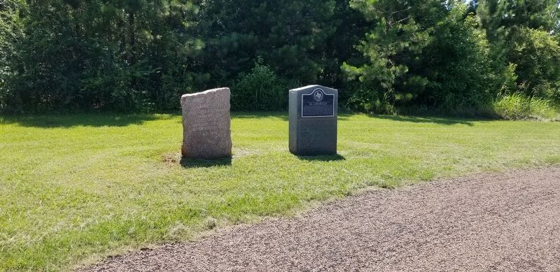
Other nearby markers. At least 8 other markers are within 4 miles of this marker, measured as the crow flies: Kings Highway Camino Real — Old San Antonio Road (here, next to this marker); El Camino Real de los Tejas 1680-1845 (approx. 1.9 miles away); A Snapshot In Time?/¿Una instantánea en el tiempo? (approx. 1.9 miles away); County Line Baptist Church and Cemetery (approx. 2 miles away); McMahan's Chapel (approx. 3.2 miles away); a different marker also named McMahan's Chapel (approx. 3.2 miles away); a different marker also named McMahan's Chapel (approx. 3.2 miles away); Two Miles Southeast to McMahan's Chapel (approx. 3.4 miles away). Touch for a list and map of all markers
Photographed by Cajun Scrambler, June 11, 2021
2. El Lobanillo Marker
Photographed by Cajun Scrambler, June 11, 2021
3. El Lobanillo Marker
Photographed by Cajun Scrambler, June 11, 2021
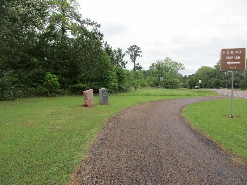
4. El Lobanillo Marker (on the right)
Photographed by Jeff Leichsenring, April 23, 2023
5. El Lobanillo Marker
Credits. This page was last revised on December 2, 2024. It was originally submitted on June 15, 2021, by Cajun Scrambler of Assumption, Louisiana. This page has been viewed 809 times since then and 77 times this year. Photos: 1, 2, 3, 4. submitted on June 15, 2021, by Cajun Scrambler of Assumption, Louisiana. 5. submitted on April 24, 2023, by Jeff Leichsenring of Garland, Texas.
