Milam in Sabine County, Texas — The American South (West South Central)
Las Boregas Camp Site
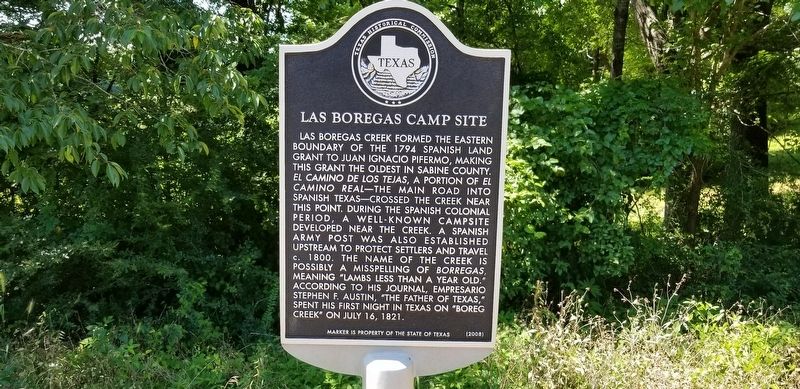
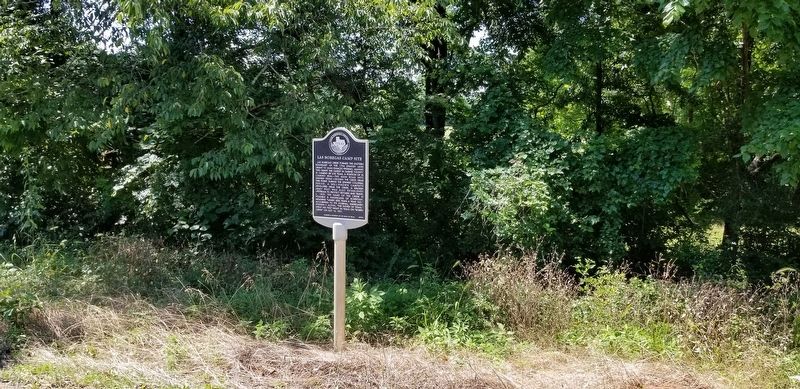
Las Boregas Creek formed the eastern boundary of the 1794 Spanish land grant to Juan Ignacio Pifermo, making this grant the oldest in Sabine County. El Camino de los Tejas, a portion of El Camino Real - the main road into Spanish Texas - crossed the creek near this point. During the Spanish colonial period, a well-known campsite developed near the creek. A Spanish army post was also established upstream to protect settlers and travel c. 1800. The name of the creek is possibly a misspelling of Borregas, meaning "lambs less than a year old." According to his journal, Empresario Stephen F. Austin, the "Father of Texas," spent his first night in Texas on "Boreg Creek" on July 16, 1821.
Marker is the property of the State of Texas
Erected 2008 by Texas Historical Commission. (Marker Number 11039.)
Topics. This historical marker is listed in these topic lists: Colonial Era • Settlements & Settlers • Waterways & Vessels. A significant historical date for this entry is July 16, 1821.
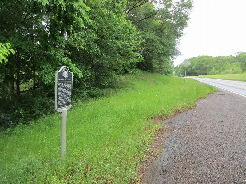
Location. 31° 25.845′ N, 93° 51.324′ W. Marker is in Milam, Texas, in Sabine County. Marker is on Highway 21 west of Vernon State Route South, on the right when traveling west. Touch for map. Marker is in this post office area: Milam TX 75959, United States of America. Touch for directions.
Other nearby markers. At least 8 other markers are within walking distance
Credits. This page was last revised on April 25, 2023. It was originally submitted on June 15, 2021, by Cajun Scrambler of Assumption, Louisiana. This page has been viewed 320 times since then and 36 times this year. Photos: 1, 2. submitted on June 15, 2021, by Cajun Scrambler of Assumption, Louisiana. 3. submitted on April 24, 2023, by Jeff Leichsenring of Garland, Texas.


