Near Lometa in Lampasas County, Texas — The American South (West South Central)
Senterfitt Cemetery
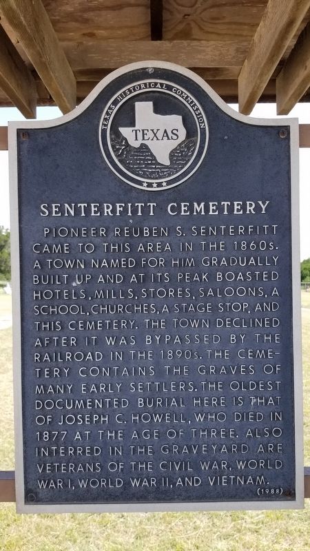
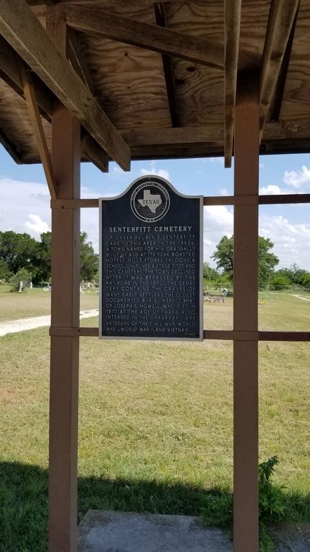
Pioneer Reuben S. Senterfitt came to this area in the 1860s. A town named for him gradually built up and at its peak boasted hotels, mills, stores, saloons, a school, churches, a stage stop, and this cemetery. The town declined after it was bypassed by the railroad in the 1890s. The cemetery contains the graves of many early settlers. The oldest documented burial here is that of Joseph C. Howell, who died in 1877 at the age of three. Also interred in the graveyard are veterans of the Civil War, World War I, World War II, and Vietnam.
Erected 1988 by Texas Historical Commission. (Marker Number 4640.)
Topics. This historical marker is listed in this topic list: Cemeteries & Burial Sites. A significant historical year for this entry is 1877.
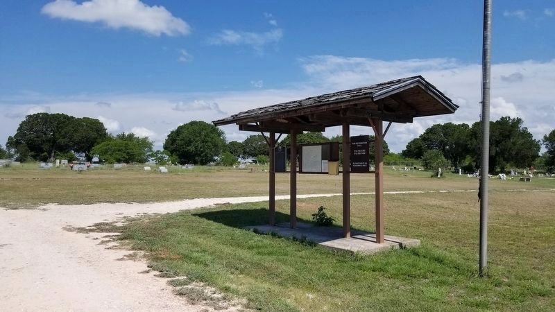
Location. 31° 12.211′ N, 98° 26.605′ W. Marker is near Lometa, Texas, in Lampasas County. Marker can be reached from Farm to Market Road 581, ¼ mile south of County Highway 60. The marker is located near the center section of the cemetery along the main cemetery road. Touch for map. Marker is in this post office area: Lometa TX 76853, United States of America. Touch for directions.
Other nearby markers. At least 8 other markers are within 4 miles of this marker, measured as the crow flies. Site of the Town of Senterfitt (approx. 0.4 miles away); Phantom Hill Road (approx. 1.4 miles away); C.S.A. Salts Works (approx. 2.7 miles away); Site of Lometa Reservoir (approx. 2.7 miles away); Lometa (approx. 3.1 miles away); Scholten Railroad (approx. 3.2 miles away); Veterans of Lampasas County (approx. 3.3 miles away); Operation Long Horn (approx. 3.3 miles away). Touch for a list and map of all markers in Lometa.
Also see . . . Senterfitt, TX.
Senterfitt was on Salt Creek just west of Ranch Road 581 and 3½ miles west of Lometa in western Lampasas County. It was named after Reuben S. Senterfitt, who built a home and established a ranch there in the 1860s. He was a leading citizen of the community and at one time operated a grocery store, mercantile business, livery stable, and hotel in the town. Source: The Handbook of Texas(Submitted on June 17, 2021, by James Hulse of Medina, Texas.)
Credits. This page was last revised on June 17, 2021. It was originally submitted on June 17, 2021, by James Hulse of Medina, Texas. This page has been viewed 308 times since then and 38 times this year. Photos: 1, 2, 3. submitted on June 17, 2021, by James Hulse of Medina, Texas.


