Lometa in Lampasas County, Texas — The American South (West South Central)
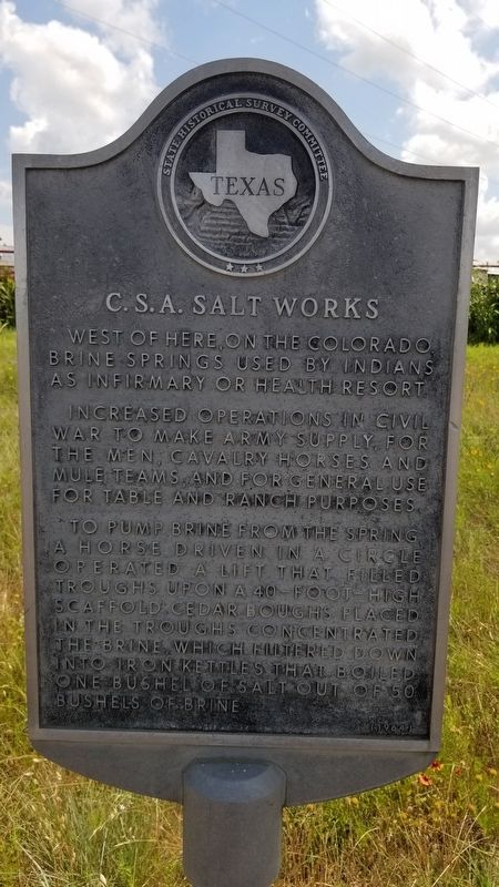
C.S.A. Salts Works
West of here, on the Colorado. Brine Springs used by Indians as infirmary or health resort.
Increased operations in Civil War to make army supply for the men, cavalry horses and mule teams, and for general use for table and ranch purposes.
To pump brine from the spring, a horse driven in a circle operated a lift that filled troughs upon a 40-foot-high scaffold. Cedar boughs placed in the troughs concentrated the brine, which flltered down into iron kettles that boiled one bushel of salt out of 50 bushels of brine.
Erected 1964 by State Historical Survey Committee. (Marker Number 599.)
Topics. This historical marker is listed in these topic lists: Industry & Commerce • Native Americans • War, US Civil.
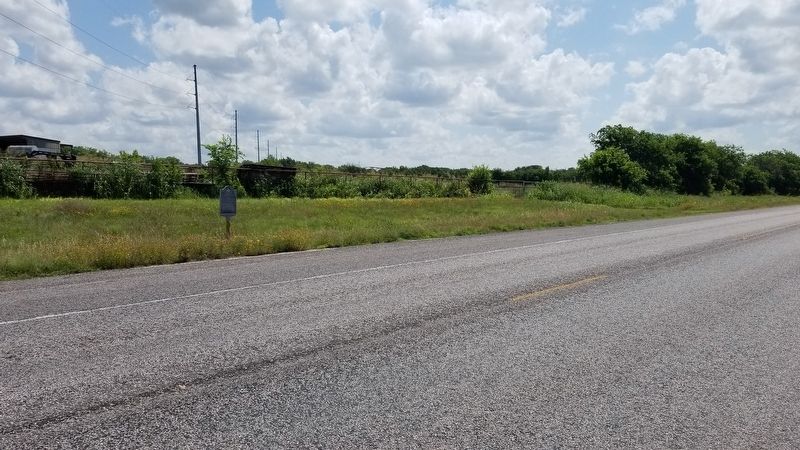
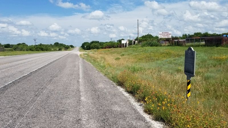
Location. 31° 12.701′ N, 98° 23.952′ W. Marker is in Lometa, Texas, in Lampasas County. Marker is at the intersection of U.S. 190 and Ester Resa Street on U.S. 190. The marker is located east of the intersection near a driveway of a business. Touch for map. Marker is in this post office area: Lometa TX 76853, United States of America. Touch for directions.
Other nearby markers. At least 8 other markers are within 3 miles of this marker, measured as the crow flies. Lometa (approx. half a mile away); Scholten Railroad (approx. 0.6 miles away); Veterans of Lampasas County (approx. 0.8 miles away); Operation Long Horn (approx. 0.9 miles away); Phantom Hill Road (approx. 1.9 miles away); Site of Lometa Reservoir (approx. 2 miles away); Site of the Town of Senterfitt (approx. 2.6 miles away); Senterfitt Cemetery (approx. 2.7 miles away). Touch for a list and map of all markers in Lometa.
Also see . . . Lometa, TX.
A saltworks known as the Swenson Salines was located eight miles from Lometa, near the mouth of Salt Creek on the Colorado River. During the Civil War much of the salt mined for the Confederate Army came from this saltworks, which was abandoned after several postwar attempts at private operation. Source: The Handbook of Texas(Submitted on June 17, 2021, by James Hulse of Medina, Texas.)
Credits. This page was last revised on June 17, 2021. It was originally submitted on June 17, 2021, by James Hulse of Medina, Texas. This page has been viewed 413 times since then and 100 times this year. Photos: 1, 2, 3. submitted on June 17, 2021, by James Hulse of Medina, Texas.


