Near Lometa in Lampasas County, Texas — The American South (West South Central)
Site of Lometa Reservoir
Photographed by James Hulse, June 14, 2021
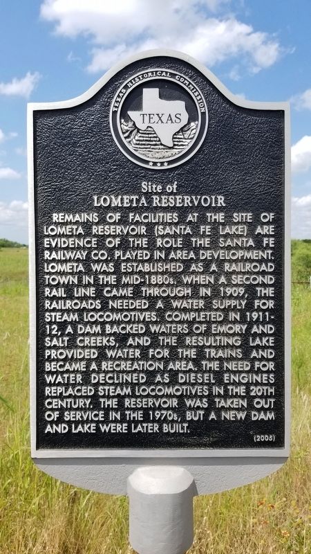
1. Site of Lometa Reservoir Marker
Remains of facilities at the site of Lometa Reservoir (Santa Fe Lake) are evidence of the role the Santa Fe Railway Co. played in area development. Lometa was established as a railroad town in the mid-1880s. When a second rail line came through in 1909, the railroads needed a water supply for steam locomotives. Completed in 1911-12, a dam backed waters of Emory and Salt Creeks, and the resulting lake provided water for the trains and became a recreation area. The need for water declined as diesel engines replaced steam locomotives in the 20th century. The reservoir was taken out of service in the 1970s, but a new dam and lake were later built.
Erected 2005 by Texas Historical Commission. (Marker Number 13200.)
Topics. This historical marker is listed in these topic lists: Railroads & Streetcars • Waterways & Vessels. A significant historical year for this entry is 1909.
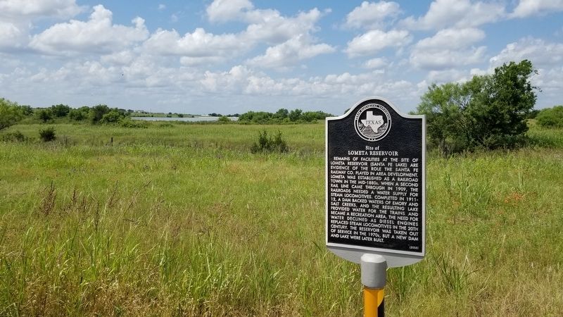
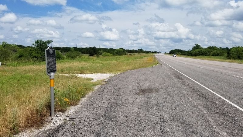
Location. 31° 14.17′ N, 98° 25.041′ W. Marker is near Lometa, Texas, in Lampasas County. It is on U.S. 183 one mile north of County Highway 2509, on the left when traveling north. The marker is located at a closed entrance to the reservoir. Touch for map. Marker is in this post office area: Lometa TX 76853, United States of America. Touch for directions.

Regionally, this marker is in Big Country. Globally, it is in North America, a Gulf of Mexico state, the Western Hemisphere, the Western World, and the Anglosphere. Historically, it finds itself in what was once New Spain, the Republic of Texas, and one of the Confederate States of America.
Other nearby markers. At least 8 other markers are within 3 miles of this marker, measured as the crow flies: Phantom Hill Road (approx. 1.4 miles away); Lometa (approx. 1.9 miles away); C.S.A. Salts Works (approx. 2 miles away); Scholten Railroad (approx. 2.4 miles away); Senterfitt Cemetery
this page online
Photographed by James Hulse, June 14, 2021
2. Site of Lometa Reservoir Marker with new reservoir in background
Photographed by James Hulse, June 14, 2021
3. The view of the Site of Lometa Reservoir Marker from the street
Credits. This page was last revised on June 17, 2021. It was originally submitted on June 17, 2021, by James Hulse of Medina, Texas. This page has been viewed 3,514 times since then and 273 times this year. Photos: 1, 2, 3. submitted on June 17, 2021, by James Hulse of Medina, Texas.
