Micanopy in Alachua County, Florida — The American South (South Atlantic)
Micanopy Historic Cemetery
Photographed by Brandon D Cross, June 16, 2021
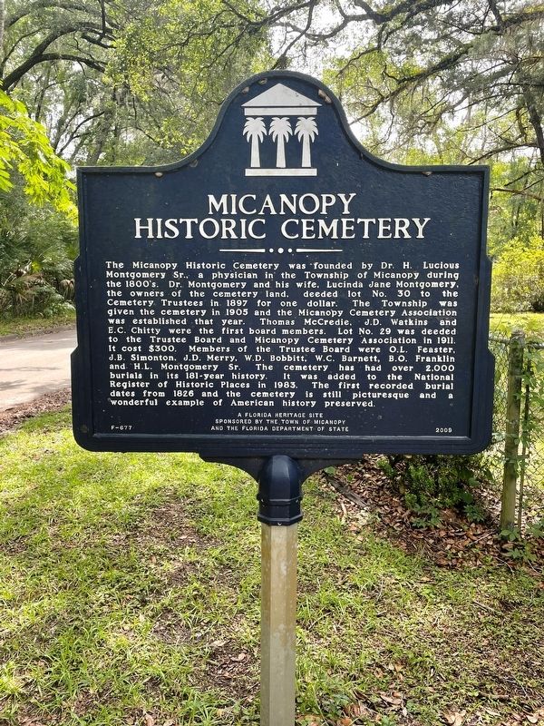
1. Micanopy Historic Cemetery Marker
The Micanopy Historic Cemetery was founded by Dr. H. Lucious Montgomery Sr., a physician in the Township of Micanopy during the 1800’s. Dr. Montgomery and his wife, Lucinda Jane Montgomery, the owners of the cemetery land, deeded lot No. 30 to the Cemetery Trustees in 1897 for one dollar. The Township was given the cemetery in 1905 and the Micanopy Cemetery Association was established that year. Thomas McCredie, J.D. Watkins and E.C. Chitty were the first board members. Lot No. 29 was deeded to the Trustee Board and Micanopy Cemetery Association in 1911. It cost $300. Members of the trustee Board were O.L. Feaster, J.B. Simonton, J.D. Merry, W.D. Bobbitt, W.C. Barnett, B.O. Franklin and H.L. Montgomery Sr. The cemetery has had over 2,000 burials in its 181-year history. It was added to the National Register of Historic Places in 1983. The first recorded burial dates from 1826 and the cemetery is still picturesque and a wonderful example of American history preserved.
Erected 2009 by The Town of Micanopy and the Florida Department of State. (Marker Number F-677.)
Topics. This historical marker is listed in
this page online
Location. 29° 30.188′ N, 82° 17.143′ W. Marker is in Micanopy, Florida, in Alachua County. It is on West Smith Avenue east of NW 5 Street, on the left when traveling west. Touch for map. Marker is at or near this postal address: 401 West Smith Avenue, Micanopy FL 32667, United States of America. Touch for directions.

Regionally, this marker is in North Florida. It is also in the American South. Globally, it is in the North Atlantic Region, North America, a Gulf of Mexico state, the Western Hemisphere, the Western World, and the Anglosphere. Historically, it finds itself in what was once New Spain, the territory of the Mississippian Culture, one of the Confederate States of America, and the Antebellum South.
Other nearby markers. At least 8 other markers are within walking distance of this marker: William Bartram (approx. 0.4 miles away); Steamboat Chacala Anchor (approx. 0.4 miles away); Stagecoach Stop (approx. 0.4 miles away); Micanopy Veterans Memorial (approx. 0.4 miles away); Moses Elias Levy (approx. 0.4 miles away); a different
Photographed by Brandon D Cross, June 16, 2021
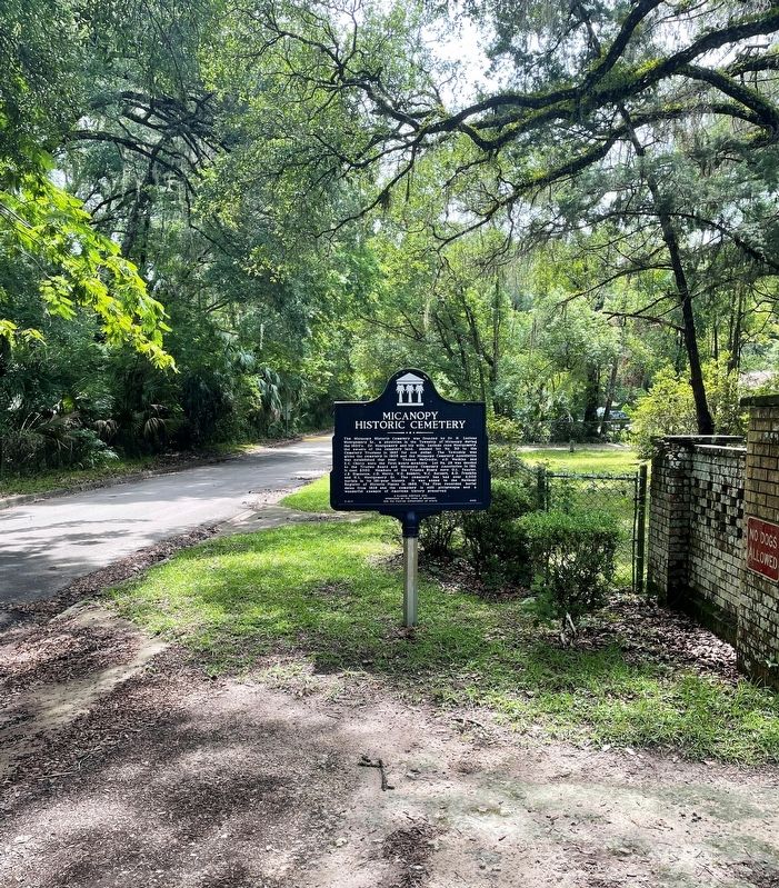
2. Micanopy Historic Cemetery Marker
Another marker is no longer nearby. Micanopy, Florida (was approx. 0.4 miles away but has been reported to have been replaced with another marker now near it).
Photographed by Brandon D Cross, June 16, 2021
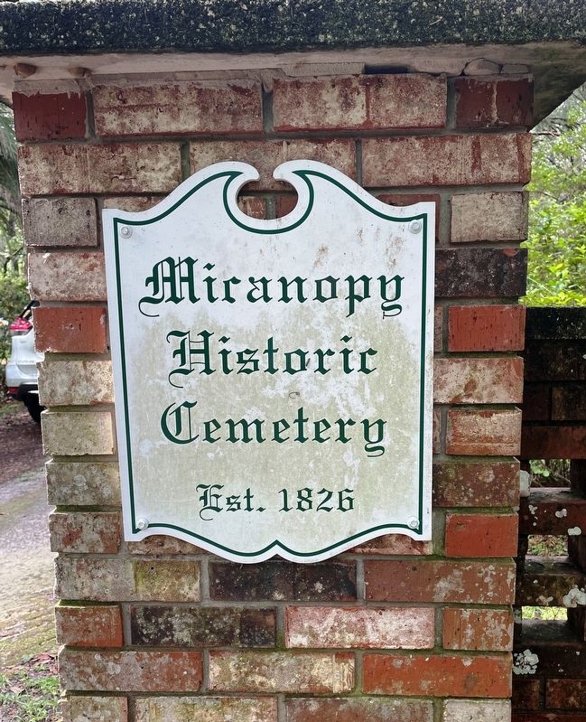
3. Micanopy Historic Cemetery sign
Credits. This page was last revised on November 30, 2021. It was originally submitted on June 18, 2021, by Brandon D Cross of Flagler Beach, Florida. This page has been viewed 1,362 times since then and 98 times this year. Photos: 1, 2, 3. submitted on June 18, 2021, by Brandon D Cross of Flagler Beach, Florida. • Bernard Fisher was the editor who published this page.
