Near Tappen in Kidder County, North Dakota — The American Midwest (Upper Plains)
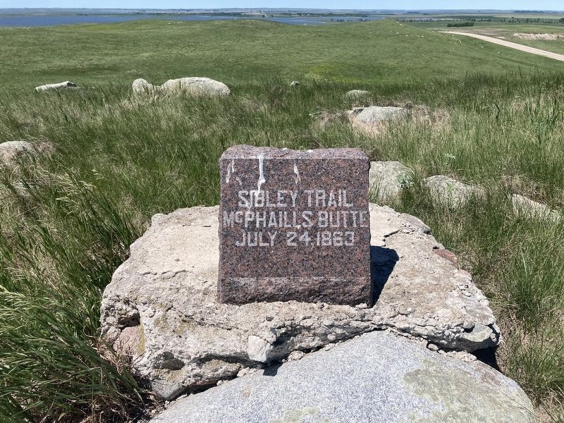
Sibley Trail
McPhaill’s Butte
— July 24, 1863 —
Topics. This memorial is listed in this topic list: Wars, US Indian. A significant historical date for this entry is July 24, 1863.
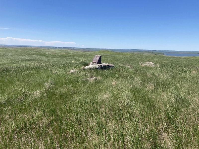
Location. 46° 58.791′ N, 99° 38.504′ W. Marker is near Tappen, North Dakota, in Kidder County. Memorial can be reached from 30th Street Southeast near 39th Avenue Southeast. Marker is on private property, please tread respectfully. Touch for map. Marker is in this post office area: Tappen ND 58487, United States of America. Touch for directions.
Other nearby markers. At least 8 other markers are within 12 miles of this marker, measured as the crow flies. Dr. J.S. Weiser (approx. 3 miles away); Dawson Veterans Memorial Park (approx. 9.3 miles away); Dawson Congregational Church Bell (approx. 9.4 miles away); The National Wildlife Refuge System in North Dakota (approx. 12 miles away); Chase Lake NWR and the American White Pelican (approx. 12.1 miles away); Chase Lake Prairie Project (approx. 12.1 miles away); The Missouri Coteau - North America's Duck Factory. (approx. 12.1 miles away); Welcome to Crystal Springs WPA (approx. 12.1 miles away).
Also see . . . McPhail’s Butte Overlook State Historic Site. (Submitted on June 19, 2021, by Connor Olson of Kewaskum, Wisconsin.)
Credits. This page was last revised on June 20, 2021. It was originally submitted on June 19, 2021, by Connor Olson of Kewaskum, Wisconsin. This page has been viewed 130 times since then and 11 times this year. Photos: 1, 2. submitted on June 19, 2021, by Connor Olson of Kewaskum, Wisconsin. • Mark Hilton was the editor who published this page.

