Near Eastedge in Ransom County, North Dakota — The American Midwest (Upper Plains)
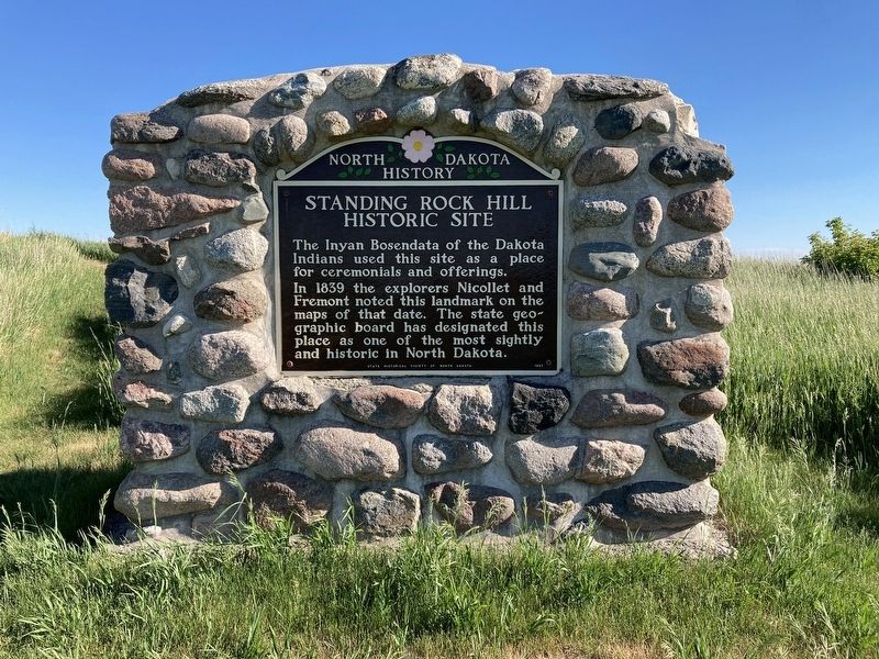
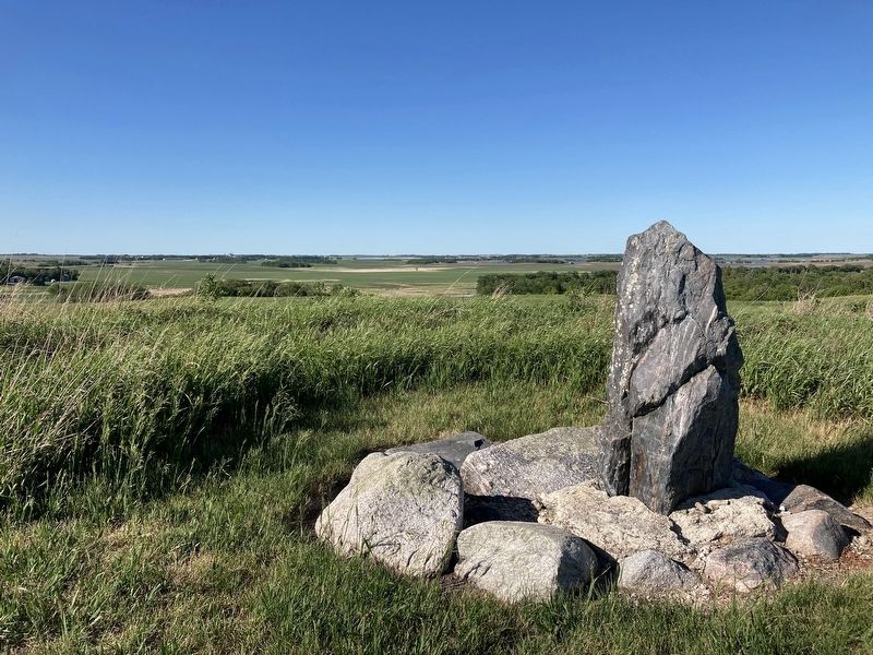
Standing Rock Hill Historic Site
In 1839 the explorers Nicollet and Fremont noted this landmark on the maps of that date. The state geographic board has designated this place as one of the most sightly and historic in North Dakota.
Erected 1957 by State Historical Society of North Dakota.
Topics. This historical marker is listed in these topic lists: Exploration • Native Americans. A significant historical year for this entry is 1839.
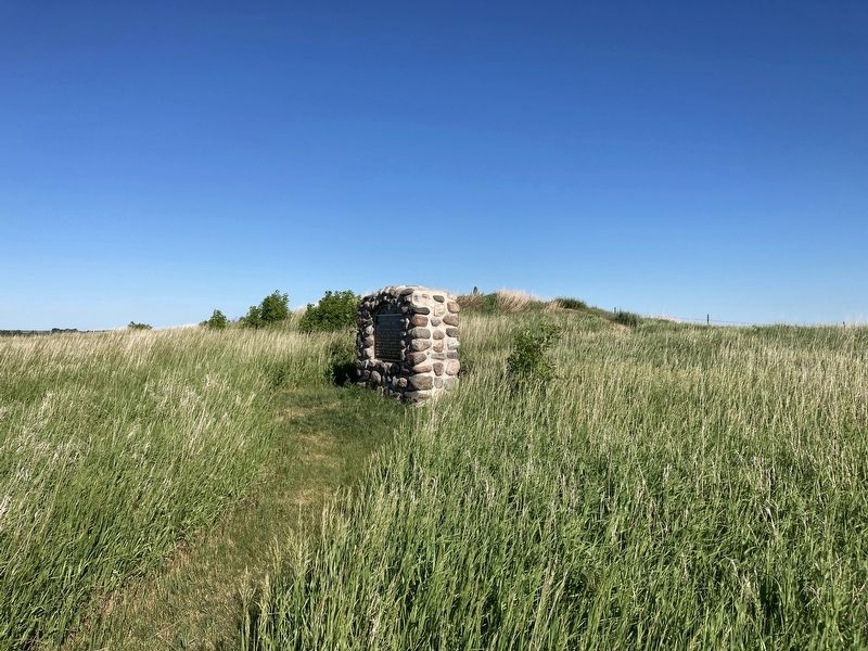
Location. 46° 37.409′ N, 97° 54.517′ W. Marker is near Eastedge, North Dakota, in Ransom County. Marker can be reached from 54th Street Southeast (State Highway 46). Located ˝ mi south of 54th St at the end of a dirt road. Touch for map. Marker is in this post office area: Nome ND 58062, United States of America. Touch for directions.
Other nearby markers. At least 8 other markers are within 5 miles of this marker, measured as the crow flies. Standing Rock / Wonderful Wetlands (a few steps from this marker); Waldheim Church / Ladies Aid Societies (approx. 3.3 miles away); Wadeson Cabin Historic Site (approx. 3.9 miles away); A Tribute to Pioneer Living / Building a Hand-Hewn Cabin (approx. 3.9 miles away); Walker’s Best / Grinding Away (approx. 3.9 miles away); Kathryn / Sentinels of the Prairie (approx. 4.9 miles away); Native Prairies / Ecosystem Under Siege (approx. 4.9 miles away); An Ancient Sea / Glacial Meltwater Trench (approx. 4.9 miles away).
Also see . . . Standing Rock State Historic Site. (Submitted on June 19, 2021, by Connor Olson of Kewaskum, Wisconsin.)
Credits. This page was last revised on June 19, 2021. It was originally submitted on June 19, 2021, by Connor Olson of Kewaskum, Wisconsin. This page has been viewed 339 times since then and 58 times this year. Photos: 1, 2, 3. submitted on June 19, 2021, by Connor Olson of Kewaskum, Wisconsin. • Mark Hilton was the editor who published this page.


