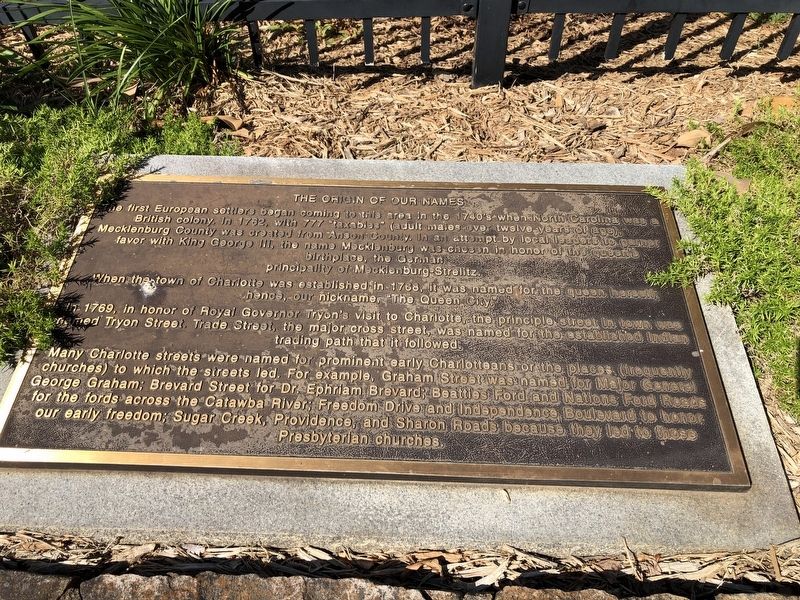
The Origin Of Our Names
The first European settlers began coming to this area in the 1740's when North Carolina was a British colony. In 1762, with 777 "taxables" (adult males over twelve years of age) Mecklenburg County was created from Anson County. In an attempt by local leaders to garner favor with King George III, the name Mecklenburg was chosen in honor of the queen's birthplace, the German principality of Mecklenburg-Strelitz.
When the town of Charlotte was established in 1768, it was named for the queen herself; hence, our nickname, "The Queen City."
In 1769, in honor of Royal Governor Tryon's visit to Charlotte, the principle street in town was named Tryon Street. Trade Street, the major cross street, was named for the established Indian trading path that it followed.
Many Charlotte streets were named for prominent early Charlotteans or the places (frequently churches) to which the streets led. For example, Graham Street was named for Major General George Graham; Brevard Street for Dr. Ephriam Brevard; Beatties Ford and Nations Ford Road for the fords across the Catawba River; Freedom Drive and Independence Boulevard to honor our early freedom; Sugar Creek, Providence, and Sharon Roads because they led to those Presbyterian churches.
Topics. This historical marker is listed in these topic lists: Churches & Religion
Location. 35° 13.756′ N, 80° 50.597′ W. Marker is in Charlotte, North Carolina, in Mecklenburg County. It is in Charlotte center city. Marker is on West 5th Street just west of North Church Street, on the right when traveling west. Touch for map. Marker is at or near this postal address: 200 W Trade St, Charlotte NC 28202, United States of America. Touch for directions.
Other nearby markers. At least 8 other markers are within walking distance of this marker. The Mecklenburg Declaration of Independence (here, next to this marker); Establishing A New Life (here, next to this marker); The Eighteenth Century Piedmont (here, next to this marker); Captain James Jack's Ride (here, next to this marker); The First Carolinians (here, next to this marker); The Battle of Charlotte (here, next to this marker); Hornets' Nest (here, next to this marker); The Importance Of Religion (here, next to this marker). Touch for a list and map of all markers in Charlotte.
Credits. This page was last revised on February 3, 2023. It was originally submitted on June 20, 2021, by Devry Becker Jones of Washington, District of Columbia. This page has been viewed 156 times since then and 19 times this year. Photos: 1, 2. submitted on June 20, 2021, by Devry Becker Jones of Washington, District of Columbia.

