Winter Beach in Indian River County, Florida — The American South (South Atlantic)
Quay Dock Road
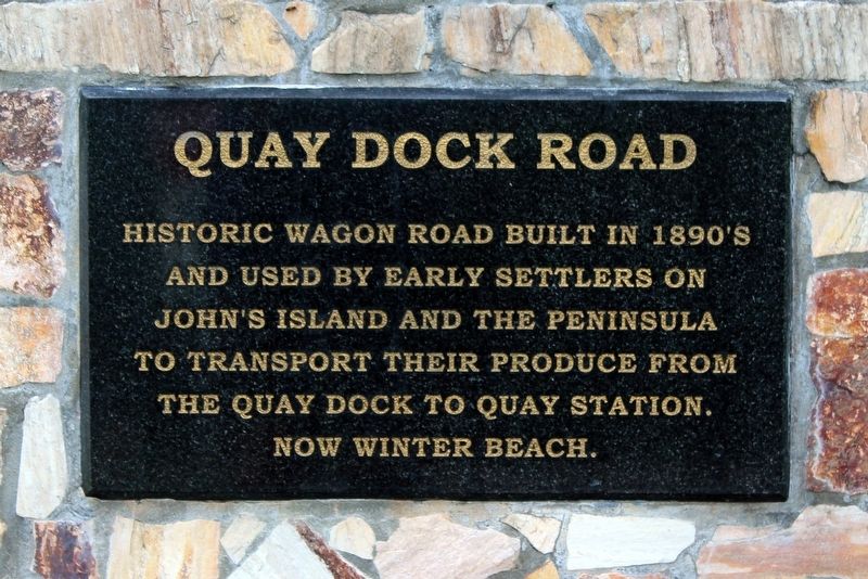
Photographed by Tim Fillmon, June 16, 2021
1. Quay Dock Road Marker
Topics. This historical marker is listed in these topic lists: Roads & Vehicles • Settlements & Settlers. A significant historical year for this entry is 1890.
Location. 27° 42.968′ N, 80° 25.181′ W. Marker is in Winter Beach, Florida, in Indian River County. It is at the intersection of Quay Dock Road and U.S. 1, on the right when traveling east on Quay Dock Road. Marker is located on a small stone monument. Touch for map. Marker is in this post office area: Winter Beach FL 32971, United States of America. Touch for directions.

Regionally, this marker is in the Space Coast. It is also in the American South and on the Eastern Seaboard. Globally, it is in the North Atlantic Region, North America, a Gulf of Mexico state, the Western Hemisphere, the Western World, and the Anglosphere. Historically, it finds itself in what was once New Spain, the territory of the Mississippian Culture, one of the Confederate States of America, and the
this page online
Other nearby markers. At least 8 other markers are within 4 miles of this marker, measured as the crow flies: Winter Beach Pioneer Cemetery (approx. 0.8 miles away); Quay/Winter Beach Bridge Road (approx. 1.8 miles away); A.B. Michael (Wabasso) Bridge (approx. 2.7 miles away); Vero Beach Grounds/Dubose Cemetery (approx. 2.8 miles away); Gifford High School Sundial Landmark (approx. 2.9 miles away); Gifford Community (approx. 3.1 miles away); Allen Chapel African Methodist Episcopal Church (approx. 3.2 miles away); Gifford School / Hosie Shumann Park (approx. 3.7 miles away).
Also see . . . Quay Ghost Town. (Submitted on June 22, 2021, by Tim Fillmon of Webster, Florida.)
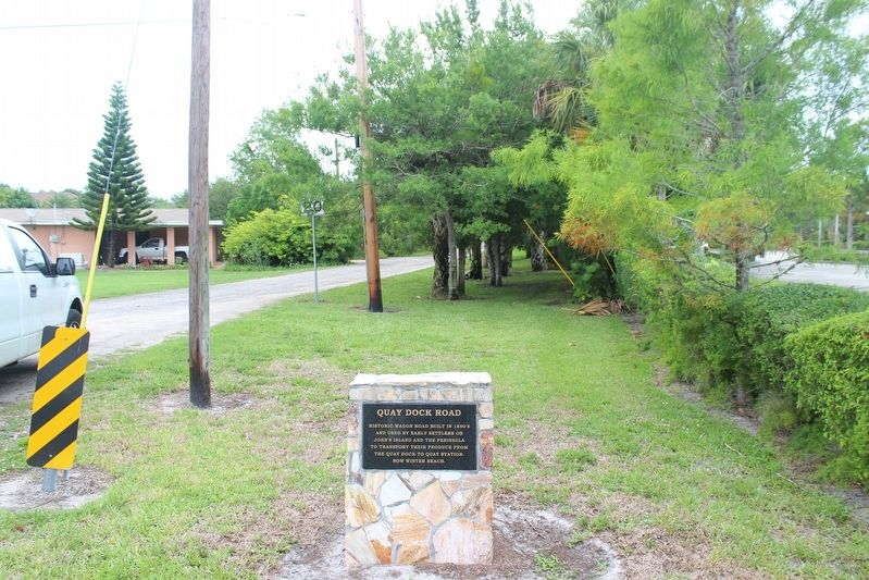
Photographed by Tim Fillmon, June 16, 2021
2. Quay Dock Road Marker
Credits. This page was last revised on June 22, 2021. It was originally submitted on June 22, 2021, by Tim Fillmon of Webster, Florida. This page has been viewed 1,028 times since then and 38 times this year. Photos: 1, 2. submitted on June 22, 2021, by Tim Fillmon of Webster, Florida.
