Badin in Stanly County, North Carolina — The American South (South Atlantic)
The Town of Badin
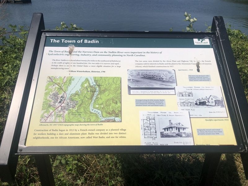
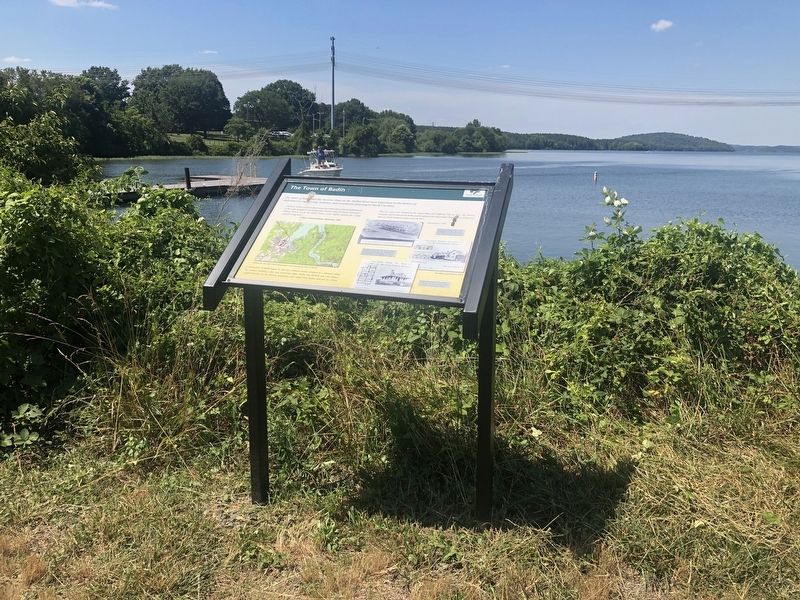
The Town of Badin and the Narrows Dam on the Yadkin River were important in the history of hydroelectric engineering, industry, and community planning in North Carolina.
The River Yadkin is reduced about twenty-five miles to the southwest of [Salisbury], to the width of eighty or one hundred feet. For two miles it is narrow and rapid… Perhaps there is not in the United States a more eligible situation for a large manufacturing town.
— William Winterbotham, Historian, 1796
Construction of Badin began in 1912 by a French-owned company as a planned village for workers building a dam and aluminum plant. Badin was divided into distinct neighborhoods, one for African Americans, now called West Badin, and one for whites.
The two areas were divided by the Alcoa Plant and Highway 740. In 1915, the French company sold its interests in Badin and the plant to the Aluminum Corporation of America (Alcoa), which finished construction in 1917.
[Captions:]
The town was designed with company buildings, houses, and public services like water lines, sewers, and electricity.
Arranged along its hilly streets, Badin features several types of commercial and community buildings, as well as standard house and apartment types.
Originally owned and
rented by Alcoa, the houses have been privately owned since 1930.Erected by Eagle Creek Renewable Energy.
Topics. This historical marker is listed in these topic lists: Industry & Commerce • Settlements & Settlers • Waterways & Vessels. A significant historical year for this entry is 1796.
Location. 35° 24.468′ N, 80° 6.872′ W. Marker is in Badin, North Carolina, in Stanly County. Marker is on State Highway 740, 0.2 miles north of Falls Road (County Road 1719), on the right when traveling north. Touch for map. Marker is at or near this postal address: 293 NC-740, Badin NC 28009, United States of America. Touch for directions.
Other nearby markers. At least 8 other markers are within 15 miles of this marker, measured as the crow flies. L'Aluminium Français (about 500 feet away, measured in a direct line); Hardaway Site (approx. 0.2 miles away); Courthouse Square Park (approx. 6.2 miles away); Randall's United Methodist Church (approx. 9½ miles away); Barringer Mine (approx. 9.7 miles away); Zion United Methodist Church (approx. 10½ miles away); Edmund DeBerry (approx. 11.4 miles away); A.S. McRae Building (approx. 14.7 miles away). Touch for a list and map of all markers in Badin.
Credits. This page was last revised on June 23, 2021. It was originally submitted on June 23, 2021, by Devry Becker Jones of Washington, District of Columbia. This page has been viewed 101 times since then and 13 times this year. Photos: 1, 2. submitted on June 23, 2021, by Devry Becker Jones of Washington, District of Columbia.

