Whitestown in Boone County, Indiana — The American Midwest (Great Lakes)
Albert Smith White

Photographed by Rev. Ronald Irick, June 15, 2021
1. Albert Smith White Marker
Erected 2019 by Whitestown Historic Preservation Committee.
Topics. This historical marker is listed in these topic lists: Abolition & Underground RR • Government & Politics • Patriots & Patriotism • Railroads & Streetcars.
Location. 39° 59.762′ N, 86° 20.75′ W. Marker is in Whitestown, Indiana, in Boone County. It is at the intersection of South Main (County Route 650E) and Linville Avenue, on the right when traveling north on South Main. The marker stands in the Whitestown Rail Trail trailhead park, next to American Legion Post 410. Touch for map. Marker is at or near this postal address: 5 Linville Ave, Whitestown IN 46075, United States of America. Touch for directions.

Regionally, this marker is in Central Indiana and specifically in Greater Indianapolis. It
this page online
Other nearby markers. At least 8 other markers are within 6 miles of this marker, measured as the crow flies: Big Four Trail (a few steps from this marker); Maplelawn Farmstead (approx. 3.8 miles away); Lincoln's Stop in Zionsville, Indiana (approx. 5.4 miles away); Town of Zionsville Founded in 1852 (approx. 5.4 miles away); Michigan Road (approx. 5.4 miles away); Site of the Old Zionsville Inn (approx. 5½ miles away); Patrick H. Sullivan (approx. 5½ miles away); Original Plat Historical Block No. 8 (approx. 5.6 miles away).
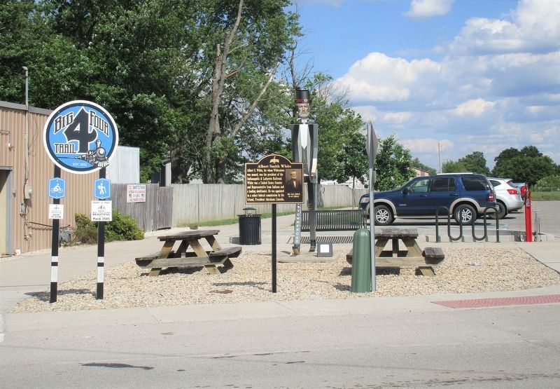
Photographed by Rev. Ronald Irick, June 15, 2021
2. Albert Smith White Marker
Credits. This page was last revised on June 24, 2021. It was originally submitted on June 23, 2021, by Rev. Ronald Irick of West Liberty, Ohio. This page has been viewed 1,282 times since then and 73 times this year. Photos: 1, 2. submitted on June 23, 2021, by Rev. Ronald Irick of West Liberty, Ohio. • Devry Becker Jones was the editor who published this page.
