Sebastian in Indian River County, Florida — The American South (South Atlantic)
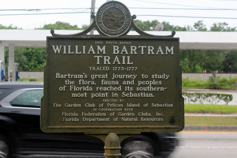
William Bartram Trail
Traced 1773 - 1777
— Deep South Region —
Erected by The Garden Club of Pelican Island of Sebastian In cooperation with Florida Federation of Garden Clubs, Inc. Florida Department of Natural Resources.
Topics and series. This historical marker is listed in these topic lists: Colonial Era • Environment • Exploration • Horticulture & Forestry. In addition, it is included in the William Bartram Trails series list.
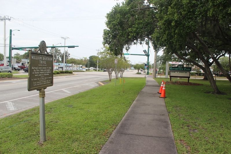
Location. 27° 48.511′ N, 80° 27.951′ W. Marker is in Sebastian, Florida, in Indian River County. Marker is at the intersection of U.S. 1 and Sebastian Boulevard, on the right when traveling north on U.S. 1. Marker is located in Riverview Park. Touch for map. Marker is at or near this postal address: 600 US Highway 1, Sebastian FL 32958, United States of America. Touch for directions.
Other nearby markers. At least 8 other markers are within 3 miles of this marker, measured as the crow flies. War Memorial (approx. 0.3 miles away); Sebastian (approx. 0.6 miles away); Historic Hardee Oak (approx. 0.6 miles away); Archie Smith Wholesale Co., Inc. (approx. 0.7 miles away); Sebastian Veterans Memorial (approx. 1.6 miles away); Park Family Cemetery (approx. 1.6 miles away); Site of Survivors’ and Salvagers’ Camp (approx. 2.6 miles away); Roseland (approx. 2.6 miles away). Touch for a list and map of all markers in Sebastian.
Also see . . . Bartram's Travels. (Submitted on June 23, 2021, by Tim Fillmon of Webster, Florida.)
Credits. This page was last revised on June 23, 2021. It was originally submitted on June 23, 2021, by Tim Fillmon of Webster, Florida. This page has been viewed 272 times since then and 38 times this year. Photos: 1, 2. submitted on June 23, 2021, by Tim Fillmon of Webster, Florida.

