Near Kirkwood in Alpine County, California — The American West (Pacific Coastal)
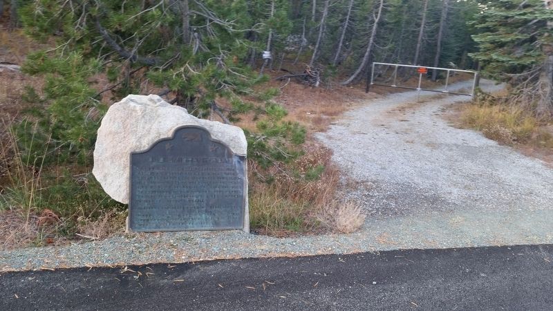
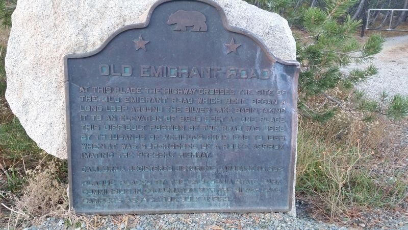
Old Emigrant Road
At this place the highway crosses the site of the old emigrant road which here began a long loop around the Silver Lake basin, taking it to an elevation of 9,640 feet at one place. This difficult portion of the road was used by thousands of vehicles from 1848 to 1863, when it was superseded by a route approximating the present highway.
Erected 1959 by California State Park Commission in cooperation with the Silver Lake Campers Association. (Marker Number 662.)
Topics and series. This historical marker is listed in these topic lists: Roads & Vehicles • Settlements & Settlers. In addition, it is included in the California Historical Landmarks series list. A significant historical year for this entry is 1848.
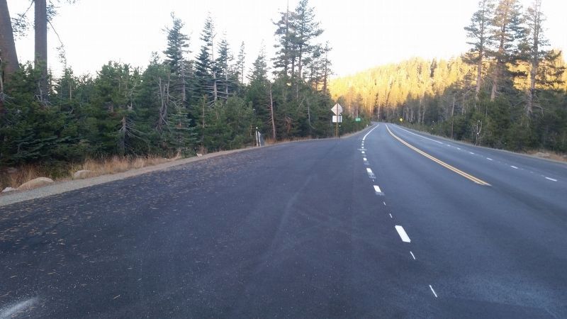
Location. 38° 38.233′ N, 120° 8.55′ W. Marker is near Kirkwood, California, in Alpine County. Marker is at the intersection of Carson Pass Highway (California Route 88) and Mud Flat Road, on the right when traveling east on Carson Pass Highway. The marker is approximately 8.7 miles west of Kirkwood, in Amador County. Touch for map. Marker is in this post office area: Kirkwood CA 95646, United States of America. Touch for directions.
Other nearby markers. At least 8 other markers are within 7 miles of this marker, measured as the crow flies. Tragedy Spring (approx. 0.3 miles away); Mormon-Carson Pass Emigrant Trail (approx. half a mile away); Plasse Resort (approx. 0.9 miles away); Plasse’s Trading Post (approx. 0.9 miles away); Maiden's Grave (approx. 1.6 miles away); Carson Trail - Leek Springs (approx. 5.3 miles away); Kirkwood's (approx. 5.9 miles away); Caples Lake (approx. 6.6 miles away). Touch for a list and map of all markers in Kirkwood.

Photographed By Erik Chriteson, PGP NSGW, October 13, 2017
2. Old Emigrant Road
A short distance away, in Alpine County, is another marker by the same name.
HMBD website entry
Click for more information.
HMBD website entry
Click for more information.
Credits. This page was last revised on June 30, 2021. It was originally submitted on June 24, 2021, by James King of San Miguel, California. This page has been viewed 316 times since then and 37 times this year. Photos: 1, 2, 3. submitted on June 24, 2021, by James King of San Miguel, California. • Syd Whittle was the editor who published this page.

