
Camp Wood in Real County, Texas — The American South (West South Central)
Private Frank Marshall, C.S.A.
Photographed by James Hulse, June 16, 2021
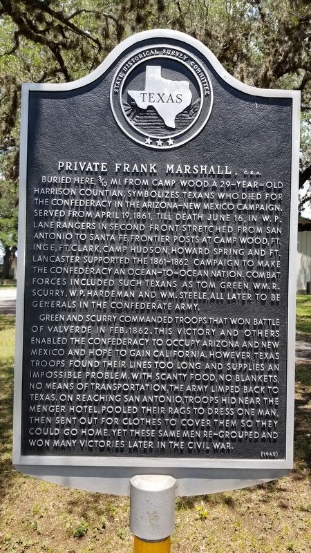
1. Private Frank Marshall, C.S.A. Marker
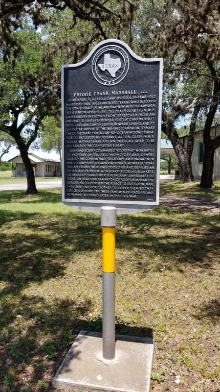
Buried here, 3/10 mi. from Camp Wood. A 29-year-old Harrison Countian, symbolizes Texans who died for the Confederacy in the Arizona-New Mexico campaign. Served from April 19,1861, till death June 16, in W.P. Lane Rangers in second front stretched from San Antonio to Santa Fe. Frontier posts at Camp Wood, Ft. Inge, Ft. Clark, Camp Hudson, Howard Spring and Ft. Lancaster supported the 1861-1862 campaign to make the Confederacy an ocean-to-ocean nation. Combat forces included such Texans as Tom Green, Wm.R. Scurry, W.P. Hardeman and Wm. Steele, all later to be generals in the Confederate Army.
Green and Scurry commanded troops that won battle of Valverde in Feb.1862. This victory and others enabled the Confederacy to occupy Arizona and New Mexico and hope to gain California. However, Texas troops found their lines too long and supplies an impossible problem. With scanty food, no blankets, no means of transportation, the army limped back to Texas. On reaching San Antonio, troops hid near the Menger Hotel, pooled their rags to dress one man, then sent out for clothes to cover them so they could go home. Yet these same men re-grouped and won many victories later in the Civil War.
Erected 1965 by State Historical Survey Committee. (Marker Number 4125.)
Topics. This historical marker is listed in this topic list: War, US Civil. A significant historical date for this entry is April 19, 1861.
Location. 29° 40.484′ N, 100° 0.852′ W. Marker is in Camp Wood, Texas, in Real County. It is on North Nueces Street (State Highway 55) 0.2 miles north of East 7th Street, on the right when traveling north. The marker is located in front of a small church by the highway. Touch for map. Marker is at or near this postal address: 607 North Nueces Street, Camp Wood TX 78833, United States of America. Touch for directions.

Regionally,
this page online
Other nearby markers. At least 8 other markers are within walking distance of this marker: Site of Camp Wood (about 800 feet away, measured in a direct line); Mission San Lorenzo (about 800 feet away); Spreading the Faith (approx. 0.2 miles away); Protecting the Faith (approx. 0.2 miles away); Site of the Mission San Lorenzo De La Santa Cruz (approx. 0.2 miles away); Provisioning the Faith (approx. 0.2 miles away); Resisting the Faith (approx. 0.2 miles away); Charles A. Lindbergh in Texas (approx. ¼ mile away). Touch for a list and map of all markers in Camp Wood.
Also see . . . Battle of Valverde.
In the summer of 1861 Lt. Col. John R. Baylor led a small band of Texans in occupying the Mesilla Valley in southern New Mexico. By December 1861 a much larger 3,000-man Texan Army began to arrive at Franklin (El Paso) and move north(Submitted on June 24, 2021, by James Hulse of Medina, Texas.)to join Baylor. In command of the Confederate Army of New Mexico was Brig. Gen. Henry H. Sibley, a twenty-two year veteran of the antebellum army, who had been stationed in New Mexico prior to the war. Sibley's objective, although never clearly defined, appears to have been Colorado and eventually California, thus making the Confederacy a transcontinental nation more likely to win diplomatic recognition in Europe. Source: The Handbook of TexasPhotographed by James Hulse, June 16, 20212. Private Frank Marshall, C.S.A. Marker
Photographed by James Hulse, June 16, 2021
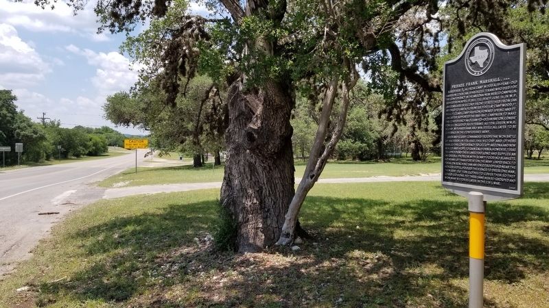
3. The view of the Private Frank Marshall, C.S.A. Marker from the street
Credits. This page was last revised on June 24, 2021. It was originally submitted on June 24, 2021, by James Hulse of Medina, Texas. This page has been viewed 532 times since then and 31 times this year. Photos: 1, 2, 3. submitted on June 24, 2021, by James Hulse of Medina, Texas.
