A Sacred Place
Captain John Smith Chesapeake National Historic Trail
— National Park Service, U.S. Department of the Interior —
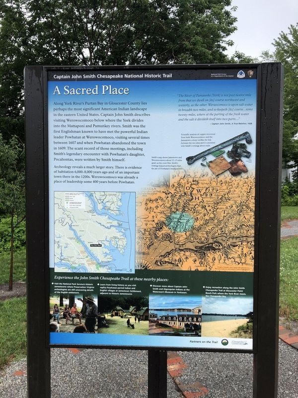
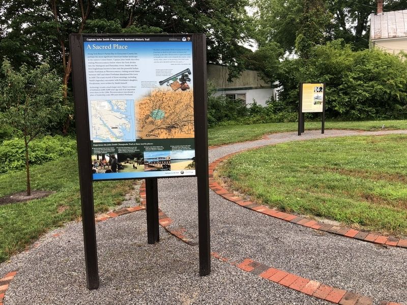
Along York River's Purtan Pay in Gloucester County lies perhaps the most significant American Indian landscape in the eastern United States. Captain John Smith describes visiting Werowocomoco below where the York divides into the Mattaponi and Pamunkey rivers. Smith was the first Englishman known to have met the powerful Indian leader Powhatan at Werowocomoco, visiting several times between 1607 and when Powhatan abandoned the town in 1609. The scant record of those meetings, including Smith's legendary encounter with Powhatan's daughter, Pocahontas, were written by Smith himself.
Archaeology reveals a much larger story. There is evidence of habitation 6,000-8,000 years ago and of an important town there in the 1200s. Werowocomoco was already a place of leadership some 400 years before Powhatan.
"The River of Pamaunke [York] is not past twelve mile from that we dwell on [its] course northwest and westerly, as the other. Weraocomoco is upon salt water in breadth two miles, and so keepeth [its] course…some twenty miles, where at the parting of the fresh water and the salt it divideth itself into two parts...."
—Captain John Smith, A True Relation, 1608
[Captions:]
Scientific analysis of copper recovered from both WErowocomoco and the Jamestown colony verifies the link between the two sites and is consistent with Smith's writings about trade.
Smith's map shows Jamestown and Werowocomoco about 12-15 miles apart, as the crow flies. Smith's writings helped archaeologists find the site of Powhatan's headquarters.
Erected by National Park Service, U.S. Department of the Interior.
Topics and series. This historical marker is listed in these topic lists: Colonial Era • Exploration • Native Americans • Settlements & Settlers. In addition, it is included in the Captain John Smith Chesapeake National Historic Trail series list. A significant historical year for this entry is 1607.
Location. 37° 24.922′ N, 76° 31.76′ W. Marker is in Gloucester, Virginia, in Gloucester County. Marker is on Main Street (Business U.S. 17) just west of John Lemon Lane, on the right when traveling west. Touch for map. Marker is at or near this postal address: 6523 Main Street, Gloucester VA 23061, United States of America. Touch for directions.
Other nearby markers. At least 8 other markers are within walking distance of this marker. The Daffodil Industry (a few steps from this marker); Gloucester Continues to Celebrate the Daffodil (a few steps from this marker); Daffodils Arrived Here With the Colonists (a few steps from this marker); The Birdsall Building (a few steps from this marker);


Credits. This page was last revised on June 28, 2021. It was originally submitted on June 27, 2021, by Devry Becker Jones of Washington, District of Columbia. This page has been viewed 158 times since then and 14 times this year. Photos: 1, 2, 3, 4. submitted on June 27, 2021, by Devry Becker Jones of Washington, District of Columbia.

