Deltaville in Middlesex County, Virginia — The American South (Mid-Atlantic)
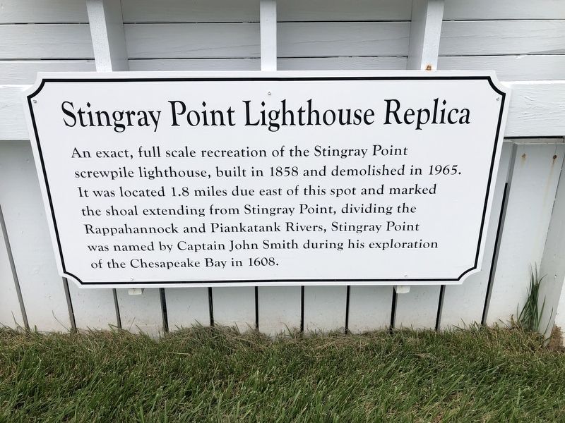
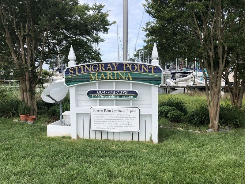
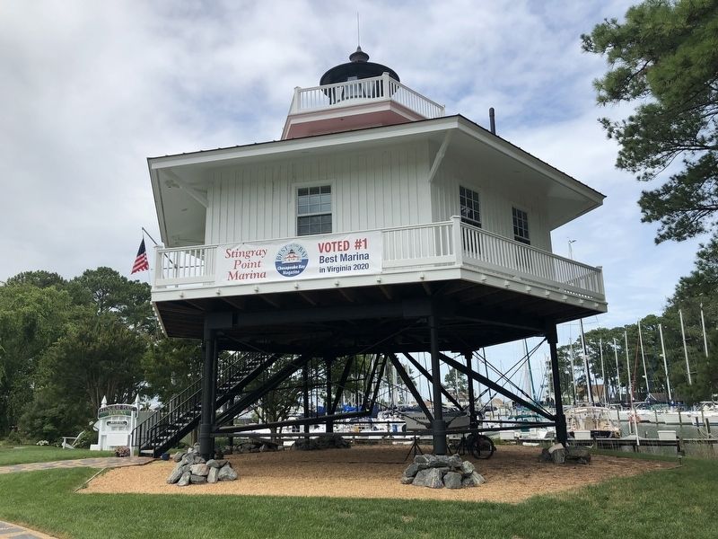
Stingray Point Lighthouse Replica
Erected by Stingray Point Marina.
Topics and series. This historical marker is listed in these topic lists: Colonial Era • Communications • Exploration • Waterways & Vessels. In addition, it is included in the Lighthouses series list. A significant historical year for this entry is 1858.
Location. 37° 33.636′ N, 76° 18.432′ W. Marker is in Deltaville, Virginia, in Middlesex County. Marker can be reached from the intersection of General Puller Highway (Virginia Route 33/662) and Gillim Road (Virginia Route 654), on the right when traveling west. Touch for map. Marker is at or near this postal address: 961 Timberneck Rd, Deltaville VA 23043, United States of America. Touch for directions.
Other nearby markers. At least 8 other markers are within 2 miles of this marker, measured as the crow flies. The F.D. Crockett (approx. one mile away); Oyster Tonging (approx. one mile away); Fish Story (approx. 1.1 miles away); Ruark Sculpture Garden (approx. 1.1 miles away); Compass Rose (approx. 1.1 miles away); Flagpole and Flag Etiquette (approx. 1.1 miles away); Captain John Smith’s Shallop (approx. 1.1 miles away); Confederate Boarding Cutter (approx. 1.1 miles away). Touch for a list and map of all markers in Deltaville.
Credits. This page was last revised on June 27, 2021. It was originally submitted on June 27, 2021, by Devry Becker Jones of Washington, District of Columbia. This page has been viewed 199 times since then and 22 times this year. Photos: 1, 2, 3. submitted on June 27, 2021, by Devry Becker Jones of Washington, District of Columbia.


