Chatsworth in Burlington County, New Jersey — The American Northeast (Mid-Atlantic)
The White Horse Inn
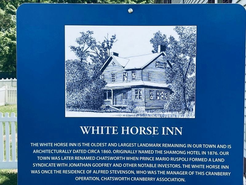
Photographed by Thomas Anderson, June 17, 2021
1. The White Horse Inn Marker
Topics. This historical marker is listed in these topic lists: Agriculture • Industry & Commerce.
Location. 39° 49.11′ N, 74° 32.125′ W. Marker is in Chatsworth, New Jersey, in Burlington County. It is at the intersection of Main Street (New Jersey Route 532) and Railroad Avenue, on the right when traveling north on Main Street. Touch for map. Marker is in this post office area: Chatsworth NJ 08019, United States of America. Touch for directions.

Regionally, this marker is in South Jersey, in the Pine Barrens, and in Greater Philadelphia. It is also in the American Northeast, in the Mid-Atlantic, and on the Eastern Seaboard. Globally,
this page online
Other nearby markers. At least 8 other markers are within 7 miles of this marker, measured as the crow flies: Central Railroad of New Jersey (within shouting distance of this marker); Chatsworth Honor Roll (approx. ¼ mile away); Speedwell (approx. 3.8 miles away); Cemetery (approx. 4.1 miles away); A Limited Resource (approx. 4.3 miles away); Carranza Memorial (approx. 5.9 miles away); Monument (approx. 5.9 miles away); The Cultivated Blueberry Industry (approx. 6.1 miles away). Touch for a list and map of all markers in Chatsworth.
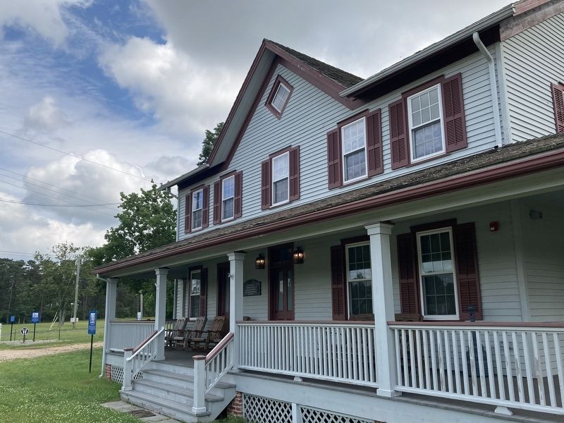
Photographed by Thomas Anderson, June 17, 2021
2. The White Horse Inn
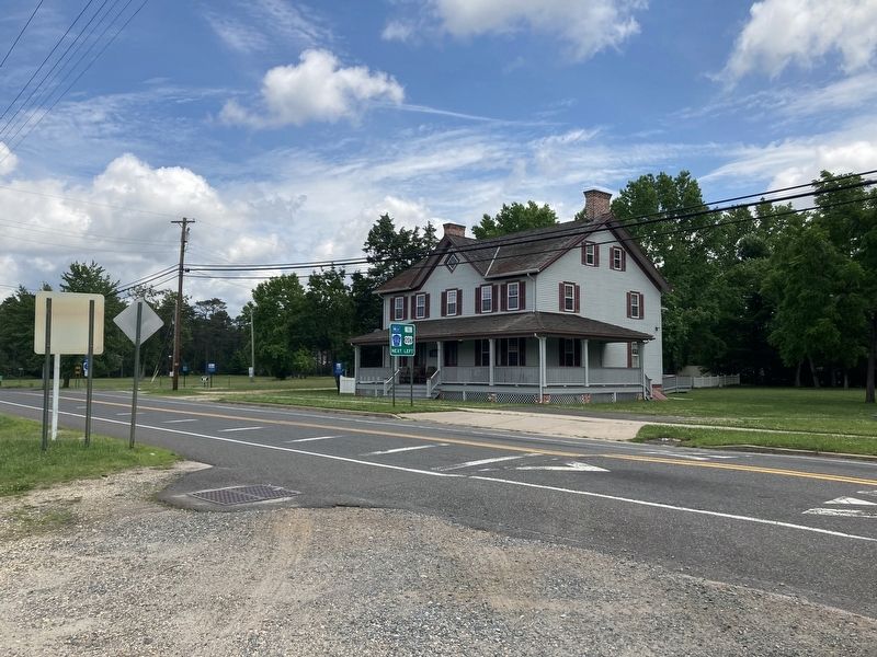
Photographed by Thomas Anderson, June 17, 2021
3. The White Horse Inn
Credits. This page was last revised on July 2, 2021. It was originally submitted on June 27, 2021, by Thomas Anderson of Haddon Township, New Jersey. This page has been viewed 1,064 times since then and 77 times this year. Last updated on June 30, 2021, by Thomas Anderson of Haddon Township, New Jersey. Photos: 1, 2, 3. submitted on June 27, 2021, by Thomas Anderson of Haddon Township, New Jersey. • Michael Herrick was the editor who published this page.
