Near Frelsburg in Colorado County, Texas — The American South (West South Central)
Mike Muckleroy
(Sept. 27, 1808 - July 28, 1896)
Photographed by James Hulse, June 27, 2021
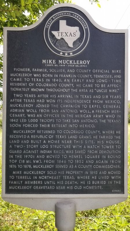
1. Mike Muckleroy Marker
Pioneer, farmer, soldier, and county official Mike Muckleroy was born in Franklin County, Tennessee, and came to Texas in 1840. An early and long-time resident of Colorado County, he came to be affectionately known throughout the area as "Uncle Mike."
Two years after his arrival in Texas and six years after Texas had won its independence from Mexico, Muckleroy joined the campaign to expel General Adrian Woll from San Antonio. Woll, a French mercenary, was an officer in the Mexican Army who in 1842 led 1,000 troops to take San Antonio. The Texans soon forced their retreat into Mexico.
Muckleroy returned to Colorado County, where he received a Republic of Texas Land Grant. He farmed the land and built a home near this site. His house, a two-story log structure with a watch tower to guard against Indian raids, was saved from demolition in the 1970s and moved to Henkel Square in Round Top (18 Mi. NW). From 1846 to 1852 and again from 1876 to 1878, Muckleroy served as a County Commissioner.
Mike Muckleroy sold his property in 1895 and moved to Terrell in Northeast Texas, where he lived with family members until his death. He is buried in the Muckleroy graveyard near his old homesite.
Erected 1985 by Texas Historical Commission. (Marker Number 3522.)
Topics. This historical marker is listed in these topic lists: Settlements & Settlers • War, Texas Independence • Wars, US Indian. A significant historical year for this entry is 1840.
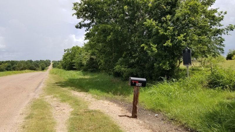
Location. 29° 54.566′ N, 96° 32.656′ W. Marker is near Frelsburg, Texas, in Colorado County. It is on McElroy Lane one mile north of San Felipe Road (County Highway 31), on the right when traveling north. The marker is located on the east side of the road. Touch for map. Marker is at or near this postal address: 1160 McElroy Lane, New Ulm TX 78950, United States
this page online

Regionally, this marker is in the American South and on the Gulf Coast. Globally, it is in North America, a Gulf of Mexico state, the Western Hemisphere, the Western World, and the Anglosphere. Historically, it finds itself in what was once New Spain, the Republic of Texas, one of the Confederate States of America, and the Antebellum South.
Other nearby markers. At least 8 other markers are within 4 miles of this marker, measured as the crow flies: Trinity Lutheran Church Cemetery (approx. 2.6 miles away); Trinity Lutheran Church (approx. 2.7 miles away); Frelsburg (approx. 2.7 miles away); Saints Peter and Paul Catholic Church (approx. 3 miles away); Frnka Family Cemetery (approx. 3.3 miles away); Josef Lidumil Lešikar (approx. 3.3 miles away); New Ulm Cemetery (approx. 3.4 miles away); Site of the Town of New Ulm (approx. 3.4 miles away). Touch for a list and map of all markers in Frelsburg.
Also see . . . Mexican Invasions of 1842.
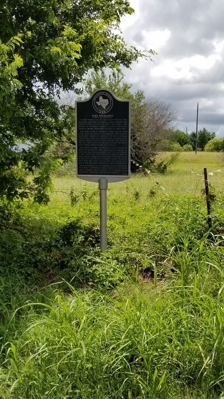
On September 11, 1842, a Mexican army of 1,400 men under the command of Gen. Adrián Woll again captured San Antonio. Unlike the earlier Vásquez(Submitted on June 30, 2021, by James Hulse of Medina, Texas.)raid there was little advance warning, Woll having taken an old smuggling trail through the hills west of San Antonio. After a brief but spirited defense of the town, the Anglo-Texan residents surrendered. District court had been in session that week in San Antonio, and the captives included the judge and two members of the Texas Congress, as well as several attorneys and clerks. Juan Seguín commanded a militia unit in the assault on the town, confirming Anglo suspicions of Tejano collaboration with Mexico. Source: The Handbook of TexasPhotographed by James Hulse, June 27, 20212. The Mike Muckleroy Marker is next to the fence
Photographed by James Hulse, June 27, 2021
3. The view of the Mike Muckleroy Marker from the road
Credits. This page was last revised on June 30, 2021. It was originally submitted on June 30, 2021, by James Hulse of Medina, Texas. This page has been viewed 895 times since then and 287 times this year. Photos: 1, 2, 3. submitted on June 30, 2021, by James Hulse of Medina, Texas.
