Financial District in Boston in Suffolk County, Massachusetts — The American Northeast (New England)
The Waterfront Then and Now / The Custom House
The Norman B. Leventhal Walk to the Sea
Inscription.
The Walk to the Sea encompasses four centuries of Boston history. Beginning at the State House on Beacon Hill, overlooking Boston's ancient Common, the Walk passes among historic landmarks and skyscrapers. The Walk crosses ground that, centuries earlier, was not ground at all but an active harbor. Boston's history is tied to the sea, whose smells and sounds once pervaded the town. The Walk from summit to sea, spanning one mile and descending a hundred feet, brings that history to life.
Mayor Thomas Menino dedicated the Norman B. Leventhal Walk to the Sea in 2008. For more information, explore The Norman B. Leventhal Map Center at the Boston Public Library (www.maps.bpl.org).
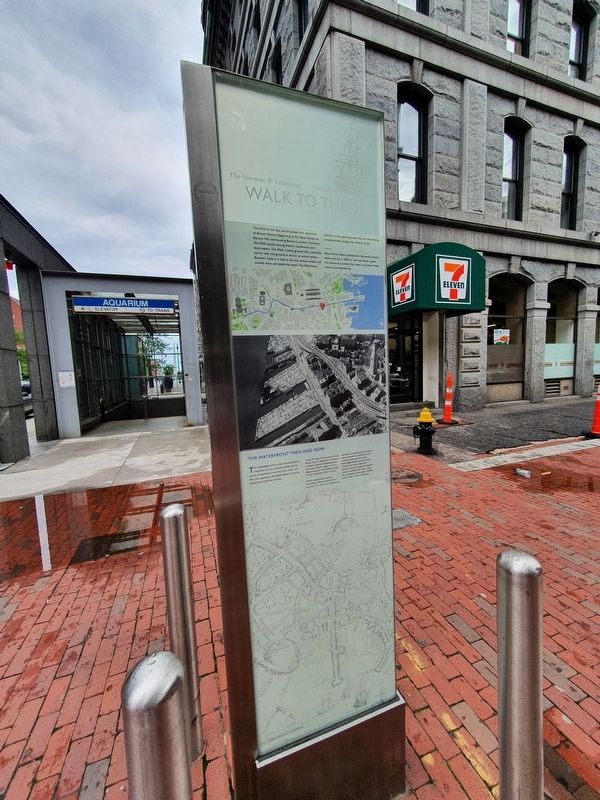
The Waterfront Then and Now
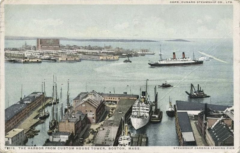
The shipbuilding industry that enlivened Bostonís waterfront for two centuries ended with the advent of steamships around the time of the Civil War. Port operations diminished. Bostonís maritime infrastructure became obsolete.
In the 20th century, the proud Custom House came to dominate a waterfront in decline. Instead of shipped goods, the vacant wharves began to store a different kind of commodity ó parked cars for downtown office workers.
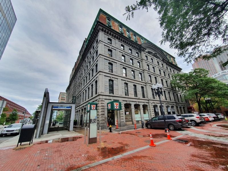
Within a generation, however, the bustle at Bostonís waterfront returned. The ships and longshoremen were gone. Great granite warehouses were converted to apartments, and cultural institutions, such as the New England Aquarium, were built. Hotels took choice waterfront locations. Tourist cruises and pleasure boats re-enlivened the docks. Today, the waterfront is once again crowded with activity, its uses re-imagined.
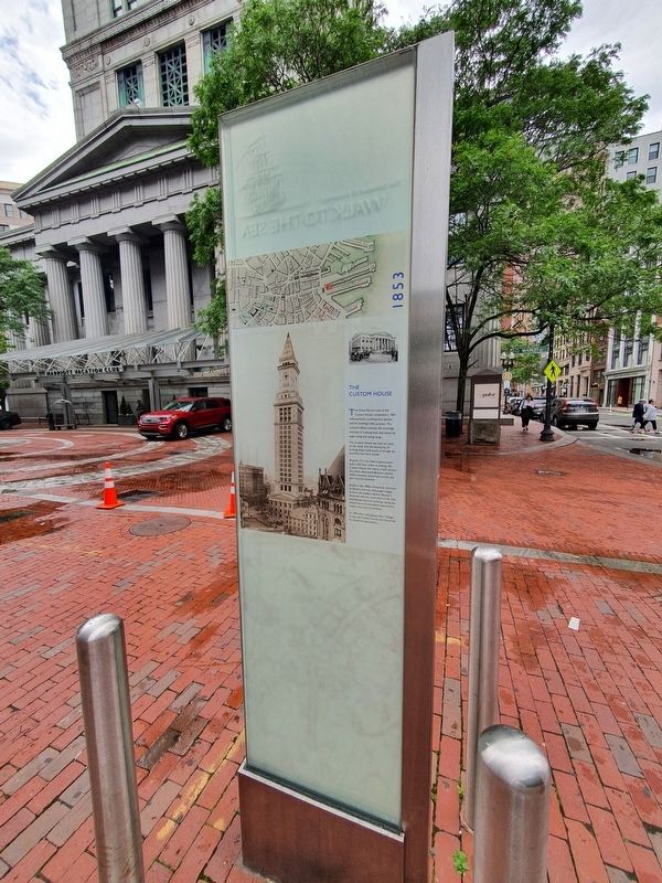
The Custom House
The Walk to the Sea intersects two other historic trails through Boston, the Freedom Trail and the Black Heritage Trail.
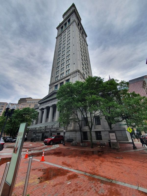
The Greek Revival style of the Custom House, completed in 1847, reflected both contemporary fashion and the buildingís lofty purpose. The customs offices oversaw the sovereign interests of a young state and nation by supervising and taxing cargo.
The Custom House was built so close to the water that the bowsprits of arriving ships could touch it, though the shoreline has since moved.
Around 1913, the federal government built a 433-foot tower to enlarge the Custom House. For nearly a half century the tower dominated Bostonís skyline, while, ironically, waterfront activity and port services declined.
Finally, in the 1960s, investment returned to Boston and new skyscrapers began to form the modern skyline. Bostonís deserted wharves came back to life. Old warehouses and new buildings along the waterfront accommodated apartments, hotels, and cultural activities.
In 1995, after undergoing other
changes of use, the Custom House was converted to timeshare apartments.
Erected by City of Boston.
Topics. This historical marker is listed in these topic lists: Industry & Commerce • Waterways & Vessels. A significant historical year for this entry is 2008.
Location. 42° 21.557′ N, 71° 3.192′ W. Marker is in Boston, Massachusetts, in Suffolk County. It is in the Financial District. Marker is at the intersection of State Street and McKinley Square, on the left when traveling west on State Street. Touch for map. Marker is in this post office area: Boston MA 02109, United States of America. Touch for directions.
Other nearby markers. At least 8 other markers are within walking distance of this marker. Custom House (a few steps from this marker); U.S. Custom House (within shouting distance of this marker); a different marker also named Custom House (within shouting distance of this marker); The Continental Wingate Company Building (within shouting distance of this marker); Rose Fitzgerald Kennedy Greenway (about 300 feet away, measured in a direct line); Flour and Grain Exchange (about 300 feet away); Pollinator Garden on the Greenway (about 400 feet away); Larry "Legend" Bird (about 400 feet away). Touch for a list and map of all markers in Boston.
Credits. This page was last revised on January 30, 2023. It was originally submitted on June 30, 2021, by J. Makali Bruton of Accra, Ghana. This page has been viewed 203 times since then and 18 times this year. Photos: 1, 2, 3, 4. submitted on June 30, 2021, by J. Makali Bruton of Accra, Ghana. 5. submitted on July 5, 2021.
