Vincennes
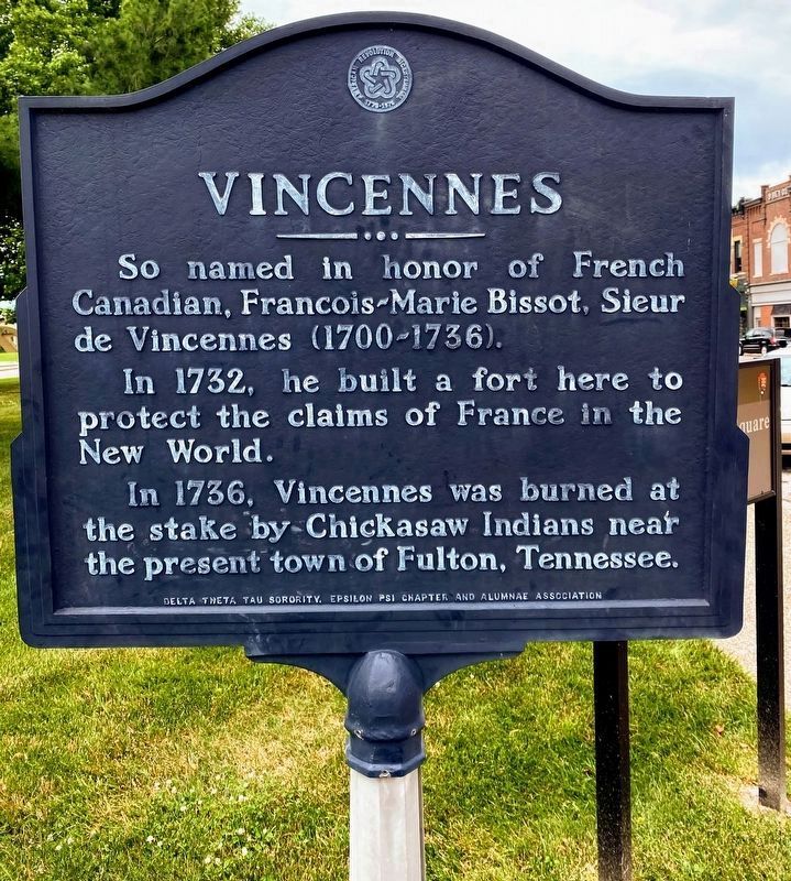
So named in honor of French Canadian, Francois-Marie Bissot, Sieur de Vincennes (1700–1736).
In 1732, he built a fort here to protect the claims of France in the New World.
In 1736, Vincennes was burned at the stake by Chickasaw Indians near the present town of Fulton, Tennessee.
Erected by Delta Theta Tau Sorority, Epsilon Psi Chapter and Alumnae Association.
Topics. This historical marker is listed in these topic lists: Colonial Era • Indigenous Peoples and Communities. A significant historical year for this entry is 1732.
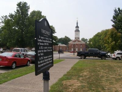
Location. 38° 40.796′ N, 87° 31.959′ W. Marker is in Vincennes, Indiana, in Knox County. It is at the intersection of South 2nd Street and Main Street when traveling west on South 2nd Street. Touch for map. Marker is at or near this postal address: 12 S 2nd St, Vincennes IN 47591, United States of America. Touch for directions.
Regionally, this marker is in Indiana’s Tri-State Region, in Southern Indiana, and in the Wabash Valley. It is also in the American Midwest and in the Corn Belt. Globally, it is in North America, the Western Hemisphere, the Western World, and
this page online
Other nearby markers. At least 8 other markers are within walking distance of this marker: Gimbel's Department Store (within shouting distance of this marker); U.S.S. Vincennes (within shouting distance of this marker); Patrick Henry Square (within shouting distance of this marker); a different marker also named Patrick Henry Square (within shouting distance of this marker); Gold Star Honor Roll (within shouting distance of this marker); Site of House Occupied as Headquarters (about 300 feet away, measured in a direct line); Vincennes in the American Revolution (about 300 feet away); Patriotism of Charles Gratiot (about 300 feet away). Touch for a list and map of all markers in Vincennes.
Also see . . . Vincennes, Indiana. Wikipedia entry (Submitted on November 13, 2020, by Larry Gertner of New York, New York.)
Credits. This page was last revised on July 1, 2021. It was originally submitted on September 17, 2007, by Christopher Light of Valparaiso, Indiana. This page has been viewed 2,205 times since then and 64 times this year. Last updated on July 1, 2021, by Shane Oliver of Richmond, Virginia. Photos: 1. submitted on July 1, 2021, by Shane Oliver of Richmond, Virginia. 2, 3. submitted on September 17, 2007, by Christopher Light of Valparaiso, Indiana. • Devry Becker Jones was the editor who published this page.
