Central Oklahoma City in Oklahoma County, Oklahoma — The American South (West South Central)
The Choctaw Road
Oklahoma City 1889-1891
— The '89er Trail —
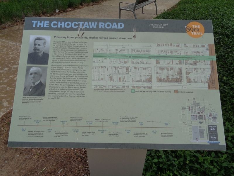
In August, 1889, an issue surfaced with settlers that would reverberate for years to come. The Choctaw Coal and Railway Company wanted to build a railroad (the "Choctaw Road") through Oklahoma City to carry coal from McAlester in Indian Territory. The company had been granted a right-of-way by Congress in 1888 which was ignored by the Seminole survey and settlers were now occupying all the lots where the railroad wanted to build. Would the settlers in the way relinquish their claims? It wouldn't be easy.
After Congress authorized territorial government in 1890 and W.J. Gault was elected the first mayor under territorial law, a compromise was negotiated to reduce the Choctaw right-of-way to 100 feet, use the east-west alley between First and Second Streets, and buy 40 feet on either side from lot holders for about $20,000. A committee selected by the mayor and Board of Trade asked citizens and businesses to contribute the required funds. When the committee came up short, the city decided to raise the fees for saloon licenses and sell scrip backed up by the increase. The saloon keepers bought the scrip at a discount, effectively funding the rail line. The right of way was acquired and the first Choctaw train arrived on May 10, 1891.
(timeline at bottom:)
May 1, 1889 - The first formal election is held. A mayor and city council are chosen. May 23-24, 1889 - Cheyenne and Arapahoe leaders meet with federal officials to discuss the sale of land claims outside the Unassigned Lands. July 16, 1889 - Election to adopt Kickapoo dissenters' new city charter is shut down by the mayor. August 29, 1889 - A new city charter written by supporters of the mayor is overwhelmingly rejected at the polls. September 17, 1889 - Six congressmen visit the city for a first-hand look at Oklahoma country. September 21, 1889 - Another Kickapoo charter election is broken up by the U.S. military. November 11, 1889 - Mayor W.L. Couch resigns after months of political unrest. November 27, 1889 - Dr. A.J. Beale, a Kickapoo leader, is elected to replace Mayor Couch. December 1889 - Federal officials order Mayor Beale to stop challenges to existing property ownership, effectively shutting down city government. May 2, 1890 - The Oklahoma Organic Act sets federal rules to establish territorial government. July 15, 1890 - Oklahoma City incorporated August 9, 1890 - W.J. Gault is elected the first mayor of Oklahoma City after incorporation.
(photo captions:)
·Mayor W.J. Gault and Henry Overholser were among the young city's most ardent railroad promoters.
·Settlers were
forced to sell 40 feet from their backyards for a railroad right-of-way, funded by fees from saloon keepers.
Erected 2018 by Oklahoma City Community Foundation. (Marker Number 24.)
Topics and series. This historical marker is listed in these topic lists: Industry & Commerce • Native Americans • Railroads & Streetcars • Settlements & Settlers. In addition, it is included in the The '89er Trail series list. A significant historical date for this entry is May 10, 1891.
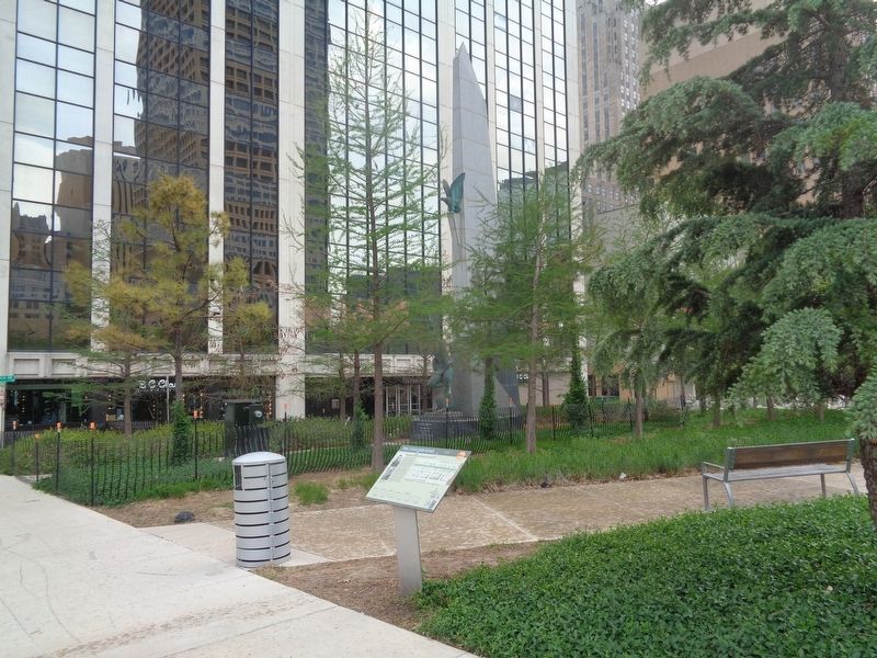
Location. 35° 28.166′ N, 97° 30.877′ W. Marker is in Oklahoma City, Oklahoma, in Oklahoma County. It is in Central Oklahoma City. Marker is on North Broadway Avenue south of Robert S Kerr Avenue, on the right when traveling south. Marker is located at the east edge of Kerr Park. Touch for map. Marker is at or near this postal address: 102 Robert S Kerr Ave, Oklahoma City OK 73102, United States of America. Touch for directions.
Other nearby markers. At least 8 other markers are within walking distance of this marker. Air Force Monument (a few steps from this marker); In Memory of Robert Samuel Kerr (within shouting distance of this marker); Settling the Conflicting Surveys (about 700 feet away, measured in a direct line); The Citizens' Committee (about 700 feet away); The Election of May 1, 1889 (about 700 feet away); Angelo C. Scott (about 700 feet away); Automobile Alley (approx. 0.2 miles away); a different marker also named Automobile Alley (approx. 0.2 miles away). Touch for a list and map of all markers in Oklahoma City.
Credits. This page was last revised on July 17, 2023. It was originally submitted on July 1, 2021, by Jason Voigt of Glen Carbon, Illinois. This page has been viewed 136 times since then and 14 times this year. Photos: 1, 2. submitted on July 1, 2021, by Jason Voigt of Glen Carbon, Illinois.

