Near Churchill in Chippewa County, Minnesota — The American Midwest (Upper Plains)
Lac qui Parle Mission & Fort Renville
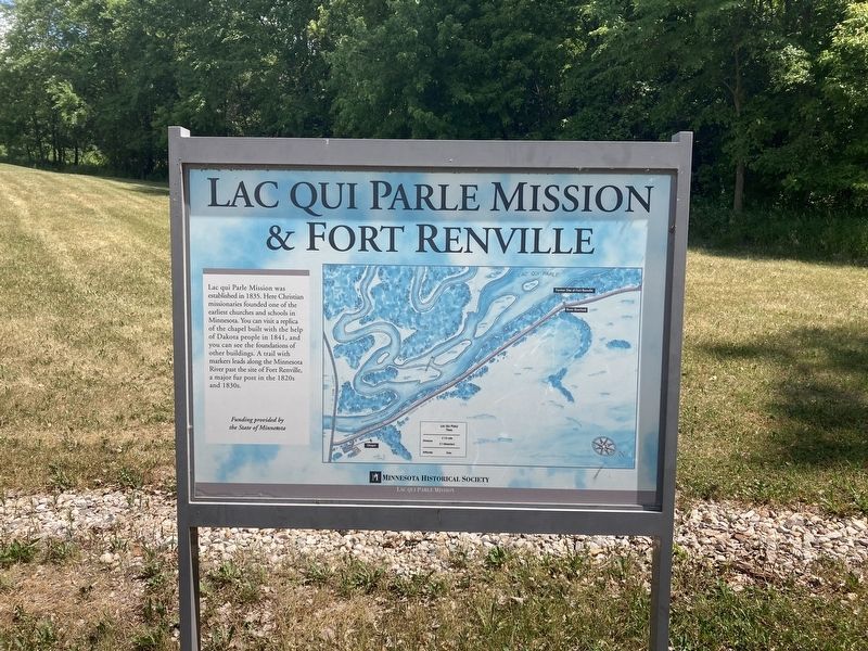
Photographed by Connor Olson, June 29, 2021
1. Lac Qui Parle Mission & Fort Renville Marker
Erected by Minnesota Historical Society.
Topics. This historical marker is listed in these topic lists: Forts and Castles • Indigenous Peoples and Communities • Religion & Religious Structures. A significant historical year for this entry is 1835.
Location. 45° 1.378′ N, 95° 52.062′ W. Marker is near Churchill, Minnesota, in Chippewa County. It is on 140th Avenue Northwest (County Road 32) north of 1st Street West (County Road 13), on the right when traveling north. Located at the Lac qui Parle Mission State Historic Site. Touch for map. Marker is in this post office area: Watson MN 56295, United States of America. Touch for directions.

Regionally, this marker is in Southwest Minnesota. It is also in the
this page online
Other nearby markers. At least 8 other markers are within walking distance of this marker: Lac qui Parle Mission (a few steps from this marker); Williamson Cabin (within shouting distance of this marker); Acculturation & Autonomy (within shouting distance of this marker); Missionaries at Lac qui Parle (about 300 feet away, measured in a direct line); The ABCFM (about 300 feet away); Dakotas at Lac qui Parle (about 300 feet away); Huggins Cabin (about 300 feet away); The Dakota (about 400 feet away). Touch for a list and map of all markers in Churchill.
Also see . . .
1. Lac qui Parle Mission. (Submitted on July 2, 2021, by Connor Olson of Menomonee Falls, Wisconsin.)
2. Fort Renville. (Submitted on July 2, 2021, by Connor Olson of Menomonee Falls, Wisconsin.)
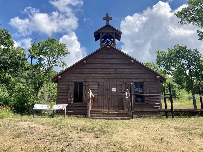
Photographed by Connor Olson, June 29, 2021
2. Reconstructed Lac Qui Parle Mission Chapel
Credits. This page was last revised on July 2, 2021. It was originally submitted on July 2, 2021, by Connor Olson of Menomonee Falls, Wisconsin. This page has been viewed 431 times since then and 60 times this year. Photos: 1, 2. submitted on July 2, 2021, by Connor Olson of Menomonee Falls, Wisconsin. • Mark Hilton was the editor who published this page.
